Old Maps of Poncha Springs, Colorado for Genealogy
Trace your family roots with 29 historic maps of Poncha Springs. These high-res maps reveal old neighborhoods, homesites, landmarks, and streets — helping you uncover where your ancestors lived and how the area evolved over time.
- Explore historic neighborhoods: Identify where your relatives may have lived in the 1800s or 1900s.
- Compare maps over time: Trace the changes in streets, buildings, and landmarks for multi-generational research.
- Perfect for genealogy & ancestry research: Used by family historians and researchers to map out lineage and migration.
These maps are an incredible resource for exploring your personal connection to Poncha Springs's past.
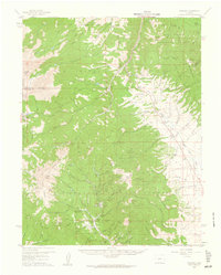
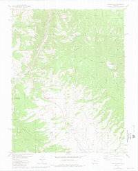
Poncha Springs, CO maps
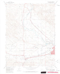
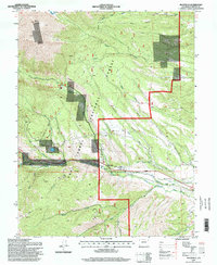
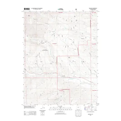
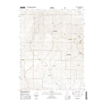
(29)- 1956 Map of Poncha Springs, 1959 Print
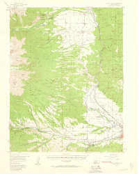 1956 Poncha Springs1959 Print · USGSThe Arkansas River valley comes alive in the mid-1950s, showing the intersection of mountain ranching, early tourism, and the Denver and Rio Grande Western Railroad. Trace local history through Smeltertown, Maysville, and rural landmarks like the Valley View Sch.6 unique versions available
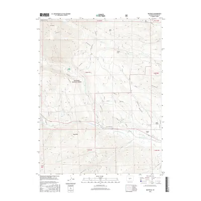
 - 1956 Map of Montrose, 1963 Print
 1956 Montrose1963 Print · USGSThe Colorado western slope in the late fifties and early sixties shows a landscape defined by the Denver & Rio Grande Western RR and the Gunnison River. Trace the development of Blue Mesa Reservoir or locate high-country sites like the Bachelor Mine.3 unique versions available
 - 1959 Map of Montrose
 1959 Montrose1959 Print · USGSWestern Colorado in the late fifties is defined by the high peaks and river valleys of the Southern Rockies. Genealogists and historians can trace the paths of the Denver & Rio Grande Western RR or locate mountain settlements like Crawford, Lazear, and Doyleville.
 - 1959 Map of Bonanza, 1961 Print
 1959 Bonanza1961 Print · USGSSaguache County's rugged mining corridors are captured here in the late fifties as the regional silver and lead industries matured. Genealogists and historians can trace the foundations of Bonanza, the former townsite at Sedgwick, and numerous working claims like the Rawley Mine.5 unique versions available
 - 1960 Map of Montrose
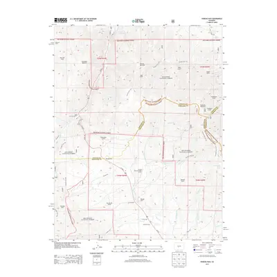
 1960 Montrose1960 Print · USGSThe Colorado high country in the mid-fifties is captured here during a period of steady ranching and persistent mining. Researchers can trace the path of the Denver & Rio Grande Western RR or locate small settlements like Somerset, Maher, and Sargent.2 unique versions available
 - 1968 Map of Montrose
 1968 Montrose1968 Print · USGSThe Western Slope and Continental Divide meet in the late sixties, showing the vital river valleys and high-mountain mining districts. Trace the historic route of the Denver and Rio Grande Western RR or locate small settlements like Sargents and Powderhorn.
 - 1980 Map of Poncha Pass, 1981 Print
 1980 Poncha Pass1981 Print · USGSThe high mountain pass between Chaffee and Saguache counties is documented here in the early eighties as a corridor of transit and mining. Researchers can trace the path of the Old Railroad Grade and locate long-standing landmarks like Mearx Junction and Camp Rock.4 unique versions available
 - 1982 Map of Saguache, 1983 Print
 1982 Saguache1983 Print · USGSThe San Luis Valley meets the high peaks of the Sawatch Range in the early 1980s, revealing a landscape shaped by mining and rail. Researchers can trace the Denver and Rio Grande Western railroad and locate high-altitude sites like the Rawley Mine and the settlement of Bonanza.
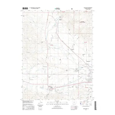
 - 1983 Map of Salida West
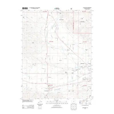
 1983 Salida West1983 Print · USGSChaffee County during the early 1980s reveals a mountain valley anchored by the Arkansas River and the industrial roots of Smeltertown. Researchers can locate family landmarks such as Fairview Cem, the Shavano State Fish Hatchery, and the Denver and Rio Grande Western rail line.3 unique versions available
 - 1983 Map of Maysville
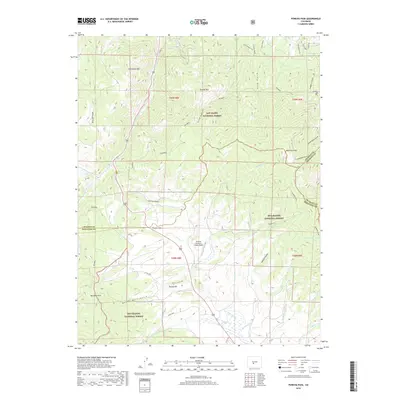
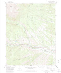 1983 Maysville1983 Print · USGSMaysville and the southern Sawatch Range are captured in the early 1980s as a landscape of high peaks and alpine water management. Researchers can trace the routes of the Hoosier Ditch, locate several Mine sites, and find landmarks like Mount Shavano.
 - 1984 Map of Gunnison
 1984 Gunnison1984 Print · USGSHigh mountain passes and historic mining districts define this mid-eighties record of the central Colorado Rockies. Genealogists and historians can trace the foundations of Gunnison and Crested Butte or locate remote sites like St Elmo, Tincup, and Hancock.2 unique versions available
 - 1994 Map of Poncha Pass, 1998 Print
 1994 Poncha Pass1998 Print · USGSSaguache County and the high country of the Sangre De Cristo range are captured here in the mid-1990s. Researchers can trace the junction of three counties and locate old resource sites like Mears Junction, Poncha Hot Springs, and the Rainbow Trail.
 - 1994 Map of Salida West, 1998 Print
 1994 Salida West1998 Print · USGSThe Upper Arkansas River Valley in the mid-nineties shows a landscape shaped by high-altitude ranching, mining, and river industry. Researchers can trace the irrigation networks of Adobe Park or locate the Shavano State Fish Hatchery and Smeltertown.
 - 1994 Map of Maysville, 1998 Print
 1994 Maysville1998 Print · USGSThe high peaks and valley floors of Chaffee County are captured in the mid-1990s as alpine recreation and water management define the landscape. Researchers can trace the town of Maysville and the South Arkansas River alongside the COLORADO TRAIL and the high mines of Mount Shavano.
 - 2011 Map of Poncha Pass, 2011 Print
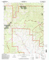
 2011 Poncha Pass2011 Print · USGSCovers Poncha Springs, including Fremont County, Chaffee County, and other nearby areas
 - 2011 Map of Maysville, 2011 Print
 2011 Maysville2011 Print · USGSCovers Poncha Springs, including Maysville, Chaffee County, and other nearby areas
 - 2011 Map of Salida West, 2011 Print
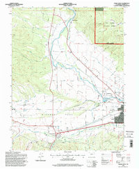
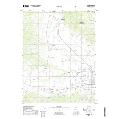
 2011 Salida West2011 Print · USGSCovers Poncha Springs, including Salida, Smeltertown, and other nearby areas
 - 2013 Map of Maysville, 2013 Print
 2013 Maysville2013 Print · USGSCovers Poncha Springs, including Maysville, Chaffee County, and other nearby areas
 - 2013 Map of Poncha Pass, 2013 Print
 2013 Poncha Pass2013 Print · USGSCovers Poncha Springs, including Fremont County, Chaffee County, and other nearby areas
 - 2013 Map of Salida West, 2013 Print
 2013 Salida West2013 Print · USGSCovers Poncha Springs, including Salida, Smeltertown, and other nearby areas
 - 2016 Map of Maysville, 2016 Print
 2016 Maysville2016 Print · USGSCovers Poncha Springs, including Maysville, Chaffee County, and other nearby areas
 - 2016 Map of Poncha Pass, 2016 Print
 2016 Poncha Pass2016 Print · USGSCovers Poncha Springs, including Fremont County, Chaffee County, and other nearby areas
 - 2016 Map of Salida West, 2016 Print
 2016 Salida West2016 Print · USGSCovers Poncha Springs, including Salida, Smeltertown, and other nearby areas
 - 2019 Map of Salida West, 2019 Print
 2019 Salida West2019 Print · USGSCovers Poncha Springs, including Salida, Smeltertown, and other nearby areas
 - 2019 Map of Poncha Pass, 2019 Print
 2019 Poncha Pass2019 Print · USGSCovers Poncha Springs, including Fremont County, Chaffee County, and other nearby areas
Showing maps 1-25 of 29
Top cities near Poncha Springs
Frequently asked questions
- What are the different types of historical maps available for Poncha Springs?
- What is the oldest map of Poncha Springs?
- Where can I purchase historical maps of Poncha Springs for my home or office?
- Where can I download high-res historical maps of Poncha Springs?
- Are there historical topographic maps available for Poncha Springs?
- Is there historical aerial imagery available for Poncha Springs?
- Where are historical maps of Poncha Springs sourced from?