1970s Maps of Elbert County, Colorado
Explore 38 historic maps of Elbert County from the 1970s. These maps offer a rare glimpse into what life looked like during the 1970s — showing old roads, neighborhoods, homes, and landmarks that have changed or disappeared over time.
Whether you're researching your family's past, planning a metal detecting trip, or studying how Elbert County's landscape evolved across the 1970s, these high-resolution maps are a powerful tool for exploring the history of this region.
- Focus on a specific era: All maps on this page are from the 1970s, giving you a focused view of this time period.
- See what’s changed: Compare century-old streets, trails, and buildings to today's modern landscape using overlays and satellite layers.
- Research with precision: Use these maps for genealogy, historical research, land use analysis, or educational projects.
- View, download, or print: Maps are fully viewable online in high resolution, and can be downloaded or printed for your own records.
Start exploring Elbert County's history through authentic maps from the 1970s. This is your window into the past.
Elbert County, CO maps
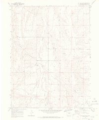
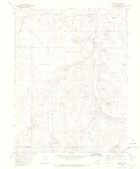
(38)- 1970 Map of Matheson SW, 1973 Print
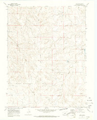
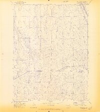
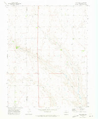
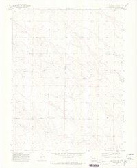 1970 Matheson SW1973 Print · USGSElbert County ranching country is captured here during the early seventies, showing the sparse infrastructure of the high plains. Researchers can trace the path of Harrisville Road and locate several Gravel Pit sites along Middle Rush Creek.
 - 1970 Map of Kiowa NE, 1973 Print
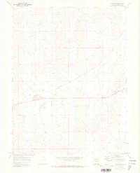
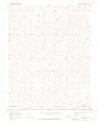
 1970 Kiowa NE1973 Print · USGSThe high plains of Elbert County are captured here in the early seventies, dominated by the parallel courses of Comanche Creek and West Bijou Creek. Local researchers can trace land boundaries or locate specific sites like the Radio Facility and Gravel Pit.
 - 1970 Map of Agate, 1973 Print
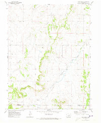
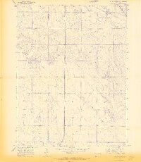
 1970 Agate1973 Print · USGSElbert County high plains life in the early seventies centered on the rail corridor and cattle country. Trace the Union Pacific line through Agate or locate the Ball Reservoir and Storage Bins that supported the local ranching economy.3 unique versions available
 - 1970 Map of Big Gulch, 1973 Print
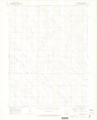
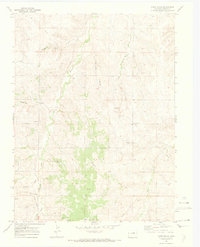
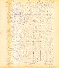
 1970 Big Gulch1973 Print · USGSElbert County ranching country is documented here in the early seventies, centered on the drainage basins of the High Plains. Genealogists and local historians can locate the community of Fondis, a local Cem, and the route of Freeze Road.2 unique versions available
 - 1970 Map of Cattle Gulch, 1973 Print
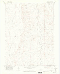
 1970 Cattle Gulch1973 Print · USGSThe high plains of Elbert County appear in the early seventies as a terrain defined by its watercourses and ranching infrastructure. Trace the pathways of Middle Bijou Creek and Cattle Gulch, or locate isolated features like a Drill Hole and several Gravel Pits.4 unique versions available
 - 1970 Map of Fondis, 1973 Print
 1970 Fondis1973 Print · USGSThe rural plains of Elbert County are captured here in the early seventies, detailing the drainage basins and sparse settlements of the era. Genealogists and local historians can trace the locations of Fondis, Lemesany, and the East Bijou Sch.
 - 1970 Map of Kiowa NW, 1973 Print
 1970 Kiowa NW1973 Print · USGSElbert County ranchlands and creek beds are captured here in the early seventies during a period of steady rural development. Genealogists and local historians can locate the Ebenezer Cem and trace industry via early Oil Well sites and a prominent cross-country Pipeline.5 unique versions available
 - 1970 Map of Bijou SW, 1973 Print
 1970 Bijou SW1973 Print · USGSElbert County ranching country is captured here during the late sixties, showing a landscape defined by creek drainages and private airstrips. Researchers can locate the Norton Cem, the settlement of Minter, and the private aviation infrastructure at Brittingham Ranch.2 unique versions available
 - 1970 Map of Bijou, 1973 Print
 1970 Bijou1973 Print · USGSThe High Plains of Elbert County appear in the early seventies as a landscape of wide drainage gulches and long ridges. Genealogists and local historians can locate the Gair Cem and trace the paths of Middle Bijou Creek and Mule Gulch.4 unique versions available
 - 1970 Map of Matheson, 1973 Print
 1970 Matheson1973 Print · USGSMatheson and the surrounding Elbert County ranchlands are documented here in the early 1970s, centered on the Chicago Rock Island and Pacific rail line. Researchers can locate specific local landmarks like the Storage Bin, the summit of Matheson Hill, and the course of Big Sandy Creek.
 - 1970 Map of Bijou Basin, 1973 Print
 1970 Bijou Basin1973 Print · USGSElbert and El Paso counties appear here at the start of the 1970s, showing a landscape defined by the Bijou Basin and its winding creek beds. Family historians and researchers can locate the Bijou Basin Cem and trace early resource sites like the Oil Well and Gravel Pit.5 unique versions available
 - 1970 Map of Matheson SE, 1973 Print
 1970 Matheson SE1973 Print · USGSThe high plains of eastern Colorado are captured here in the early seventies, showing a landscape defined by the branching waters of North Rush Creek. Genealogists and historians can trace property boundaries and land use through mapped fence lines, Wells, and the winding course of Apache Creek.
 - 1970 Map of Beuck Draw, 1973 Print
 1970 Beuck Draw1973 Print · USGSElbert County ranching country is captured here during the early seventies, showing a landscape defined by its deep draws and rail lines. Researchers can trace the path of the Union Pacific near Cedar Point or follow the windings of Beuck Draw.3 unique versions available
 - 1970 Map of Cabin Gulch, 1973 Print
 1970 Cabin Gulch1973 Print · USGSElbert County during the early seventies is documented here through its network of creek drainages and rural landmarks. Genealogists and local historians can locate the Miller Cem and trace the development of sites like the Church Camp and Landing Strip.4 unique versions available
 - 1970 Map of Kiowa, 1973 Print
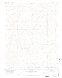
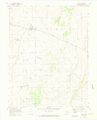 1970 Kiowa1973 Print · USGSKiowa and its surrounding Elbert County ranchlands are captured here in the early seventies, centered on the confluence of several high plains waterways. Genealogists and local historians can locate the County Fairground, trace the path of Kiowa Creek, and identify local landmarks like the Radio Tower.5 unique versions available
 - 1970 Map of Limon, 1973 Print
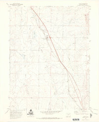
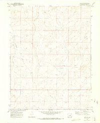
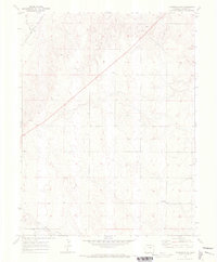
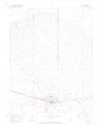 1970 Limon1973 Print · USGSLimon at the start of the 1970s is a bustling rail hub where the High Plains meet critical transport lines. Genealogists and rail historians can trace the intersection of the Union Pacific and Chicago Rock Island and Pacific alongside landmarks like Pershing Mem Cem.
 - 1970 Map of Elbert, 1973 Print
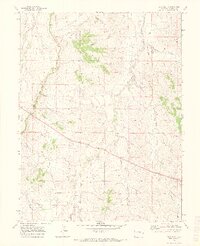
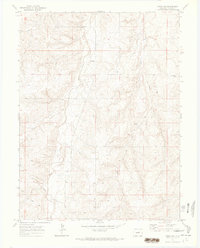
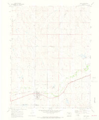
 1970 Elbert1973 Print · USGSThe town of Elbert sits at the heart of this 1970s ranching landscape as the rail era gives way to modern transit. Trace family roots at the local Cem or follow the route of the Old Railroad Grade past the Peaceful Valley Ranch.4 unique versions available
 - 1970 Map of Ramah North, 1973 Print
 1970 Ramah North1973 Print · USGSEastern Elbert County appears here just as the early seventies began, showing the rural landscape around Ramah. Genealogists and local historians can trace family-named sites like Sproch Cem, Sakaia Cem, and the St Mary Ch.3 unique versions available
 - 1970 Map of Four Corners, 1973 Print
 1970 Four Corners1973 Print · USGSLincoln County at the start of the 1970s shows a quiet plains landscape defined by the intersection of county lines and rail lines. Local historians can trace the Union Pacific corridor through the Big Sandy Creek valley or locate the Cem near Four Corners.2 unique versions available
 - 1970 Map of Alta Vista, 1973 Print
 1970 Alta Vista1973 Print · USGSEl Paso and Elbert counties meet in this High Plains landscape during the early 1970s, showing a network of rural ranch roads and prairie drainages. Researchers can locate the settlement of Alta Vista and trace historic routes like Hoot Owl Road and Beck Sand Draw Crossing.2 unique versions available
 - 1970 Map of Long Creek, 1973 Print
 1970 Long Creek1973 Print · USGSEastern Colorado plains life in the early seventies centered on the essential drainage of Long Creek and Apache Creek. Trace the 1960s-era boundary lines and find remote landmarks like the Gravel Pit and scattered wells across the Elbert-Lincoln county line.
 - 1970 Map of Barking Dog Spring, 1973 Print
 1970 Barking Dog Spring1973 Print · USGSElbert County ranching country is captured here during the 1970s as the high plains landscape was mapped for topographic detail. Researchers can trace vital water sources and land use through Barking Dog Spring, Picnic Springs, and the Cheyenne Lookout.2 unique versions available
 - 1970 Map of Matheson NE, 1973 Print
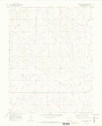
 1970 Matheson NE1973 Print · USGSElbert County's high plains terrain is documented here in the early 1970s, showing a landscape shaped by ranching and rail. Genealogists and historians can locate rural landmarks like the Pleasant Plains Community Ch and the Dunkers Cem.
 - 1970 Map of Kuhns Crossing, 1973 Print
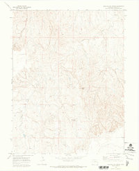
 1970 Kuhns Crossing1973 Print · USGSThe Elbert County plains appear in the early seventies as a landscape of remote ranching outposts and winding creek beds. Genealogists and local historians can locate Kuhns Crossing and trace water sources like Bland Spring or the rugged path of Sixshooter Gulch.
 - 1970 Map of Simla, 1973 Print
 1970 Simla1973 Print · USGSThe High Plains community of Simla is captured in the early 1970s, established along the Chicago Rock Island and Pacific railroad line. Researchers can trace local landmarks like the Big Sandy Sch and the town Cem near Sandy Creek.4 unique versions available
Showing maps 1-25 of 38
Top cities of Elbert County
Frequently asked questions
- What are the different types of historical maps available for Elbert County?
- What is the oldest map of Elbert County?
- Where can I purchase historical maps of Elbert County for my home or office?
- Where can I download high-res historical maps of Elbert County?
- Are there historical topographic maps available for Elbert County?
- Is there historical aerial imagery available for Elbert County?
- Where are historical maps of Elbert County sourced from?