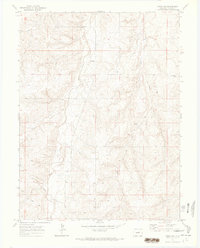
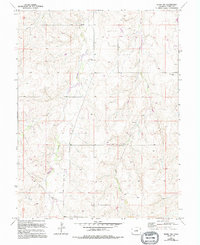
1970 Map of Kiowa NW
USGS Topo · Published 1973About this map
Kiowa Creek and Wolf Creek define the drainage of this high plains landscape north of the town of Kiowa. The 1970 field check documents a rural environment in Elbert County where land use is split between traditional agricultural features and emerging energy infrastructure. Evidence of early settlement is anchored by the Ebenezer Cem, located near the northern reaches of Kiowa Creek. Traces of mid-century industrial activity are visible throughout the quadrangle, including a Pipeline cutting across the southwestern sections and scattered Oil Well sites. Other geographic markers like Dry Creek, natural Springs, and a local Sandpit reflect a terrain where water management and resource extraction were central to the local economy.
Find a feature on this map
12 named features on this map. Tap any name to fly to it.
Don’t see what you’re looking for? This feature index may not catch every label — zoom into the map to look around manually.
Map Details
Editions of this 1970 Kiowa NW Map
5 editions found
Other maps of this area

1890 · East Denver
USGS Topo · 1:125,000

1894 · Castle Rock
USGS Topo · 1:125,000

1913 · Castle Rock
USGS Topo · 1:125,000

1939 · Elizabeth
USGS Topo · 1:62,500

1945 · Elizabeth
USGS Topo · 1:62,500

1953 · Denver
USGS Topo · 1:250,000

1955 · Watkins SE
USGS Topo · 1:24,000

1957 · Denver
USGS Topo · 1:250,000

1958 · Denver
USGS Topo · 1:250,000

1960 · Denver
USGS Topo · 1:250,000