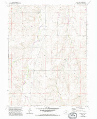
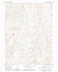
1970 Map of Kiowa NW
USGS Topo · Published 1994About this map
Kiowa Creek and its tributaries, Dry Creek and Wolf Creek, define the drainage patterns of this Elbert County landscape during the late twentieth century. The map reveals a transition in rural land use, where traditional ranching infrastructure like a Corral and established sites such as Ebenezer Cem exist alongside modern developments. These newer layers, including an extensive Pipeline, a remote Landing Strip, and several Oil Wells, suggest the increasing importance of energy and infrastructure in the High Plains. The small settlement of Whitehead and a local Fire Station serve as focal points for the dispersed community, while County Road 154 provides a primary link through the terrain. This survey, updated with revisions from 1988, illustrates how the eastern Colorado plains maintained their open character while integrating industrial and aviation features into the existing agricultural fabric.
Find a feature on this map
12 named features on this map. Tap any name to fly to it.
Don’t see what you’re looking for? This feature index may not catch every label — zoom into the map to look around manually.
Map Details
Editions of this 1970 Kiowa NW Map
5 editions found
Other maps of this area

1890 · East Denver
USGS Topo · 1:125,000

1894 · Castle Rock
USGS Topo · 1:125,000

1913 · Castle Rock
USGS Topo · 1:125,000

1939 · Elizabeth
USGS Topo · 1:62,500

1945 · Elizabeth
USGS Topo · 1:62,500

1953 · Denver
USGS Topo · 1:250,000

1955 · Watkins SE
USGS Topo · 1:24,000

1957 · Denver
USGS Topo · 1:250,000

1958 · Denver
USGS Topo · 1:250,000

1960 · Denver
USGS Topo · 1:250,000