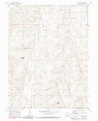
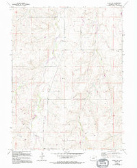
1970 Map of Kiowa NW
USGS Topo · Published 1985About this map
Kiowa Creek and Wolf Creek carve through the high plains landscape of Elbert County in this detailed 1970s topographic study. The map illustrates a rural environment defined by drainage patterns and early energy infrastructure, featuring a prominent Pipeline crossing the southern terrain and scattered Oil Wells. Local genealogy and land history are anchored by the Ebenezer Cem located central to the creek basin and the settlement of Whitehead to the east.
Find a feature on this map
9 named features on this map. Tap any name to fly to it.
Don’t see what you’re looking for? This feature index may not catch every label — zoom into the map to look around manually.
Map Details
Editions of this 1970 Kiowa NW Map
5 editions found
Other maps of this area

1890 · East Denver
USGS Topo · 1:125,000

1894 · Castle Rock
USGS Topo · 1:125,000

1913 · Castle Rock
USGS Topo · 1:125,000

1939 · Elizabeth
USGS Topo · 1:62,500

1945 · Elizabeth
USGS Topo · 1:62,500

1953 · Denver
USGS Topo · 1:250,000

1955 · Watkins SE
USGS Topo · 1:24,000

1957 · Denver
USGS Topo · 1:250,000

1958 · Denver
USGS Topo · 1:250,000

1960 · Denver
USGS Topo · 1:250,000