2000s (21st Century) Maps of Elbert County, Colorado
Explore 240 historic maps of Elbert County from the 2000s (21st Century). These maps offer a rare glimpse into what life looked like during the 2000s — showing old roads, neighborhoods, homes, and landmarks that have changed or disappeared over time.
Whether you're researching your family's past, planning a metal detecting trip, or studying how Elbert County's landscape evolved across the 2000s, these high-resolution maps are a powerful tool for exploring the history of this region.
- Focus on a specific era: All maps on this page are from the 2000s, giving you a focused view of this time period.
- See what’s changed: Compare century-old streets, trails, and buildings to today's modern landscape using overlays and satellite layers.
- Research with precision: Use these maps for genealogy, historical research, land use analysis, or educational projects.
- View, download, or print: Maps are fully viewable online in high resolution, and can be downloaded or printed for your own records.
Start exploring Elbert County's history through authentic maps from the 2000s. This is your window into the past.
Elbert County, CO maps
(240)- 2010 Map of T Draw, 2010 Print
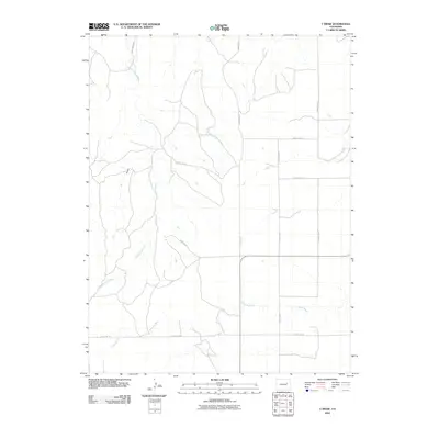 2010 T Draw2010 Print · USGSCovers Elbert County, including Lincoln County, United States, and other nearby areas
 - 2010 Map of Agate, 2010 Print
 2010 Agate2010 Print · USGSCovers Elbert County, including Agate, United States, and other nearby areas
 - 2010 Map of Barking Dog Spring, 2010 Print
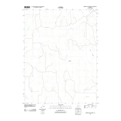 2010 Barking Dog Spring2010 Print · USGSCovers Elbert County, including United States, Colorado, and other nearby areas
 - 2010 Map of River Bend, 2010 Print
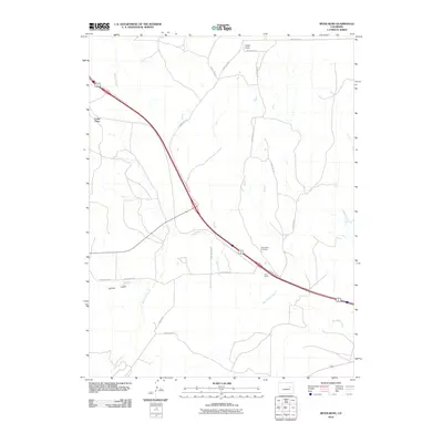 2010 River Bend2010 Print · USGSCovers Elbert County, including Cedar Point, United States, and other nearby areas
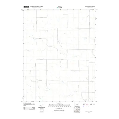
 - 2010 Map of Matheson SE, 2010 Print
 2010 Matheson SE2010 Print · USGSCovers Elbert County, including United States, Colorado, and other nearby areas
 - 2010 Map of Beuck Draw, 2010 Print
 2010 Beuck Draw2010 Print · USGSCovers Elbert County, including United States, Colorado, and other nearby areas
 - 2010 Map of Last Chance SW, 2010 Print
 2010 Last Chance SW2010 Print · USGSCovers Elbert County, including Arapahoe County, Lincoln County, and other nearby areas
 - 2010 Map of Noonen Reservoir SW, 2010 Print
 2010 Noonen Reservoir SW2010 Print · USGSCovers Elbert County, including Arapahoe County, United States, and other nearby areas
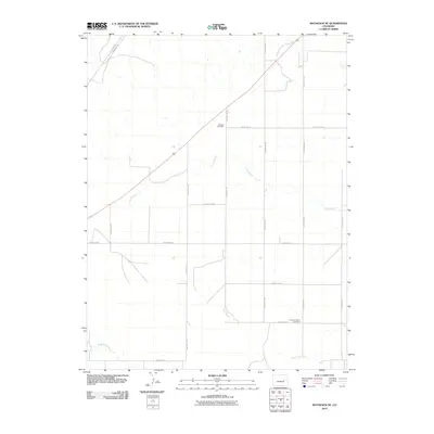
 - 2010 Map of Matheson SW, 2010 Print
 2010 Matheson SW2010 Print · USGSCovers Elbert County, including United States, Colorado, and other nearby areas
 - 2010 Map of Matheson NE, 2010 Print
 2010 Matheson NE2010 Print · USGSCovers Elbert County, including United States, Colorado, and other nearby areas
 - 2010 Map of Long Creek, 2010 Print
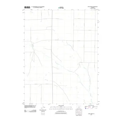 2010 Long Creek2010 Print · USGSCovers Elbert County, including Lincoln County, United States, and other nearby areas
 - 2010 Map of Cottonwood Valley South, 2010 Print
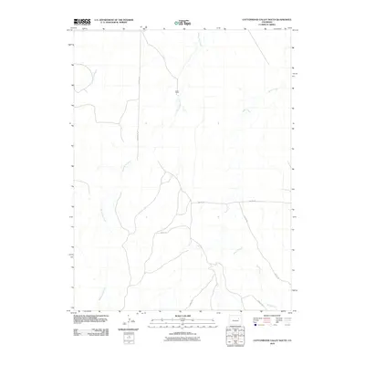 2010 Cottonwood Valley South2010 Print · USGSCovers Elbert County, including Arapahoe County, United States, and other nearby areas
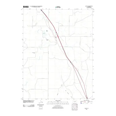
 - 2010 Map of Lake, 2010 Print
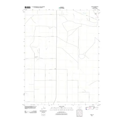 2010 Lake2010 Print · USGSCovers Elbert County, including Lincoln County, United States, and other nearby areas
 - 2010 Map of Matheson, 2010 Print
 2010 Matheson2010 Print · USGSCovers Elbert County, including Matheson, United States, and other nearby areas
 - 2010 Map of Rush, 2010 Print
 2010 Rush2010 Print · USGSCovers Elbert County, including Rush, El Paso County, and other nearby areas
 - 2010 Map of Fondis, 2010 Print
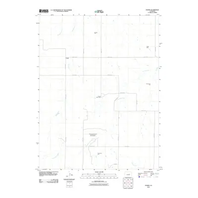 2010 Fondis2010 Print · USGSCovers Elbert County, including Fondis, El Paso County, and other nearby areas
 - 2010 Map of Strasburg SW, 2010 Print
 2010 Strasburg SW2010 Print · USGSCovers Elbert County, including Arapahoe County, United States, and other nearby areas
 - 2010 Map of Ponderosa Park, 2010 Print
 2010 Ponderosa Park2010 Print · USGSCovers Elbert County, including Parker, Parker Highlands, and other nearby areas
 - 2010 Map of Kiowa NW, 2010 Print
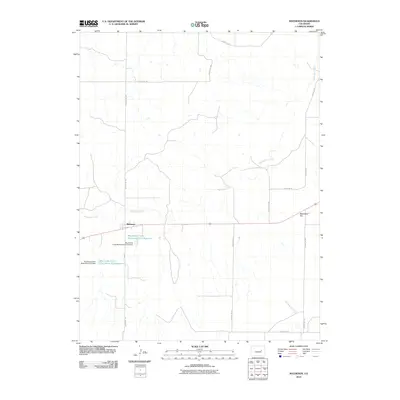
 2010 Kiowa NW2010 Print · USGSCovers Elbert County, including United States, Colorado, and other nearby areas
 - 2010 Map of Cabin Gulch, 2010 Print
 2010 Cabin Gulch2010 Print · USGSCovers Elbert County, including United States, Colorado, and other nearby areas
 - 2010 Map of Bijou, 2010 Print
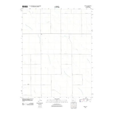
 2010 Bijou2010 Print · USGSCovers Elbert County, including Bijou, United States, and other nearby areas
 - 2010 Map of Simla, 2010 Print
 2010 Simla2010 Print · USGSCovers Elbert County, including Simla, El Paso County, and other nearby areas
 - 2010 Map of Kuhns Crossing, 2010 Print
 2010 Kuhns Crossing2010 Print · USGSCovers Elbert County, including United States, Colorado, and other nearby areas
 - 2010 Map of Byers SW, 2010 Print
 2010 Byers SW2010 Print · USGSCovers Elbert County, including Arapahoe County, United States, and other nearby areas
 - 2010 Map of Big Gulch, 2010 Print
 2010 Big Gulch2010 Print · USGSCovers Elbert County, including United States, Colorado, and other nearby areas
Showing maps 1-25 of 240
Top cities of Elbert County
Frequently asked questions
- What are the different types of historical maps available for Elbert County?
- What is the oldest map of Elbert County?
- Where can I purchase historical maps of Elbert County for my home or office?
- Where can I download high-res historical maps of Elbert County?
- Are there historical topographic maps available for Elbert County?
- Is there historical aerial imagery available for Elbert County?
- Where are historical maps of Elbert County sourced from?