2020s Maps of Fremont County, Colorado
Explore 37 historic maps of Fremont County from the 2020s. These maps offer a rare glimpse into what life looked like during the 2020s — showing old roads, neighborhoods, homes, and landmarks that have changed or disappeared over time.
Whether you're researching your family's past, planning a metal detecting trip, or studying how Fremont County's landscape evolved across the 2020s, these high-resolution maps are a powerful tool for exploring the history of this region.
- Focus on a specific era: All maps on this page are from the 2020s, giving you a focused view of this time period.
- See what’s changed: Compare century-old streets, trails, and buildings to today's modern landscape using overlays and satellite layers.
- Research with precision: Use these maps for genealogy, historical research, land use analysis, or educational projects.
- View, download, or print: Maps are fully viewable online in high resolution, and can be downloaded or printed for your own records.
Start exploring Fremont County's history through authentic maps from the 2020s. This is your window into the past.
Fremont County, CO maps
(37)- 2022 Map of Pierce Gulch, 2022 Print
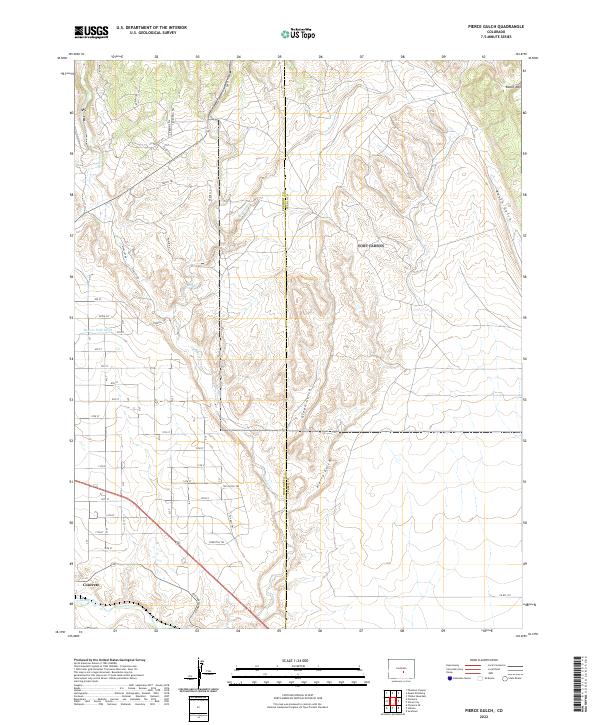 2022 Pierce Gulch2022 Print · USGSFremont County settlement and drainage patterns appear in detail in this modern survey of the high desert and river valley. Genealogists and historians can trace the road network around Concrete or locate water features like Beaver Park Ditch and Pierce Gulch.
 - 2022 Map of Hobson, 2022 Print
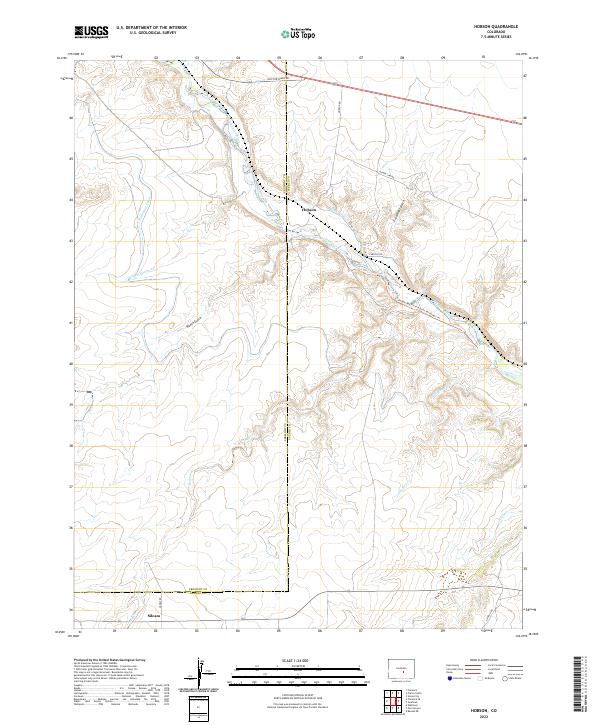 2022 Hobson2022 Print · USGSThe Arkansas River valley at the Fremont and Pueblo county line remains a landscape defined by water and wide-open spaces in the early twenty-first century. Researchers can trace the paths of irrigation infrastructure like the Minnequa Canal and Hobson Ditch near the historic settlements of Hobson and Siloam.
 - 2022 Map of Mount Pittsburg, 2022 Print
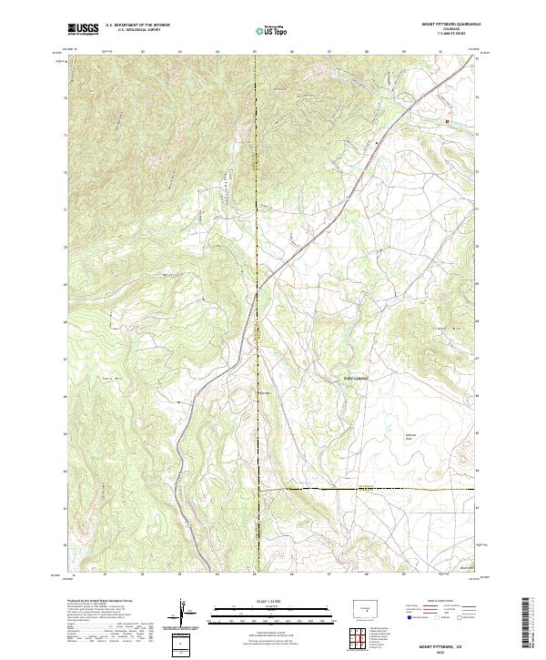 2022 Mount Pittsburg2022 Print · USGSThe high canyons and mountain peaks of the Colorado Front Range appear in striking detail on this modern survey where three counties meet. Researchers can trace land access and topographical shifts across Red Creek Canyon, Table Mtn, and the slopes of Mt Pittsburg.
 - 2022 Map of Mount Big Chief, 2022 Print
 2022 Mount Big Chief2022 Print · USGSEl Paso County and the surrounding peaks are captured here in the early twenty-first century as part of the Pike National Forest. Trace mountain trails and old highland sites like Rosemont, Duffield, and the distinctive Saint Peters Dome.
 - 2022 Map of McIntyre Hills, 2022 Print
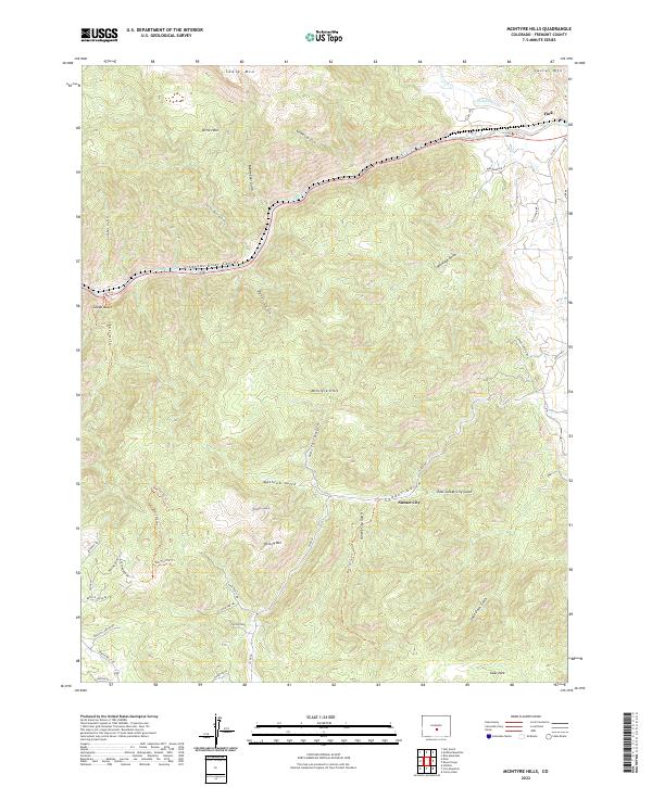 2022 McIntyre Hills2022 Print · USGSThe Fremont County high country comes into focus in this recent survey of the deep canyonlands and mountain peaks. Researchers can trace the legacy of mountain prospecting through local names like Sunset City, Gold Pan Trl, and Mine Shaft Rd.
 - 2022 Map of High Park, 2022 Print
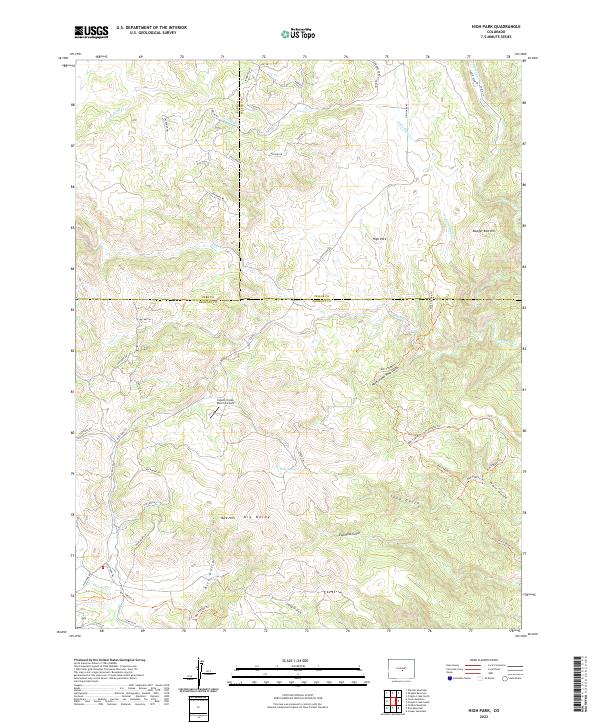 2022 High Park2022 Print · USGSThe tri-county meeting point of Park, Teller, and Fremont counties comes alive in this 2022 survey of High Park. Local historians can trace the network of BLM trails and named terrain features like Booger Red Hill, Big Baldy, and the Coyote Creek Ranch Airport.
 - 2022 Map of Rice Mountain, 2022 Print
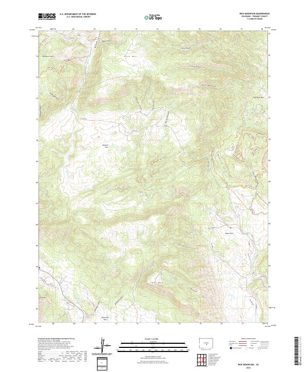 2022 Rice Mountain2022 Print · USGSFremont County's high ridges and gulches are documented in this late-period survey of the area north of the Royal Gorge. Researchers can trace land use patterns across Webster Park and Eightmile Park or locate water sources like Red Rocks Spring.
 - 2022 Map of Howard, 2022 Print
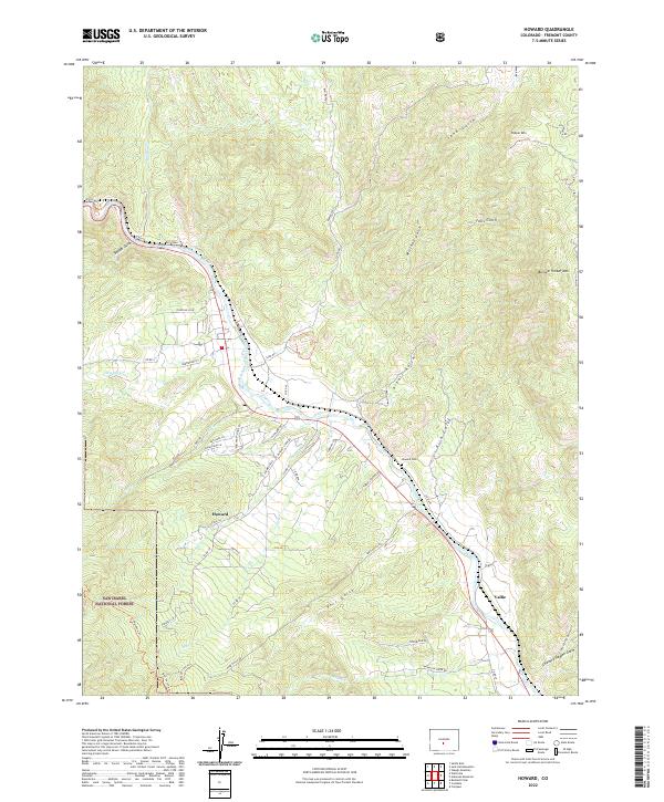 2022 Howard2022 Print · USGSThe Arkansas River valley in Fremont County comes into focus in this detailed survey of mountain life and terrain. Researchers can locate the Howard Cem near the town of Howard or trace the Rainbow Trl as it skirts the San Isabel National Forest.
 - 2022 Map of Big Bull Mountain, 2022 Print
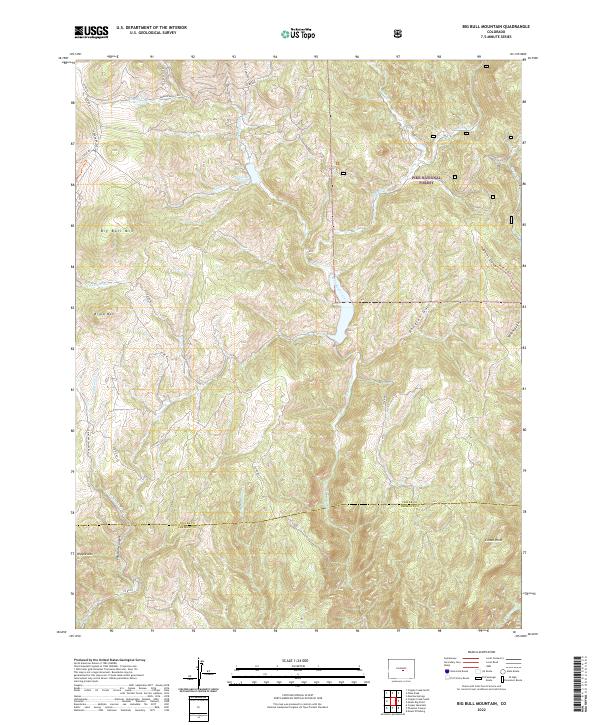 2022 Big Bull Mountain2022 Print · USGSTeller County’s high country is captured here during the early twenty-first century, showing the intersection of the Pike National Forest and the Fremont County line. Researchers can trace the winding route of Gold Camp Rd and locate landmarks like Big Bull Mtn and Pringtime Reservoir.
 - 2022 Map of Coaldale, 2022 Print
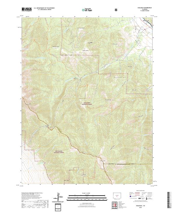 2022 Coaldale2022 Print · USGSThe high Sangre de Cristo slopes near the Fremont and Saguache county lines appear in sharp detail during the early 2020s. Trace the paths to Hayden Pass, locate the high Bushnell Lakes, and identify named peaks like Nipple Mtn and Hamilton Baldy.
 - 2022 Map of Cover Mountain, 2022 Print
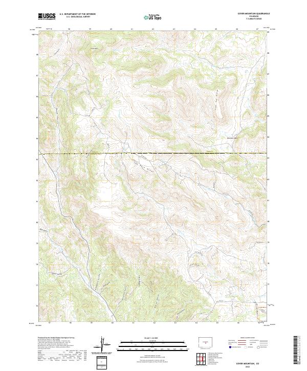 2022 Cover Mountain2022 Print · USGSThe high ridges of Park and Fremont counties are shown in this recent topographic study of the central Colorado highlands. Researchers can trace the drainage patterns of Horsethief Gulch and Asher Gulch or locate landmarks like Cover Mtn.
 - 2022 Map of Florence SE, 2022 Print
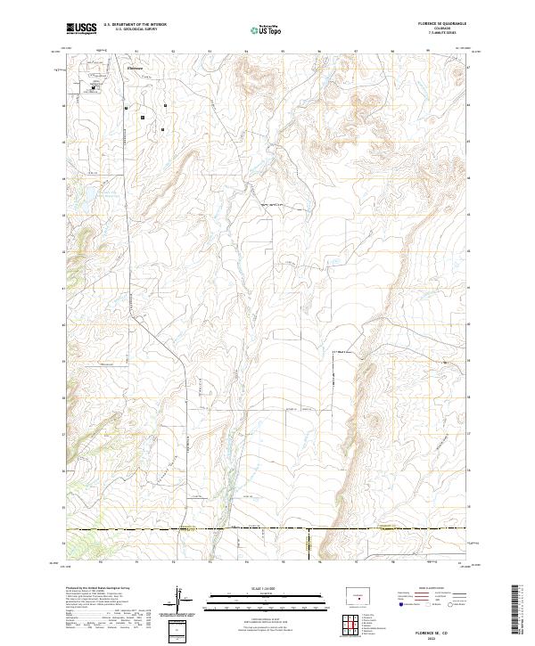 2022 Florence SE2022 Print · USGSFlorence and the high plains of Fremont County are captured in this 2022 survey, showcasing the area's vital water infrastructure. Trace the routes of the Minnequa Canal, locate the Union Highland Cem, or follow the course of Hardscrabble Cr through the southern gulches.
 - 2022 Map of Cameron Mountain, 2022 Print
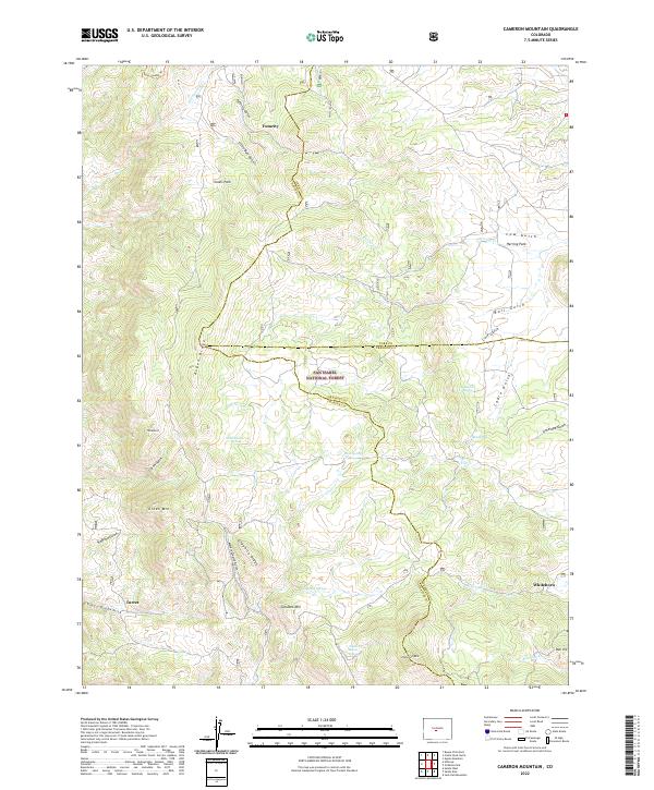 2022 Cameron Mountain2022 Print · USGSModern Colorado mountain history comes alive at the triple junction of Chaffee, Park, and Fremont counties. Trace the high-altitude mining legacies of Turret, Whitehorn, and The Mascot while exploring landmarks like Graphite Ridge and Calumet Mtn.
 - 2022 Map of Bushnell Peak, 2022 Print
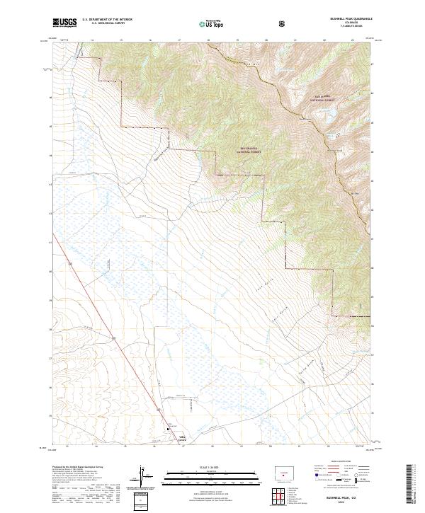 2022 Bushnell Peak2022 Print · USGSVilla Grove and the northern San Luis Valley are captured here in the early twenty-first century as they meet the Sangre de Cristo foothills. Trace local history at Villa Grove Cem or follow high-altitude routes like Stout Creek Lakes Trl toward Bushnell Peak.
 - 2022 Map of Waugh Mountain, 2022 Print
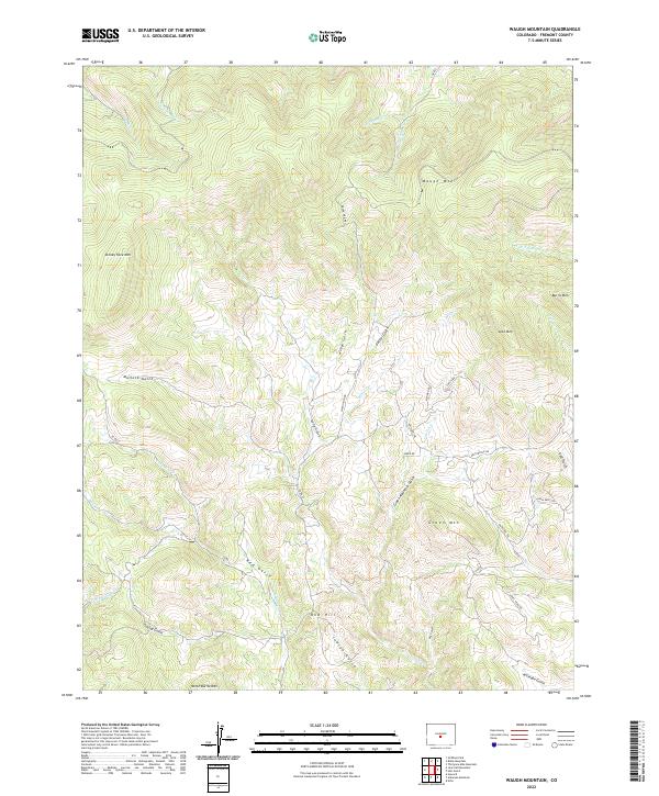 2022 Waugh Mountain2022 Print · USGSHigh peaks and complex drainage systems define this section of Fremont County in the early twenty-first century. Genealogists and hikers can trace the geography of landmarks like Stoney Face Mtn, Gribbles Run, and the remote Mullock Gulch through the high country.
 - 2022 Map of Gribble Mountain, 2022 Print
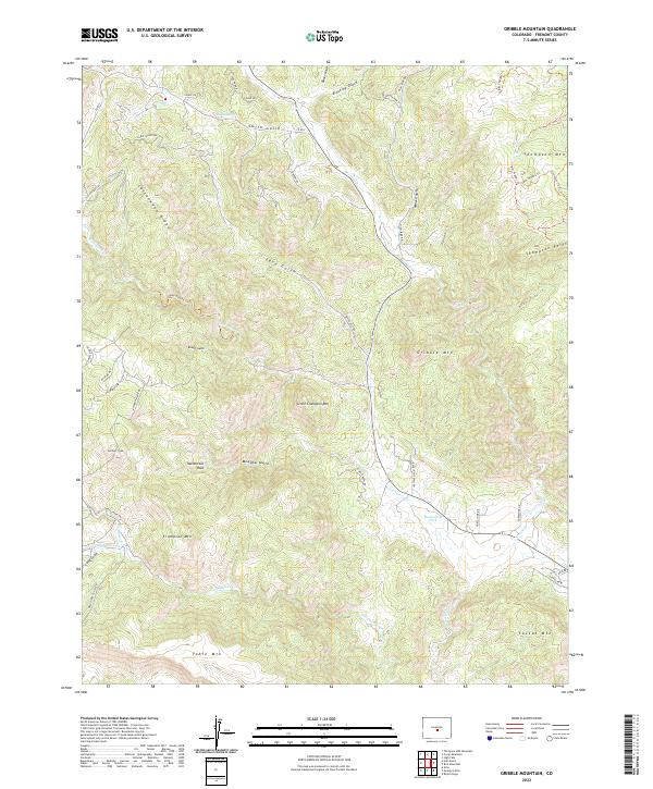 2022 Gribble Mountain2022 Print · USGSFremont County's high ridges and ranch lands are documented in this recent survey, showcasing the area's complex drainage systems. Genealogists and hikers can trace historic routes like Preachers Gulch Rd and find landmarks such as Twelvemile Hole and Gribble Mtn.
 - 2022 Map of Black Mountain, 2022 Print
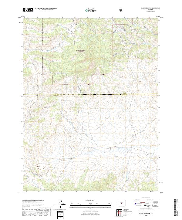 2022 Black Mountain2022 Print · USGSCentral Colorado high-country near the Park and Fremont county line shows its modern landscape of national forest and open parkland. Researchers can trace land boundaries and water sources like Black Mtn, Poncha Park, and Thirtyone Mile Cr.
 - 2022 Map of Cooper Mountain, 2022 Print
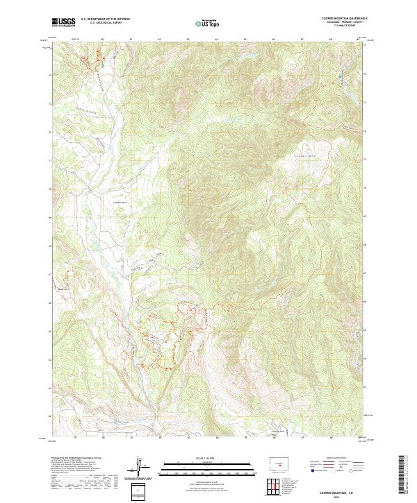 2022 Cooper Mountain2022 Print · USGSFremont County, Colorado, is defined here by its complex geology and deep canyon systems in the modern era. Researchers can trace the winding route through Phantom Canyon or explore the rugged trail networks around Garden Park and Cooper Mtn.
 - 2022 Map of Canon City, 2022 Print
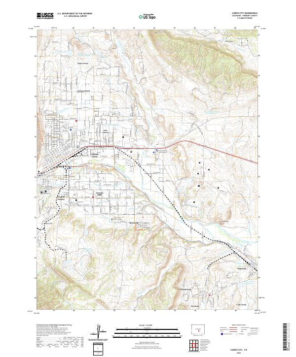 2022 Canon City2022 Print · USGSThe Arkansas River valley near Cañon City appears in recent detail as a landscape of irrigation canals and historic mining towns. Researchers can trace local lineage through the Independent Order of Odd Fellows Cem or explore the water network of the Minnequa Canal and De Weese Dye Ditch.
 - 2022 Map of Gribbles Park, 2022 Print
 2022 Gribbles Park2022 Print · USGSThe high-country border of Fremont and Park Counties is revealed in the early 2020s through its network of mountain parks and springs. Local historians can trace the Ute Trl or locate landmarks like Suckerville Spring and Gribbles Park.
 - 2022 Map of Jack Hall Mountain, 2022 Print
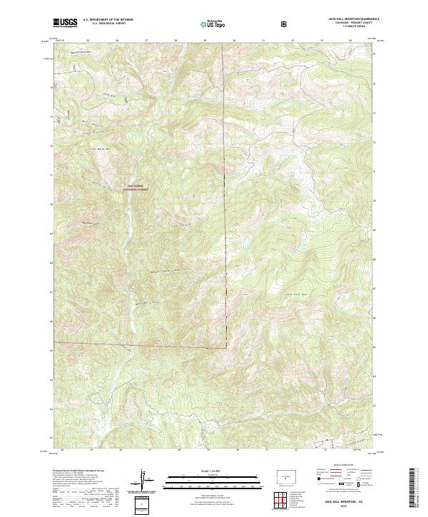 2022 Jack Hall Mountain2022 Print · USGSFremont County’s high mountain terrain is captured here in the early twenty-first century, showing the complex gulches and peaks of the San Isabel National Forest. Researchers can trace old routes and water sources from Banning Cabin Gulch to the slopes of Jack Hall Mtn.
 - 2022 Map of Arkansas Mountain, 2022 Print
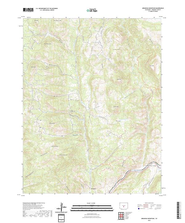 2022 Arkansas Mountain2022 Print · USGSThe high country of Fremont County unfolds here in the early twenty-first century, centered on the settlement of Cotopaxi and the Arkansas River. Genealogists and hikers can trace old drainage names and trails like Chauncy Hayden Gulch, Mine Gulch, and the Lone Pine Trl.
 - 2022 Map of Rockvale, 2022 Print
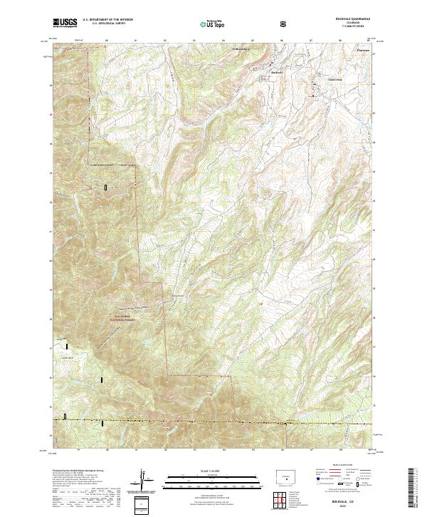 2022 Rockvale2022 Print · USGSThe mining towns of the Arkansas River valley are shown here as they transitioned into the modern era. Genealogists and researchers can trace the roads and drainages connecting Williamsburg, Rockvale, and Coal Creek to the landmarks of Locke Park.
 - 2022 Map of Phantom Canyon, 2022 Print
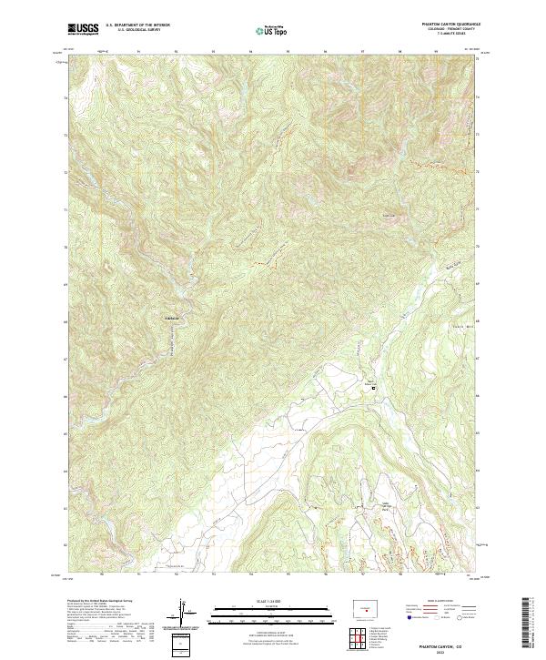 2022 Phantom Canyon2022 Print · USGSThe Fremont County highlands are captured here in the early 2020s, showing a rugged terrain of canyons and gulches. Researchers can locate Adelaide, the Upper Beaver Cem, and the twisting path of Phantom Canyon.
 - 2022 Map of Poncha Pass, 2022 Print
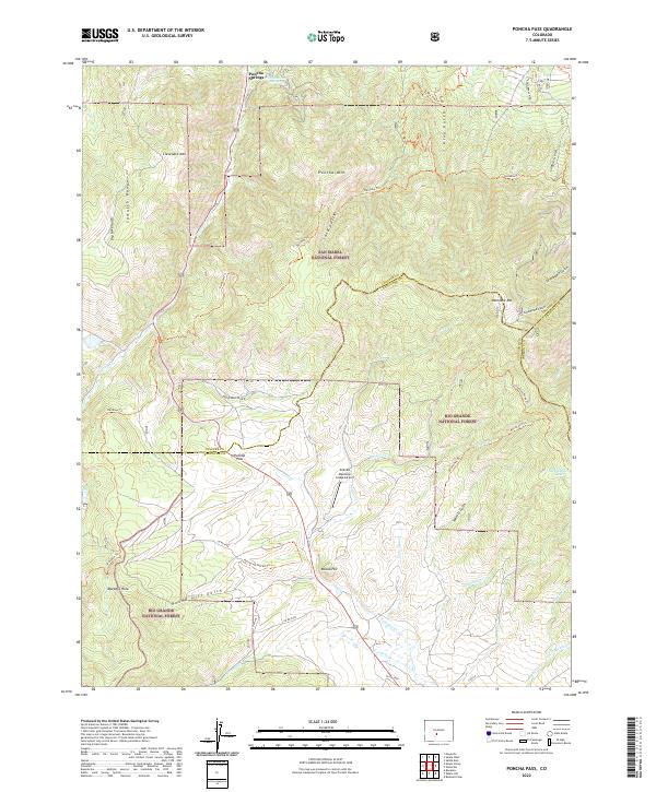 2022 Poncha Pass2022 Print · USGSHigh in the Rockies during the early 2020s, this area centers on the vital crossing at Poncha Pass. Researchers can trace old timber and recreation routes like Rainbow Trl or locate the thermal waters of Poncha Hot Springs.
Showing maps 1-25 of 37
Top cities of Fremont County
- Cañon City historical maps
- Lincoln Park historical maps
- Florence historical maps
- Penrose historical maps
- Howard historical maps
- Williamsburg historical maps
See more
Frequently asked questions
- What are the different types of historical maps available for Fremont County?
- What is the oldest map of Fremont County?
- Where can I purchase historical maps of Fremont County for my home or office?
- Where can I download high-res historical maps of Fremont County?
- Are there historical topographic maps available for Fremont County?
- Is there historical aerial imagery available for Fremont County?
- Where are historical maps of Fremont County sourced from?