2020s Maps of La Plata County, Colorado
Explore 47 historic maps of La Plata County from the 2020s. These maps offer a rare glimpse into what life looked like during the 2020s — showing old roads, neighborhoods, homes, and landmarks that have changed or disappeared over time.
Whether you're researching your family's past, planning a metal detecting trip, or studying how La Plata County's landscape evolved across the 2020s, these high-resolution maps are a powerful tool for exploring the history of this region.
- Focus on a specific era: All maps on this page are from the 2020s, giving you a focused view of this time period.
- See what’s changed: Compare century-old streets, trails, and buildings to today's modern landscape using overlays and satellite layers.
- Research with precision: Use these maps for genealogy, historical research, land use analysis, or educational projects.
- View, download, or print: Maps are fully viewable online in high resolution, and can be downloaded or printed for your own records.
Start exploring La Plata County's history through authentic maps from the 2020s. This is your window into the past.
La Plata County, CO maps
(47)- 2020 Map of La Plata, 2020 Print
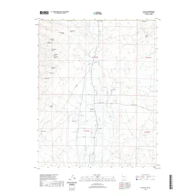 2020 La Plata2020 Print · USGSCovers La Plata County, including La Plata, San Juan County, and other nearby areas
 - 2020 Map of Purgatory Canyon, 2020 Print
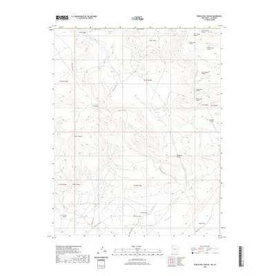 2020 Purgatory Canyon2020 Print · USGSCovers La Plata County, including San Juan County, United States, and other nearby areas
 - 2020 Map of Heifer Point, 2020 Print
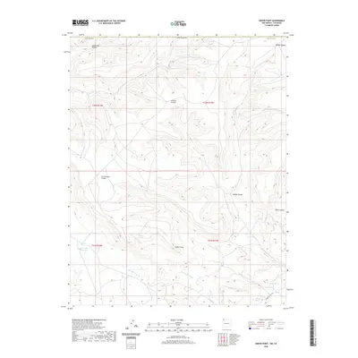 2020 Heifer Point2020 Print · USGSCovers La Plata County, including San Juan County, Montezuma County, and other nearby areas
 - 2022 Map of Kline, 2022 Print
 2022 Kline2022 Print · USGSLa Plata County ranching country is shown here in the early 2020s, defined by the deep incisions of Long Hollow and Fortyfour Canyon. Researchers can trace local lineage near Marvel Cem or explore the settlements of Breen and Kline.
 - 2022 Map of Loma Linda, 2022 Print
 2022 Loma Linda2022 Print · USGSSoutheast of Durango in the early 2020s, this area shows the high-mesa developments and essential water networks of La Plata County. Trace the irrigation history of Florida Mesa through the Florida Farmers Ditch and find local landmarks like Animas Air Park.
 - 2022 Map of Hermosa, 2022 Print
 2022 Hermosa2022 Print · USGSThe Animas River valley north of Durango is documented here during the early twenty-first century, showing the established settlements and thermal waters of La Plata County. Researchers can trace the layout of Hermosa, locate the Hermosa Cem, and identify geothermal sites like Pinkerton Hot Springs.
 - 2022 Map of Rules Hill, 2022 Print
 2022 Rules Hill2022 Print · USGSLa Plata County's high country and forest boundaries are documented in this 2022 survey of the Colorado landscape. Researchers can locate the Shreck Cem near the Florida River or trace old routes like Vosburg Pike and Red Creek Trl.
 - 2022 Map of Elk Creek, 2022 Print
 2022 Elk Creek2022 Print · USGSThe high backcountry of the San Juan Mountains is captured here in the early 2020s, revealing a landscape defined by the Continental Divide and deep creek drainages. Trace the historic paths of the Hermosa Creek Trl and Corral Draw Trl through Blind Canyon and the meadows of Hermosa Park.
 - 2022 Map of Monument Hill, 2022 Print
 2022 Monument Hill2022 Print · USGSThe La Plata Mountains and San Juan National Forest are shown in the 2020s, revealing a landscape defined by high-altitude mineral exploration. Researchers can trace historic mining operations at the Neglected Mine and Oro Fino or explore local landmarks like Cemetery Flats and Wild Oat Mesa.
 - 2022 Map of Bondad Hill, 2022 Print
 2022 Bondad Hill2022 Print · USGSLa Plata County's river valleys and mesa land appear here in the contemporary era. Trace the path of the Animas River and Florida River near the settlement of Bondad, or explore the irrigation networks of Twin Rock Ditch and Ralston Ditch on the mesa.
 - 2022 Map of Engineer Mountain, 2022 Print
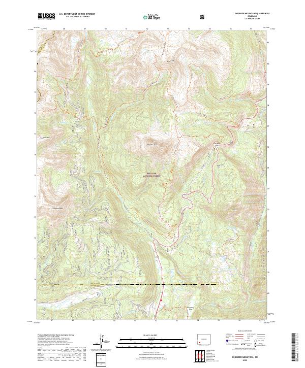 2022 Engineer Mountain2022 Print · USGSThe high alpine terrain of the San Juan Mountains is captured here just after the turn of the twenty-first century. Researchers can trace the path of the Rico-Silverton - Co Trail Trl past landmarks like Engineer Mtn and Coal Bank Pass.
 - 2022 Map of Mormon Reservoir, 2022 Print
 2022 Mormon Reservoir2022 Print · USGSThe high mesa country of La Plata County comes into focus in the early twenty-first century, showing a landscape defined by deep canyons and ranching life. Genealogists can locate the Hay Gulch Cem and Kline Cem, or trace family routes along Land Grant Ln and Red Mesa.
 - 2022 Map of Redmesa, 2022 Print
 2022 Redmesa2022 Print · USGSThe high plateau of La Plata County comes into focus in the early 2020s, showing the intersection of ranching life and river geography. Genealogists and historians can trace the local road networks surrounding Redmesa and Marvel or locate features like South Cinder Butte.
 - 2022 Map of Emerald Lake, 2022 Print
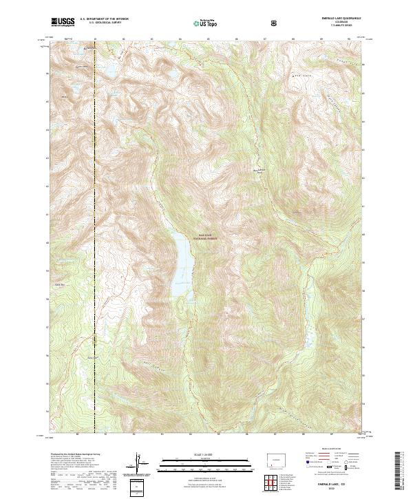 2022 Emerald Lake2022 Print · USGSHigh in the San Juan Mountains during the early twenty-first century, this map documents a landscape of alpine lakes and remote forest trails. Researchers can trace the path of the Pine River Trl past Emerald Lake or locate high-country landmarks like Buffalo Peak and Mesa Lato.
 - 2022 Map of Trail Canyon, 2022 Print
 2022 Trail Canyon2022 Print · USGSMontezuma and La Plata counties meet among the high mesas and deep canyons of southwest Colorado in the early twenty-first century. Researchers can trace the rugged boundaries of Mesa Verde National Park and find local landmarks like Upper Reservoir, Lewis Mesa, and Menefee Mountain.
 - 2022 Map of Hesperus, 2022 Print
 2022 Hesperus2022 Print · USGSThe high country of La Plata County comes into focus here, showing the intersection of mountain terrain and early water systems. Genealogists and historians can locate Hesperus Cem and trace the paths of the Navajo Trl or the old Railroad Grade.
 - 2022 Map of Gem Village, 2022 Print
 2022 Gem Village2022 Print · USGSLa Plata County in the modern era remains a landscape defined by its intricate irrigation networks and high-plateau settlements. Researchers can trace the path of the Morrison Consolidated Ditch near Oxford or locate landmarks like the Durango-La Plata County Airport.
 - 2022 Map of Snowdon Peak, 2022 Print
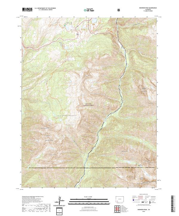 2022 Snowdon Peak2022 Print · USGSThe Animas River corridor and the San Juan National Forest are captured in this recent survey of Colorado's high backcountry. Researchers can trace the topography of the Grenadier Range and West Needle Mountains, or locate remote points like Needleton and Molas Pass.
 - 2022 Map of Orphan Butte, 2022 Print
 2022 Orphan Butte2022 Print · USGSMontezuma and La Plata counties are shown in this recent survey of high-country drainage and forest trails. Researchers can trace historic access routes like the Indian Trail and School House Trl or locate mountain landmarks such as Orphan Butte.
 - 2022 Map of Hermosa Peak, 2022 Print
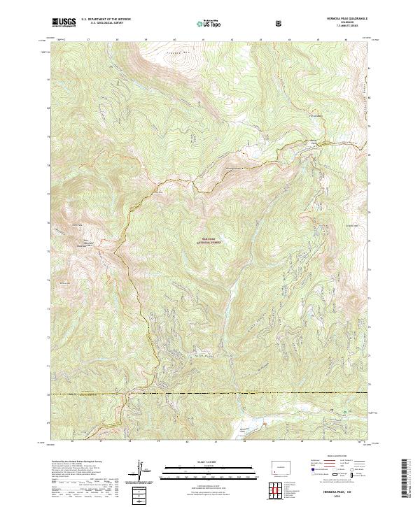 2022 Hermosa Peak2022 Print · USGSHigh alpine summits and historic transit routes dominate this corner of the San Juan Mountains in the early twenty-first century. Researchers can trace the paths of the Rico-Silverton-Co.trail Trl and Hermosa Creek Trl as they navigate landmark peaks like Hermosa Peak.
 - 2022 Map of Columbine Pass, 2022 Print
 2022 Columbine Pass2022 Print · USGSLa Plata County's high alpine terrain is documented here in the early twenty-first century, showing the protected wilderness of the San Juan National Forest. Trace the remote trails through Chicago Basin and find high-altitude landmarks like Columbine Pass and Durango Reservoir Number 1.
 - 2022 Map of Bayfield, 2022 Print
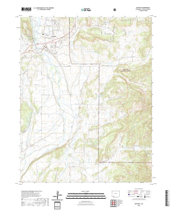 2022 Bayfield2022 Print · USGSThe town of Bayfield and the Los Pinos River valley are captured in this modern survey of La Plata County's transition from valley ranching to national forest. Researchers can trace land use through local water works like the Pine River Canal and find family-named landmarks such as Shellhammer Ridge and Dunham Gap.
 - 2022 Map of Durango West, 2022 Print
 2022 Durango West2022 Print · USGSThe western outskirts of Durango meet the high country in the early twenty-first century, showing the town's growth into the canyonlands. Genealogists and researchers can trace local landmarks like Greenmount Cem or the La Plata County Courthouse.
 - 2022 Map of Pinkerton Mesa, 2022 Print
 2022 Pinkerton Mesa2022 Print · USGSLa Plata County during the early twenty-first century reveals a rugged expanse of mesas and seasonal arroyos. Genealogists and historians can trace family-named landmarks like Orrie Walker Flat, Clyde Walker Canyon, and the prominent Pinkerton Mesa.
 - 2022 Map of Allison, 2022 Print
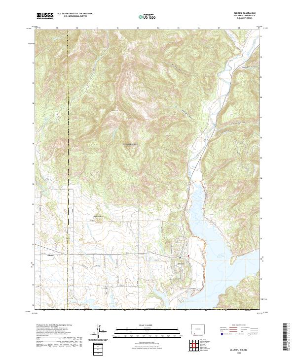 2022 Allison2022 Print · USGSThe Colorado-New Mexico borderlands near Arboles are defined by the convergence of the Piedra River and the sprawling Navajo Reservoir. Researchers can trace the modern layout of rural settlements and irrigation infrastructure like the Miller Ditch and Darlington Ditch.
Showing maps 1-25 of 47
Top cities of La Plata County
Frequently asked questions
- What are the different types of historical maps available for La Plata County?
- What is the oldest map of La Plata County?
- Where can I purchase historical maps of La Plata County for my home or office?
- Where can I download high-res historical maps of La Plata County?
- Are there historical topographic maps available for La Plata County?
- Is there historical aerial imagery available for La Plata County?
- Where are historical maps of La Plata County sourced from?