2000s (21st Century) Maps of La Plata County, Colorado
Explore 222 historic maps of La Plata County from the 2000s (21st Century). These maps offer a rare glimpse into what life looked like during the 2000s — showing old roads, neighborhoods, homes, and landmarks that have changed or disappeared over time.
Whether you're researching your family's past, planning a metal detecting trip, or studying how La Plata County's landscape evolved across the 2000s, these high-resolution maps are a powerful tool for exploring the history of this region.
- Focus on a specific era: All maps on this page are from the 2000s, giving you a focused view of this time period.
- See what’s changed: Compare century-old streets, trails, and buildings to today's modern landscape using overlays and satellite layers.
- Research with precision: Use these maps for genealogy, historical research, land use analysis, or educational projects.
- View, download, or print: Maps are fully viewable online in high resolution, and can be downloaded or printed for your own records.
Start exploring La Plata County's history through authentic maps from the 2000s. This is your window into the past.
La Plata County, CO maps
(222)- 2001 Map of Rio Grande Pyramid, 2005 Print
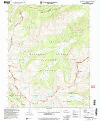 2001 Rio Grande Pyramid2005 Print · USGSHinsdale County’s high alpine wilderness is captured here at the turn of the twenty-first century, centered on the towering Rio Grande Pyramid. Researchers can trace the Continental Divide past The Window and follow the Bear Town Trail through the high basins.
 - 2001 Map of Storm King Peak, 2005 Print
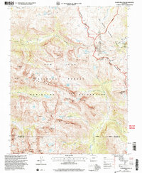 2001 Storm King Peak2005 Print · USGSThe San Juan high country comes alive in this 2001 survey, showing the wilderness at the turn of the millennium. Researchers can trace historic prospecting sites near Beartown (Site) and the challenging route over Hunchback Pass.
 - 2010 Map of Bondad Hill, 2010 Print
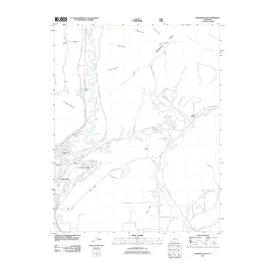
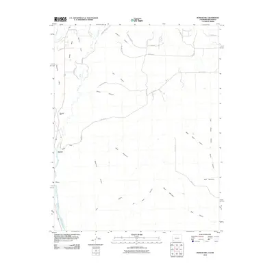 2010 Bondad Hill2010 Print · USGSCovers La Plata County, including San Juan County, United States, and other nearby areas
 - 2010 Map of Ignacio, 2010 Print
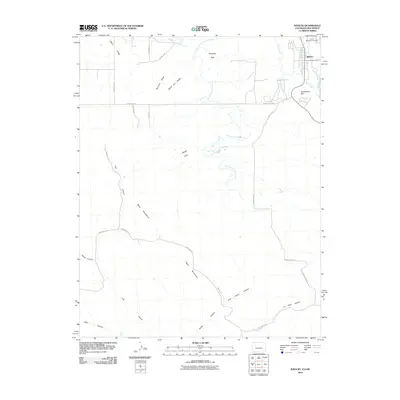 2010 Ignacio2010 Print · USGSCovers La Plata County, including Ignacio, Ignacio, and other nearby areas
 - 2010 Map of Tiffany, 2010 Print
 2010 Tiffany2010 Print · USGSCovers La Plata County, including Tiffany, La Boca, and other nearby areas
 - 2010 Map of Gem Village, 2010 Print
 2010 Gem Village2010 Print · USGSCovers La Plata County, including Ignacio, Oxford, and other nearby areas
 - 2010 Map of Long Mountain, 2010 Print
 2010 Long Mountain2010 Print · USGSCovers La Plata County, including Bondad, San Juan County, and other nearby areas
 - 2010 Map of Basin Mountain, 2010 Print
 2010 Basin Mountain2010 Print · USGSCovers La Plata County, including Durango, La Posta, and other nearby areas
 - 2010 Map of Loma Linda, 2010 Print
 2010 Loma Linda2010 Print · USGSCovers La Plata County, including Durango, Florida, and other nearby areas
 - 2010 Map of Allison, 2010 Print
 2010 Allison2010 Print · USGSCovers La Plata County, including Allison, Arboles, and other nearby areas
 - 2010 Map of Pinkerton Mesa, 2010 Print
 2010 Pinkerton Mesa2010 Print · USGSCovers La Plata County, including San Juan County, United States, and other nearby areas
 - 2010 Map of Redmesa, 2010 Print
 2010 Redmesa2010 Print · USGSCovers La Plata County, including Redmesa, Marvel, and other nearby areas
 - 2010 Map of La Plata, 2010 Print
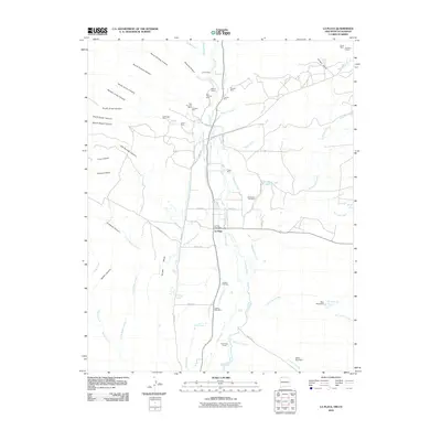 2010 La Plata2010 Print · USGSCovers La Plata County, including La Plata, San Juan County, and other nearby areas
 - 2010 Map of Kline, 2010 Print
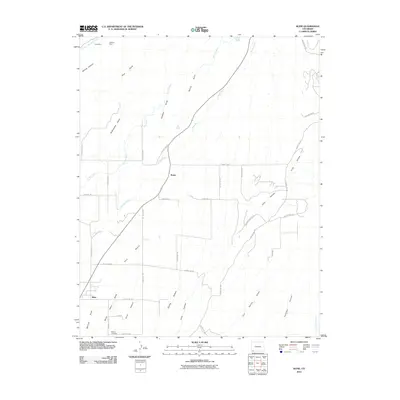 2010 Kline2010 Print · USGSCovers La Plata County, including Breen, Kline, and other nearby areas
 - 2010 Map of Greasewood Canyon, 2010 Print
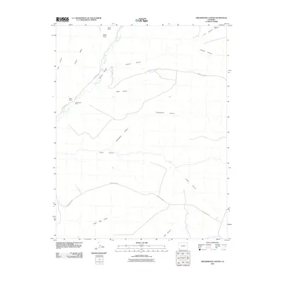 2010 Greasewood Canyon2010 Print · USGSCovers La Plata County, including Montezuma County, United States, and other nearby areas
 - 2010 Map of Purgatory Canyon, 2010 Print
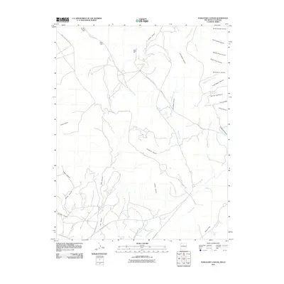 2010 Purgatory Canyon2010 Print · USGSCovers La Plata County, including San Juan County, United States, and other nearby areas
 - 2010 Map of Heifer Point, 2010 Print
 2010 Heifer Point2010 Print · USGSCovers La Plata County, including San Juan County, Montezuma County, and other nearby areas
 - 2010 Map of Trail Canyon, 2010 Print
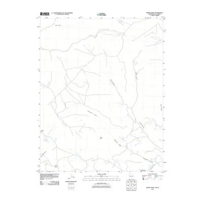
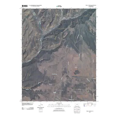 2010 Trail Canyon2010 Print · USGSCovers La Plata County, including Montezuma County, United States, and other nearby areas
 - 2010 Map of Red Horse Gulch, 2010 Print
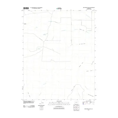 2010 Red Horse Gulch2010 Print · USGSCovers La Plata County, including San Juan County, Montezuma County, and other nearby areas
 - 2010 Map of Mormon Reservoir, 2010 Print
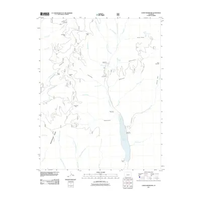
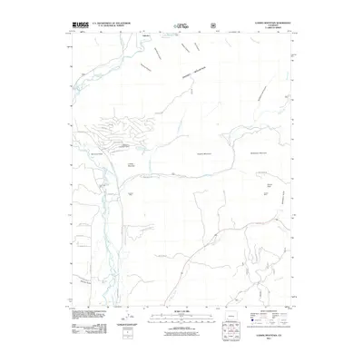
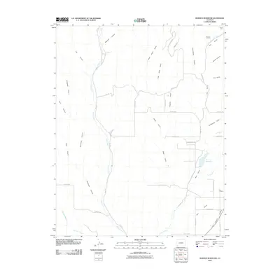 2010 Mormon Reservoir2010 Print · USGSCovers La Plata County, including Montezuma County, United States, and other nearby areas
 - 2011 Map of Lemon Reservoir, 2011 Print
 2011 Lemon Reservoir2011 Print · USGSCovers La Plata County, including United States, Colorado, and other nearby areas
 - 2011 Map of Elk Creek, 2011 Print
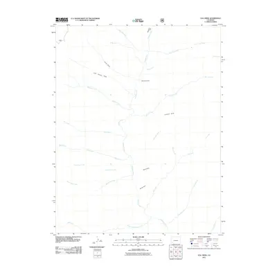 2011 Elk Creek2011 Print · USGSCovers La Plata County, including Montezuma County, United States, and other nearby areas
 - 2011 Map of Durango West, 2011 Print
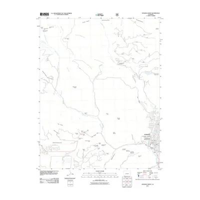 2011 Durango West2011 Print · USGSCovers La Plata County, including Durango, United States, and other nearby areas
 - 2011 Map of Ludwig Mountain, 2011 Print
 2011 Ludwig Mountain2011 Print · USGSCovers La Plata County, including Bayfield, United States, and other nearby areas
 - 2011 Map of Durango East, 2011 Print
 2011 Durango East2011 Print · USGSCovers La Plata County, including Durango, United States, and other nearby areas
Showing maps 1-25 of 222
Top cities of La Plata County
Frequently asked questions
- What are the different types of historical maps available for La Plata County?
- What is the oldest map of La Plata County?
- Where can I purchase historical maps of La Plata County for my home or office?
- Where can I download high-res historical maps of La Plata County?
- Are there historical topographic maps available for La Plata County?
- Is there historical aerial imagery available for La Plata County?
- Where are historical maps of La Plata County sourced from?