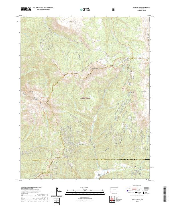
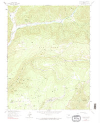
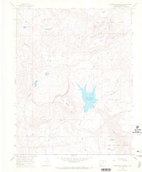
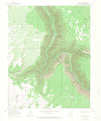
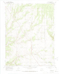
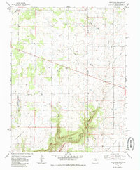
2022 Map of Hermosa Peak
USGS Topo · Published 2022About this map
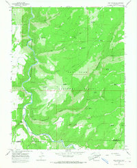
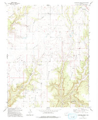
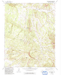
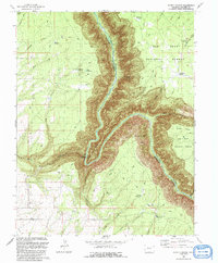
San Juan National Forest defines this high-elevation landscape, where the headwaters of several major drainages originate among the Rico Mountains. High summits such as Hermosa Peak, Blackhawk Mtn, and Whitecap Mtn anchor the terrain, while the Dolores River and Hermosa Cr flow through deep valleys. A complex network of historic trails and service roads, including the Rico-Silverton-Co.trail Trl and Hermosa Creek Trl, underscores the area's history as a transit corridor between mining districts. The map also reveals the intersection of four counties—Dolores, San Juan, Montezuma, and La Plata—meeting at remote points like Hotel Draw. This survey captures the alpine character of the region, from the open expanses of Tin Can Basin to the timbered slopes of Black Canyon.
Find a feature on this map
51 named features on this map. Tap any name to fly to it.
Don’t see what you’re looking for? This feature index may not catch every label — zoom into the map to look around manually.
Map Details
Editions of this 2022 Hermosa Peak Map
This is the sole edition of this map. No revisions or reprints were ever made.
Historical Maps of La Plata County Through Time
46 maps found
1953 Dolores Peak
Dolores County, CO
1953 Mount Wilson
Dolores County, CO

1957 Cedar 3 NW
Dolores County, CO
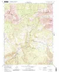
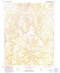
1960 Hermosa Peak
Dolores County, CO
1963 Clyde Lake
Dolores County, CO
1963 Nipple Mountain
Dolores County, CO
1964 Glade Mountain
Dolores County, CO
1964 Groundhog Mountain
Dolores County, CO
1964 Groundhog Reservoir
Dolores County, CO
1964 Secret Canyon
Dolores County, CO
1964 South Mountain
Dolores County, CO
1964 The Glade
Dolores County, CO
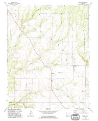
1965 Cahone
Dolores County, CO
1965 Doe Canyon
Dolores County, CO

1965 Narraguinnep Mountain
Dolores County, CO
1965 Willow Spring
Dolores County, CO
1978 Champagne Spring
Dolores County, CO

1985 Burnt Cabin Creek
Dolores County, CO
1985 Northdale
Dolores County, CO
1993 Champagne Spring
Dolores County, CO

1993 Doe Canyon
Dolores County, CO
1993 Glade Mountain
Dolores County, CO

1993 Narraguinnep Mountain
Dolores County, CO
1993 Secret Canyon
Dolores County, CO
1993 South Mountain
Dolores County, CO

1993 The Glade
Dolores County, CO

1993 Willow Spring
Dolores County, CO
1994 Cahone
Dolores County, CO
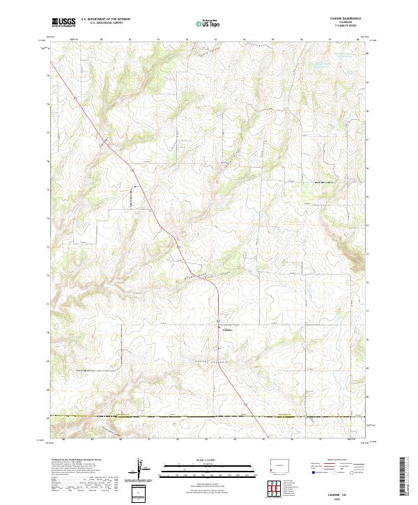
2022 Cahone
Dolores County, CO
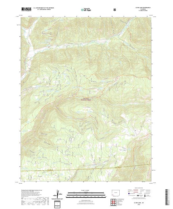
2022 Clyde Lake
Dolores County, CO
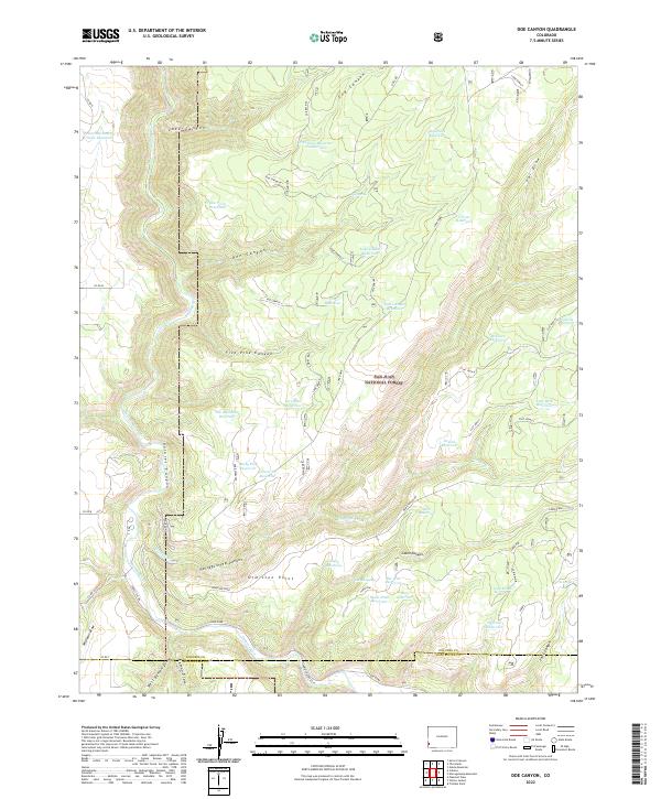
2022 Doe Canyon
Dolores County, CO
2022 Dolores Peak
Dolores County, CO
2022 Glade Mountain
Dolores County, CO
2022 Groundhog Mountain
Dolores County, CO
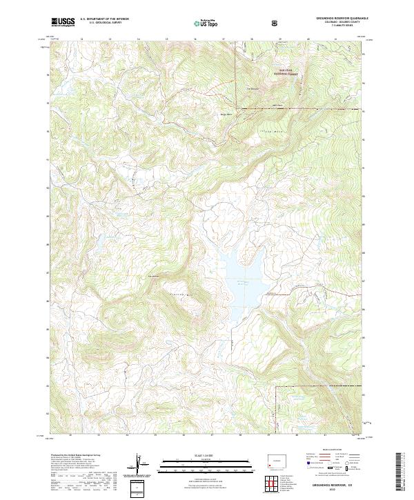
2022 Groundhog Reservoir
Dolores County, CO
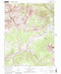
2022 Hermosa Peak
Dolores County, CO
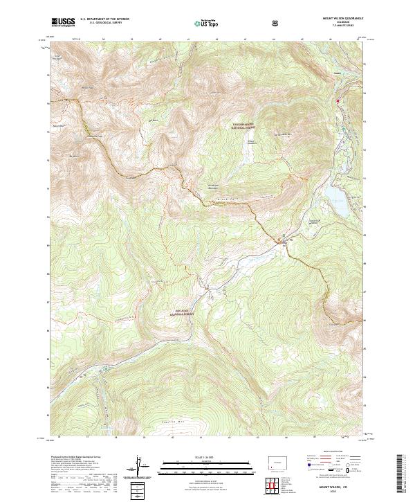
2022 Mount Wilson
Dolores County, CO
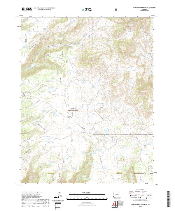
2022 Narraguinnep Mountain
Dolores County, CO
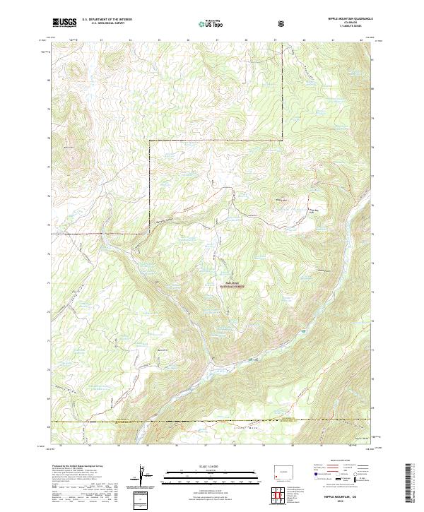
2022 Nipple Mountain
Dolores County, CO
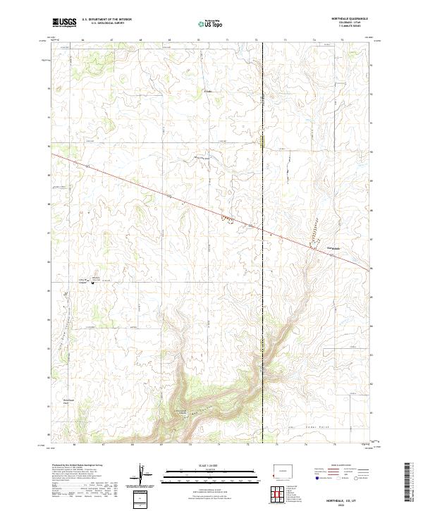
2022 Northdale
Dolores County, CO
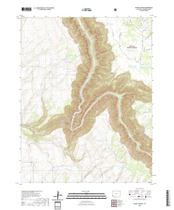
2022 Secret Canyon
Dolores County, CO
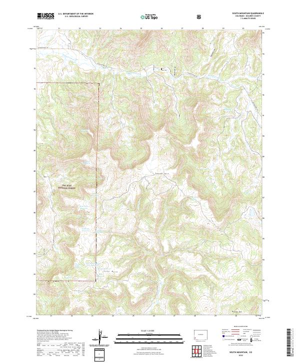
2022 South Mountain
Dolores County, CO
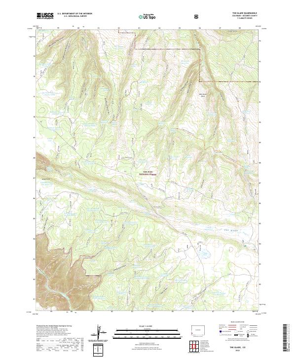
2022 The Glade
Dolores County, CO
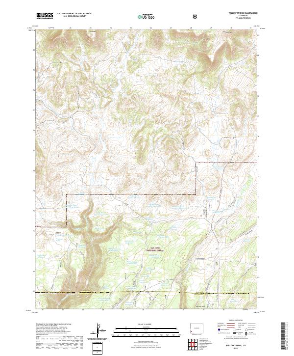
2022 Willow Spring
Dolores County, CO
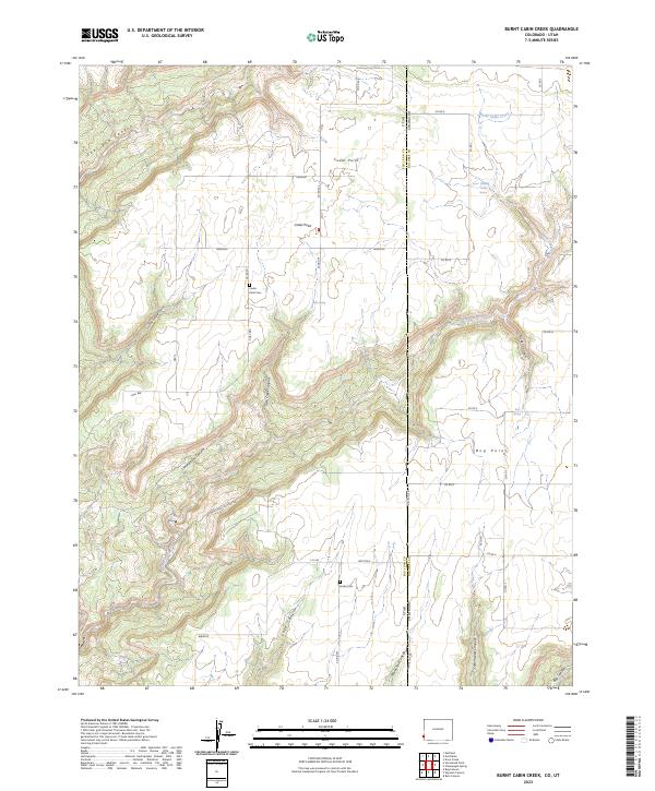
2023 Burnt Cabin Creek
Dolores County, CO
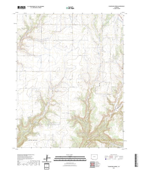
2023 Champagne Spring
Dolores County, CO