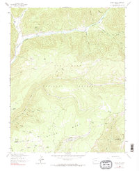
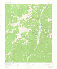
1963 Map of Clyde Lake
USGS Topo · Published 1990About this map
The West Dolores River carves through the northern reaches of this high-country landscape, where 1960s ranching and water management define the local geography. Established outposts like Miller Ranch and Cresto Ranch sit near the confluence of Groundhog Creek and Fish Creek, marking the intersection of working land and the San Juan National Forest. The map documents a complex network of springs and reservoirs vital to the high-altitude ecosystem, including Cresto Spring, Fivemile Spring, and the Sunshine Reservoir.
Find a feature on this map
43 named features on this map. Tap any name to fly to it.
Don’t see what you’re looking for? This feature index may not catch every label — zoom into the map to look around manually.
Map Details
Editions of this 1963 Clyde Lake Map
4 editions found
Other maps of this area

1897 · Rico
USGS Topo · 1:62,500

1898 · Rico
USGS Topo · 1:62,500

1899 · Rico
USGS Topo · 1:62,500

1953 · Dolores Peak
USGS Topo · 1:24,000

1956 · Cortez
USGS Topo · 1:250,000

1958 · Cortez
USGS Topo · 1:250,000

1959 · Cortez
USGS Topo · 1:250,000
1960 · Rico
USGS Topo · 1:24,000

1962 · Cortez
USGS Topo · 1:250,000

1963 · Stoner
USGS Topo · 1:24,000