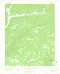
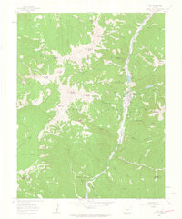
1963 Map of Clyde Lake
USGS Topo · Published 1965About this map
San Juan National Forest defines the landscape of this region in the early 1960s, dominated by the winding course of the West Dolores River and high terrain like Taylor Mesa. Remote homesteads and agricultural outposts such as Miller Ranch and Cesto Ranch are connected by a network of primitive routes, including the Johnny Bull Trail and various other pack trails.
Find a feature on this map
48 named features on this map. Tap any name to fly to it.
Don’t see what you’re looking for? This feature index may not catch every label — zoom into the map to look around manually.
Map Details
Editions of this 1963 Clyde Lake Map
4 editions found
Other maps of this area

1897 · Rico
USGS Topo · 1:62,500

1898 · Rico
USGS Topo · 1:62,500

1899 · Rico
USGS Topo · 1:62,500

1953 · Dolores Peak
USGS Topo · 1:24,000

1956 · Cortez
USGS Topo · 1:250,000

1958 · Cortez
USGS Topo · 1:250,000

1959 · Cortez
USGS Topo · 1:250,000
1960 · Rico
USGS Topo · 1:24,000

1962 · Cortez
USGS Topo · 1:250,000

1963 · Stoner
USGS Topo · 1:24,000