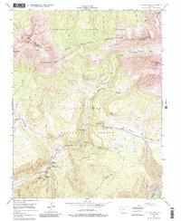
1953 Map of Dolores Peak
USGS Topo · Published 1985About this map
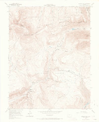
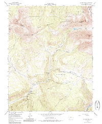
Dunton (Rancho Dolores) and its surrounding high-country landscape are captured here in the early 1950s, shortly after the mining era's peak but while the infrastructure of extraction and early recreation remained prominent. The map details the drainage of the West Dolores River and its tributaries, showing a rugged terrain where the San Miguel Mountains meet the San Juan National Forest. High-altitude features like Navajo Lake and the towering El Diente Peak dominate the topography, while the lower valleys show the sites of local history such as Dunton Hot Spring and the Dunton Guard Sta.
Find a feature on this map
46 named features on this map. Tap any name to fly to it.
Don’t see what you’re looking for? This feature index may not catch every label — zoom into the map to look around manually.
Map Details
Editions of this 1953 Dolores Peak Map
7 editions found

Other maps of this area

1897 · Rico
USGS Topo · 1:62,500

1897 · Telluride
USGS Topo · 1:62,500

1898 · Engineer Mountain
USGS Topo · 1:62,500

1898 · Rico
USGS Topo · 1:62,500

1899 · Rico
USGS Topo · 1:62,500

1900 · Engineer Mountain
USGS Topo · 1:62,500

1904 · Telluride
USGS Topo · 1:62,500

1908 · Engineer Mountain
USGS Topo · 1:62,500

1945 · Durango
USGS Topo · 1:250,000

1953 · Mount Wilson
USGS Topo · 1:24,000