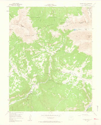
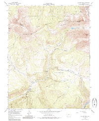
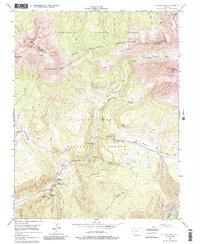
1953 Map of Dolores Peak
USGS Topo · Published 1963About this map
Dunton, also known as Rancho Dolores, sits deep in the high country where the West Dolores River meets Dunton Hot Spring. This early 1950s survey captures a landscape defined by the waning days of the region's mining and early alpine recreation. The map records several notable mining operations, including the Emma Mine and Smuggler Mine, while the Silver Pick Mill is already noted as abandoned. The high-altitude terrain of the San Miguel Mountains is traversed by historic routes like the Stock Driveway and the Highline Stock Driveway, reflecting the seasonal movement of livestock through the Uncompahgre and San Juan National Forests. In the southeastern corner, the path of the Rio Grande Southern Railroad follows the river, serving as a critical artery for the remote settlements and industrial outposts like Morgan Camp and the Dunton Guard Station.
Find a feature on this map
49 named features on this map. Tap any name to fly to it.
Don’t see what you’re looking for? This feature index may not catch every label — zoom into the map to look around manually.
Map Details
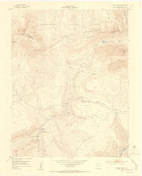
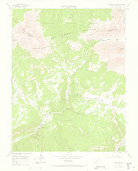
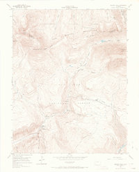
Editions of this 1953 Dolores Peak Map
7 editions found

Other maps of this area

1897 · Rico
USGS Topo · 1:62,500

1897 · Telluride
USGS Topo · 1:62,500

1898 · Engineer Mountain
USGS Topo · 1:62,500

1898 · Rico
USGS Topo · 1:62,500

1899 · Rico
USGS Topo · 1:62,500

1900 · Engineer Mountain
USGS Topo · 1:62,500

1904 · Telluride
USGS Topo · 1:62,500

1908 · Engineer Mountain
USGS Topo · 1:62,500

1945 · Durango
USGS Topo · 1:250,000

1953 · Mount Wilson
USGS Topo · 1:24,000