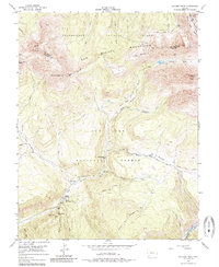
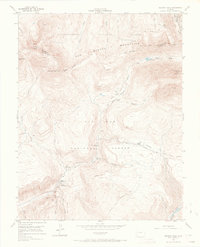
1953 Map of Dolores Peak
USGS Topo · Published 1985About this map
Dunton serves as a central point of human activity within this high-elevation landscape, where the West Dolores River and its numerous tributaries carve through the San Miguel Mountains. The 1950s era of the survey reveals a mix of recreational and extractive uses, with Dunton Hot Spring and the Burro Bridge Campground positioned alongside old mining interests like the Smuggler Mine and scattered pits in the Silver Pick Basin. These features suggest a period of transition where the remote terrain was being utilized for both its natural resources and its burgeoning outdoor appeal. Transportation is largely defined by specialized routes such as the Ground Hog Stock Driveway and the Dunton Road, which link the high meadows and peaks, including the prominent El Diente Peak and Dolores Peak, to the seasonal camps and forest stations below.
Find a feature on this map
46 named features on this map. Tap any name to fly to it.
Don’t see what you’re looking for? This feature index may not catch every label — zoom into the map to look around manually.
Map Details
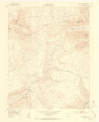
Editions of this 1953 Dolores Peak Map
7 editions found

Other maps of this area

1897 · Rico
USGS Topo · 1:62,500

1897 · Telluride
USGS Topo · 1:62,500

1898 · Engineer Mountain
USGS Topo · 1:62,500

1898 · Rico
USGS Topo · 1:62,500

1899 · Rico
USGS Topo · 1:62,500

1900 · Engineer Mountain
USGS Topo · 1:62,500

1904 · Telluride
USGS Topo · 1:62,500

1908 · Engineer Mountain
USGS Topo · 1:62,500

1945 · Durango
USGS Topo · 1:250,000

1953 · Mount Wilson
USGS Topo · 1:24,000