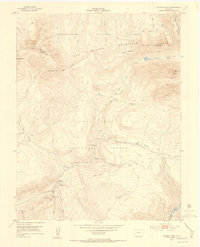
1953 Map of Dolores Peak
USGS Topo · Published 1954About this map
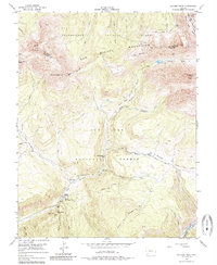
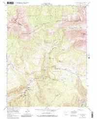
San Miguel Mountains topography dominates this mid-century survey, a landscape defined by the transition between the Uncompahgre National Forest and San Juan National Forest. High-altitude mining history is visible near the Silver Pick Basin, where the Silver Pick Mill stands as a remnant of earlier extraction eras. Further south, the West Dolores River valley serves as a focal point for settlement and recreation, anchored by Dunton, the Dunton Hot Spring, and the Dunton Guard Sta. The map provides a detailed record of high-country infrastructure, from the Old Railroad Grade in the south to the network of stock driveways like the Highline Stock Driveway and Ground Hog Stock Driveway used for moving livestock through the meadows. Notable peaks including Dolores Peak and El Diente Peak tower over the basins and alpine lakes such as Navajo Lake.
Find a feature on this map
47 named features on this map. Tap any name to fly to it.
Don’t see what you’re looking for? This feature index may not catch every label — zoom into the map to look around manually.
Map Details
Editions of this 1953 Dolores Peak Map
7 editions found

Other maps of this area

1897 · Rico
USGS Topo · 1:62,500

1897 · Telluride
USGS Topo · 1:62,500

1898 · Engineer Mountain
USGS Topo · 1:62,500

1898 · Rico
USGS Topo · 1:62,500

1899 · Rico
USGS Topo · 1:62,500

1900 · Engineer Mountain
USGS Topo · 1:62,500

1904 · Telluride
USGS Topo · 1:62,500

1908 · Engineer Mountain
USGS Topo · 1:62,500

1945 · Durango
USGS Topo · 1:250,000

1953 · Mount Wilson
USGS Topo · 1:24,000