1960s Maps of Mesa County, Colorado
Explore 64 historic maps of Mesa County from the 1960s. These maps offer a rare glimpse into what life looked like during the 1960s — showing old roads, neighborhoods, homes, and landmarks that have changed or disappeared over time.
Whether you're researching your family's past, planning a metal detecting trip, or studying how Mesa County's landscape evolved across the 1960s, these high-resolution maps are a powerful tool for exploring the history of this region.
- Focus on a specific era: All maps on this page are from the 1960s, giving you a focused view of this time period.
- See what’s changed: Compare century-old streets, trails, and buildings to today's modern landscape using overlays and satellite layers.
- Research with precision: Use these maps for genealogy, historical research, land use analysis, or educational projects.
- View, download, or print: Maps are fully viewable online in high resolution, and can be downloaded or printed for your own records.
Start exploring Mesa County's history through authentic maps from the 1960s. This is your window into the past.
Mesa County, CO maps
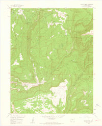
(64)- 1960 Map of Leadville
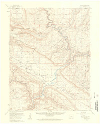
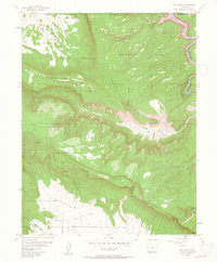
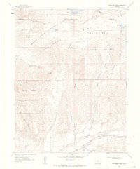
 1960 Leadville1960 Print · USGSThe Colorado high country in the mid-fifties comes alive through its mining camps, river valleys, and rail lines. Trace the industrial legacy of the Climax Molybdenum Mine and explore the alpine reaches of the Camp Hale Military Reservation.2 unique versions available
 - 1960 Map of Moab
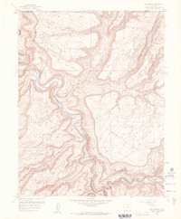
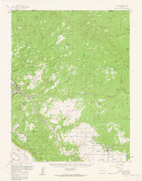
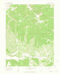
 1960 Moab1960 Print · USGSThe canyonlands and high plateaus of the Utah-Colorado border are shown here during the mid-century uranium boom. Researchers can trace the river-and-rail corridors of the Colorado River and the Denver and Rio Grande Western near Moab and Uravan.3 unique versions available
 - 1960 Map of Grand Junction
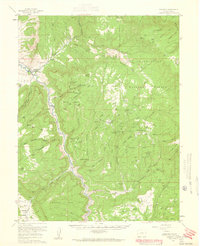
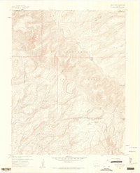
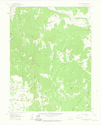
 1960 Grand Junction1960 Print · USGSThe Grand Junction area at the dawn of the 1960s shows a landscape of river-valley agriculture and high-plateau extraction. Researchers can trace the path of the dismantled railroad and find vanished sites like Watson and Sego.2 unique versions available
 - 1960 Map of Paradox, 1961 Print
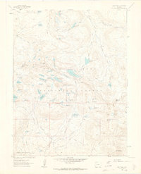
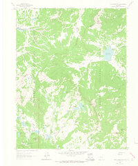
 1960 Paradox1961 Print · USGSWestern Colorado at the height of the post-war mining boom reveals a landscape carved by the Dolores River and its uranium-rich mesas. Local historians can trace the foundations of Paradox and Bedrock alongside dozens of named claims like the Golden Cycle Mine and Shamrock Mines.4 unique versions available
 - 1960 Map of Gateway, 1961 Print
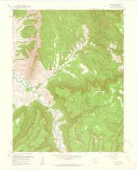
 1960 Gateway1961 Print · USGSWestern Colorado's high mesas and mining outposts are recorded here in the early sixties as the uranium boom shaped the landscape. Researchers can locate remote operations like the New Verde Mines and Mammoth Mine or trace the Dolores River past Gateway.4 unique versions available
 - 1960 Map of Atkinson Creek, 1961 Print
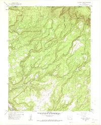 1960 Atkinson Creek1961 Print · USGSMontrose County was a landscape of high mesas and deep canyons at the start of the 1960s. Researchers can trace land use through landmarks like Spring Creek Ranch, high-altitude Airstrips, and the early footprints of the mining community at Uravan.3 unique versions available
 - 1960 Map of Gateway, 1961 Print
 1960 Gateway1961 Print · USGSThe Dolores River canyon country of Mesa County is captured here in the early sixties, showing a landscape shaped by mining and cattle. Trace the uranium-era activity at the Black Mama No 2 Mine, Mammoth Mine, and the Wayside Chapel in Gateway.4 unique versions available
 - 1960 Map of Roc Creek, 1961 Print
 1960 Roc Creek1961 Print · USGSThe canyon country of western Colorado comes to life in the early 1960s, showing a world of remote cattle ranches and active uranium-era prospects. Trace the routes of the Radium Trail and Salt Train past the Radium Cycle Mine and Pace Ranch.3 unique versions available
 - 1960 Map of Pine Mountain, 1961 Print
 1960 Pine Mountain1961 Print · USGSThe Uncompahgre highlands are documented here during the early sixties, showing a wilderness of canyons and high-plateau ponds. Researchers can trace historic access routes like the Snowshoe Trail and locate remote landmarks such as Wolf Hill and Yellowjacket Canyon.3 unique versions available
 - 1960 Map of Red Canyon, 1961 Print
 1960 Red Canyon1961 Print · USGSThe canyons and mesas of western Colorado appear here at the height of a mid-century mining boom. Researchers can trace dozens of specific claims like the Shamrock Mine and Bluebird Mine near the isolated Club Ranch.3 unique versions available
 - 1960 Map of Juanita Arch, 1961 Print
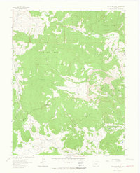
 1960 Juanita Arch1961 Print · USGSThe Dolores River corridor in the early sixties was a landscape of remote mineral claims and high plateaus. Trace old uranium prospects like the Mother Dee Mine and Nielson Mine or find the namesake Juanita Arch.10 unique versions available
 - 1960 Map of Calamity Mesa, 1961 Print
 1960 Calamity Mesa1961 Print · USGSIn the Colorado plateau during the mid-twentieth century, this landscape was a hub of intense mineral exploration and remote mining outposts. Researchers can trace the network of trails and shafts at Arrowhead Mines, Calamity Camp, and the Cliffdweller Mines.4 unique versions available
 - 1960 Map of Nucla, 1961 Print
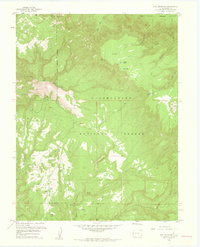
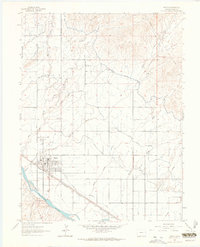
 1960 Nucla1961 Print · USGSThe Colorado Plateau's mining boom is in full swing during the early sixties, centered on the company town of Uravan and the surrounding mesas. Genealogists and industrial historians can trace dozens of specific claims such as the Sunbeam Mine and Navajo Mine, or locate family landmarks like Templeton Ranch and the Nucla Cemetery.2 unique versions available
 - 1960 Map of Windy Point, 1962 Print
 1960 Windy Point1962 Print · USGSHigh in the Colorado backwoods during the early sixties, this area shows a landscape defined by ranching and forest recreation. Researchers can find old backcountry landmarks like Porters Cow Camp, The Meadows Ranch, and the T Bone Spring Campground.5 unique versions available
 - 1960 Map of Leon Peak, 1963 Print
 1960 Leon Peak1963 Print · USGSHigh on the Grand Mesa in the early sixties, this survey captures a landscape defined by complex water engineering and high-country ranching. Trace the path of the Leon Tunnel, the Leon Drift Fence, and reservoirs like Colby Horse Park Reservoir.5 unique versions available
 - 1960 Map of Hawxhurst Creek, 1964 Print
 1960 Hawxhurst Creek1964 Print · USGSThe Colorado high country along the Garfield and Mesa county line is shown here in the early sixties as a landscape of remote cattle camps and water management. Researchers can trace historic grazing sites like Kennon Cow Camp and family landmarks near Clover Cem.4 unique versions available
 - 1960 Map of South Mamm Peak, 1964 Print
 1960 South Mamm Peak1964 Print · USGSHigh mesa country on the Garfield and Mesa County line is documented here in the early sixties. Genealogists and local historians can locate the Heiberger (Site), trace the Battlement Trail, and find the old Clover Sch along Plateau Creek.4 unique versions available
 - 1961 Map of Porter Mountain, 1963 Print
 1961 Porter Mountain1963 Print · USGSThe high plateau of the Mesa and Delta county line is captured in the early sixties as a hub of forest management and water engineering. Researchers can trace historic irrigation routes like the Silver Spruce Ditch and primitive access paths including the Stubb Jeep Trail near Porter Mountain.4 unique versions available
 - 1961 Map of Chalk Mountain, 1963 Print
 1961 Chalk Mountain1963 Print · USGSThe high mesa country of Delta County in the early 1960s was a landscape defined by forest management and water engineering. You can trace the network of high-altitude irrigation pools like Holy Terror Res and Skimmed Milk Res or locate the Lombard Slides.7 unique versions available
 - 1961 Map of Spruce Mountain, 1964 Print
 1961 Spruce Mountain1964 Print · USGSMesa County and the surrounding national forests are captured here in the early 1960s during a period of high-country ranching and resource exploration. Trace the locations of Buzzard Cow Camp and Oil Well Camp, or locate the Drill Hole and old Pack Trail through the timber.4 unique versions available
 - 1962 Map of Moab
 1962 Moab1962 Print · USGSThe canyon country of southeastern Utah and western Colorado is captured here in the early sixties, showing the reach of the Denver and Rio Grande Western through the desert. Researchers can trace the layout of mining settlements like Uravan and old railroad stops at Cisco and Sagers Station.
 - 1962 Map of Leadville
 1962 Leadville1962 Print · USGSThe Colorado high country in the early sixties was a rugged landscape of mining camps, military training grounds, and emerging ski towns. Researchers can trace the legacy of Camp Hale, locate the Molybdenum mine near Leadville, and follow the Denver and Rio Grande Western RR through the canyons.
 - 1962 Map of Grand Junction
 1962 Grand Junction1962 Print · USGSThe Western Slope of the early sixties comes into focus here, showing the irrigation-driven growth of the valley and the surrounding high desert. Trace the path of the Denver and Rio Grande Western RR or locate old outposts like Atchee and Dragon.
 - 1962 Map of Fruita, 1964 Print
 1962 Fruita1964 Print · USGSThe Grand Valley's irrigation network and rail corridors are captured here in the early sixties as Fruita expanded. Researchers can trace local genealogy and landmarks at Elmwood Cem, the Star Community Center, and the Denver and Rio Grande Western Railroad depot.4 unique versions available
 - 1962 Map of Clifton, 1964 Print
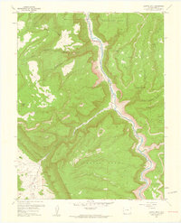
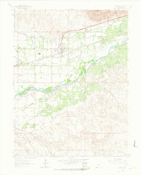 1962 Clifton1964 Print · USGSMesa County is seen here in the early 1960s, showing a landscape defined by irrigated fruit orchards and the steady growth of the Grand Valley. Researchers can trace historic local sites like Central High Sch, the Light and Life Chapel, and the riverside tracks of the Denver and Rio Grande Western.2 unique versions available
Showing maps 1-25 of 64
Top cities of Mesa County
- Grand Junction historical maps
- Fruita historical maps
- Palisade historical maps
- Loma historical maps
- De Beque historical maps
- Collbran historical maps
Frequently asked questions
- What are the different types of historical maps available for Mesa County?
- What is the oldest map of Mesa County?
- Where can I purchase historical maps of Mesa County for my home or office?
- Where can I download high-res historical maps of Mesa County?
- Are there historical topographic maps available for Mesa County?
- Is there historical aerial imagery available for Mesa County?
- Where are historical maps of Mesa County sourced from?