2020s Maps of Mesa County, Colorado
Explore 80 historic maps of Mesa County from the 2020s. These maps offer a rare glimpse into what life looked like during the 2020s — showing old roads, neighborhoods, homes, and landmarks that have changed or disappeared over time.
Whether you're researching your family's past, planning a metal detecting trip, or studying how Mesa County's landscape evolved across the 2020s, these high-resolution maps are a powerful tool for exploring the history of this region.
- Focus on a specific era: All maps on this page are from the 2020s, giving you a focused view of this time period.
- See what’s changed: Compare century-old streets, trails, and buildings to today's modern landscape using overlays and satellite layers.
- Research with precision: Use these maps for genealogy, historical research, land use analysis, or educational projects.
- View, download, or print: Maps are fully viewable online in high resolution, and can be downloaded or printed for your own records.
Start exploring Mesa County's history through authentic maps from the 2020s. This is your window into the past.
Mesa County, CO maps
(80)- 2020 Map of Westwater, 2020 Print
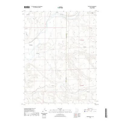 2020 Westwater2020 Print · USGSCovers Mesa County, including Westwater, Grand County, and other nearby areas
 - 2020 Map of Bar X Wash, 2020 Print
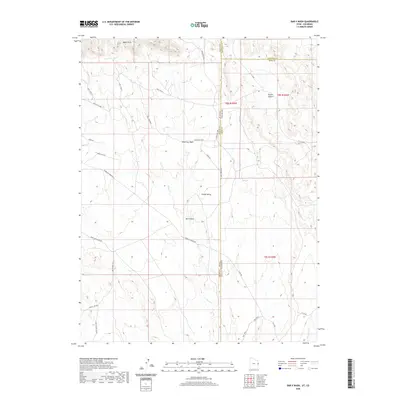 2020 Bar X Wash2020 Print · USGSCovers Mesa County, including Garfield County, Grand County, and other nearby areas
 - 2020 Map of Bitter Creek Well, 2020 Print
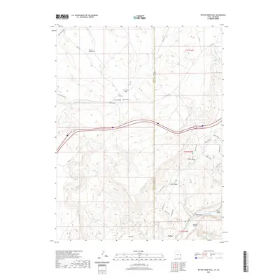 2020 Bitter Creek Well2020 Print · USGSCovers Mesa County, including Utaline, Grand County, and other nearby areas
 - 2020 Map of Steamboat Mesa, 2020 Print
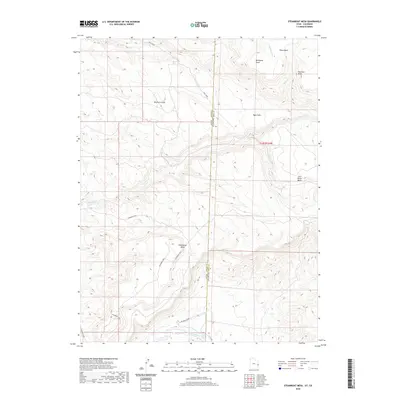 2020 Steamboat Mesa2020 Print · USGSCovers Mesa County, including Grand County, United States, and other nearby areas
 - 2020 Map of Marble Canyon, 2020 Print
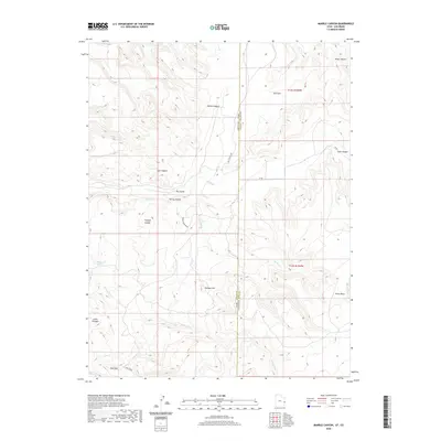 2020 Marble Canyon2020 Print · USGSCovers Mesa County, including Grand County, United States, and other nearby areas
 - 2022 Map of Keith Creek, 2022 Print
 2022 Keith Creek2022 Print · USGSThe Uncompahgre high country comes into focus in this recent survey of the Colorado plateau. Researchers can trace historic grazing routes and remote landmarks like Wagon Park, Barklay Cabin Gulch, and the deep cut of Dominguez Canyon.
 - 2022 Map of Point Creek, 2022 Print
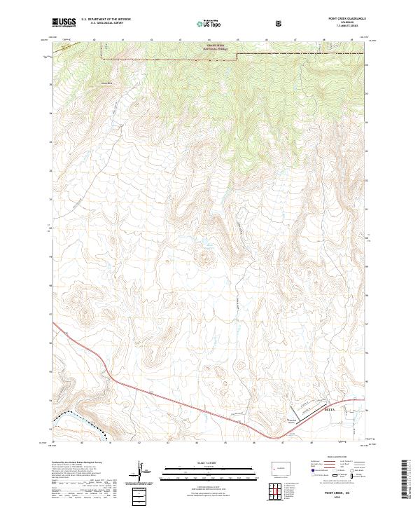 2022 Point Creek2022 Print · USGSThe high plateau meets the Gunnison River valley in this recent study of the Colorado landscape near Delta. Researchers can trace historic water routes like Lone Star Ditch and navigate the roads surrounding Westwinds Airport and Sheep Rock.
 - 2022 Map of Buckeye Reservoir, 2022 Print
 2022 Buckeye Reservoir2022 Print · USGSThe high-desert and mountain borderlands of Montrose County are captured here in the early twenty-first century. Researchers can trace the rugged transition from Sinbad Valley to the heights of Carpenter Ridge while identifying key water sources like Buckeye Reservoir.
 - 2022 Map of Indian Point, 2022 Print
 2022 Indian Point2022 Print · USGSThe high western plateau of Colorado is captured here as it appeared in 2022, showcasing the intricate water systems of the Grand Mesa National Forest. Researchers can trace the paths of historic backcountry routes like the Flowing Park Trl and investigate water rights through the Juniata Ditch.
 - 2022 Map of Bieser Creek, 2022 Print
 2022 Bieser Creek2022 Print · USGSMesa County is shown in the early twenty-first century, a period defined by the management of its high-desert plateaus and canyons. Researchers can trace the drainage of Piñon Mesa through remote landmarks like Toms Canyon Spring and Kings Canyon.
 - 2022 Map of Snipe Mountain, 2022 Print
 2022 Snipe Mountain2022 Print · USGSThe high mesa country of the Uncompahgre Plateau is detailed here in the early twenty-first century, showing a landscape shaped by deep canyons and seasonal water. Researchers can trace historical pack routes like the Atkinson Trail and identify landmarks such as Beaver Dam Reservoir and Kelso Mesa.
 - 2022 Map of Red Canyon, 2022 Print
 2022 Red Canyon2022 Print · USGSThe Colorado western slope in the early twenty-first century is a landscape of high plateaus and deep river canyons. Genealogists and hikers can trace remote access routes across Atkinson Mesa to the banks of the Dolores River and San Miguel River.
 - 2022 Map of Juanita Arch, 2022 Print
 2022 Juanita Arch2022 Print · USGSMesa County landforms and deep river canyons are captured here as they appeared in recent years. Researchers and explorers can trace the path of the Dolores River past landmarks like Juanita Arch, Sewemup Mesa, and the high reaches of Sinbad Valley.
 - 2022 Map of Island Mesa, 2022 Print
 2022 Island Mesa2022 Print · USGSMesa County in the 2020s remains a landscape of high benches and deep drainages, accessed by a network of backcountry trails. Local explorers can trace the routes of Easy Rider Trl and Windmill Trl or locate water at Notch Spring and End Spring.
 - 2022 Map of Hells Kitchen, 2022 Print
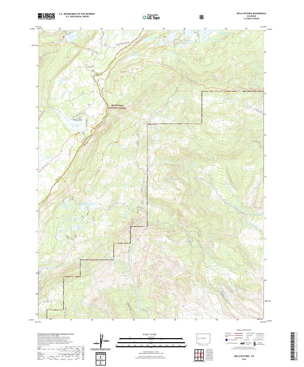 2022 Hells Kitchen2022 Print · USGSThe high plateau of Delta and Mesa counties comes into focus in this recent survey of the Colorado backcountry. Researchers can trace intricate water systems and remote outposts like Doughspoon Reservoir, Machett Cow Camp, and Hells Kitchen.
 - 2022 Map of Atkinson Creek, 2022 Print
 2022 Atkinson Creek2022 Print · USGSThe high mesa country of Montrose County is documented here in the early twenty-first century, showing the enduring landscape of the canyonlands. Researchers can trace the rugged access roads and trails like the Spring Creek Truck Trail to landmarks including Uravan and Atkinson Mesa.
 - 2022 Map of Dominguez, 2022 Print
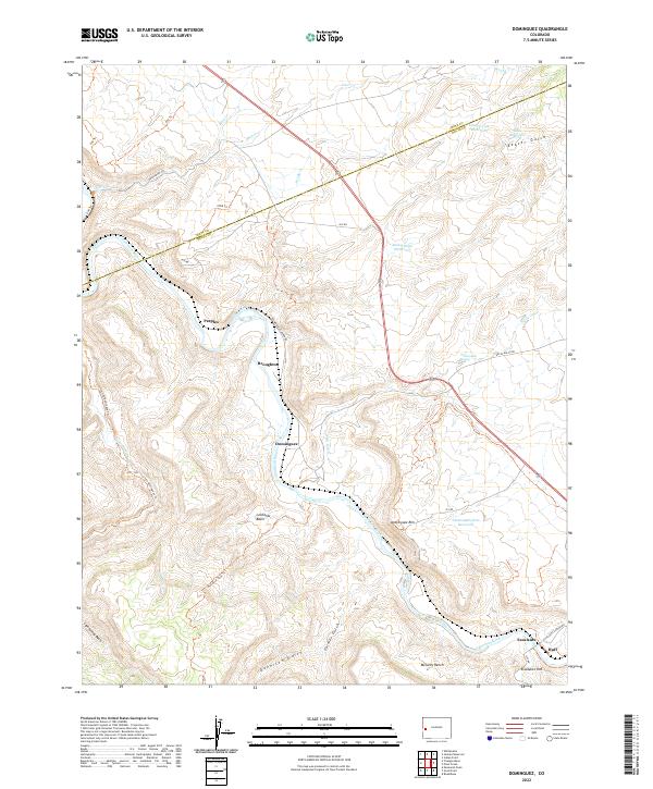 2022 Dominguez2022 Print · USGSThe Gunnison River canyon and its surrounding plateaus define this western Colorado landscape in the early twenty-first century. Researchers can trace historic river-side locations like Dominguez and Peeples, or locate high-country landmarks such as Leonards Basin and McCarty Bench.
 - 2022 Map of Glade Park, 2022 Print
 2022 Glade Park2022 Print · USGSHigh mesa ranching and desert plateau life characterize the Glade Park area in recent years. Researchers can trace land use patterns through reservoirs like Schrader Reservoir and family-named landmarks such as Clarks Bench and Oak Hill.
 - 2022 Map of Juniata Reservoir, 2022 Print
 2022 Juniata Reservoir2022 Print · USGSThe western slopes of Mesa County show a complex network of mountain water engineering in the early 2020s. Trace the path of historic irrigation from the Grand Mesa National Forest to Purdy Mesa via the Juniata Ditch and Kannah Cr.
 - 2022 Map of Roc Creek, 2022 Print
 2022 Roc Creek2022 Print · USGSWestern Colorado's high desert plateaus are captured here in the early 2020s, showing the dramatic transition between deep valleys and towering mesas. Researchers can trace the rugged topography of Sinbad Valley, Sewemup Mesa, and the forest routes along Carpenter Ridge.
 - 2022 Map of Two V Basin, 2022 Print
 2022 Two V Basin2022 Print · USGSPiñon Mesa and the dramatic depths of Unaweep Canyon are revealed in this recent topographical study. Trace the high-altitude routes of MS RD and identify local landmarks like Two V Basin and Lost Horse Basin.
 - 2022 Map of Payne Wash, 2022 Print
 2022 Payne Wash2022 Print · USGSMesa County highlands in the early twenty-first century reveal a landscape of deep canyons and high mesas near the Utah border. Genealogists and local historians can trace ranching landmarks like Masters Ranch Dr and natural features such as Miracle Rock and Maiden Spring.
 - 2022 Map of Uncompahgre Butte, 2022 Print
 2022 Uncompahgre Butte2022 Print · USGSThe high plateau country of western Colorado is shown here in the modern era, where the national forest meets the canyonlands of Mesa County. Researchers can trace historic access routes like Leonards Ridge Trl to landmarks such as Uncompahgre Butte and California Spring.
 - 2022 Map of Snyder Flats, 2022 Print
 2022 Snyder Flats2022 Print · USGSThe high plateau of Piñon Mesa meets the deep cut of Unaweep Canyon in this modern look at Mesa County’s wilder reaches. Researchers can trace land use patterns through landmarks like Gill Meadows, Snyder Flats, and the various reservoirs that dot the mesa top.
 - 2022 Map of Triangle Mesa, 2022 Print
 2022 Triangle Mesa2022 Print · USGSThe high mesas and deep canyons of western Colorado are documented here in the early twenty-first century, centered on the Gunnison River corridor. Researchers can trace historic routes like the Big Dominguez Trl through Dominguez Canyon and find landmarks such as Tunnel Point and Bridgeport.
Showing maps 1-25 of 80
Top cities of Mesa County
- Grand Junction historical maps
- Fruita historical maps
- Palisade historical maps
- Loma historical maps
- De Beque historical maps
- Collbran historical maps
Frequently asked questions
- What are the different types of historical maps available for Mesa County?
- What is the oldest map of Mesa County?
- Where can I purchase historical maps of Mesa County for my home or office?
- Where can I download high-res historical maps of Mesa County?
- Are there historical topographic maps available for Mesa County?
- Is there historical aerial imagery available for Mesa County?
- Where are historical maps of Mesa County sourced from?