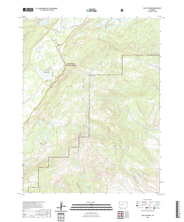
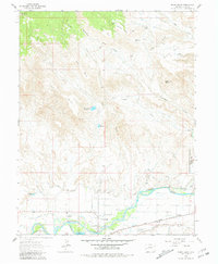
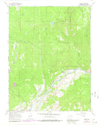
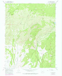
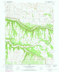
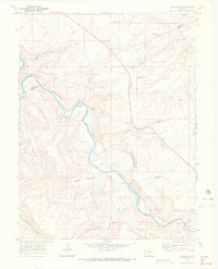
2022 Map of Hells Kitchen
USGS Topo · Published 2022About this map
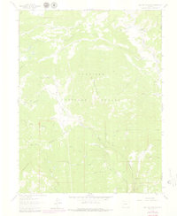
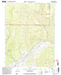
Grand Mesa National Forest defines this high-elevation landscape, where an intricate network of water management features supports the surrounding region. The map reveals a complex system of reservoirs and conveyances, including the Doughspoon Reservoir, Delta Reservoir, and several numbered basins such as Granby Reservoir Number 7. These are linked by engineered watercourses like the Doughspoon Aqueduct, Eagle Ditch, and Cedar Park Ditch.
Find a feature on this map
63 named features on this map. Tap any name to fly to it.
Don’t see what you’re looking for? This feature index may not catch every label — zoom into the map to look around manually.
Map Details
Editions of this 2022 Hells Kitchen Map
This is the sole edition of this map. No revisions or reprints were ever made.
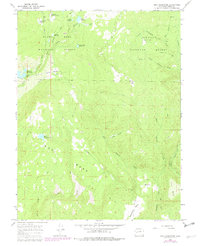
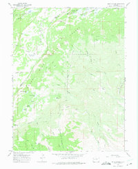
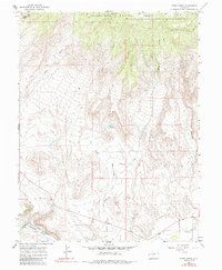
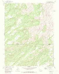
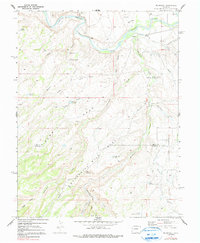
Historical Maps of Mesa County Through Time
32 maps found
1955 Black Ridge
Delta County, CO
1955 Olathe NW
Delta County, CO

1960 Leon Peak
Delta County, CO
1961 Chalk Mountain
Delta County, CO
1961 Electric Mountain
Delta County, CO
1962 North Delta
Delta County, CO
1965 Bowie
Delta County, CO
1965 Dry Creek
Delta County, CO
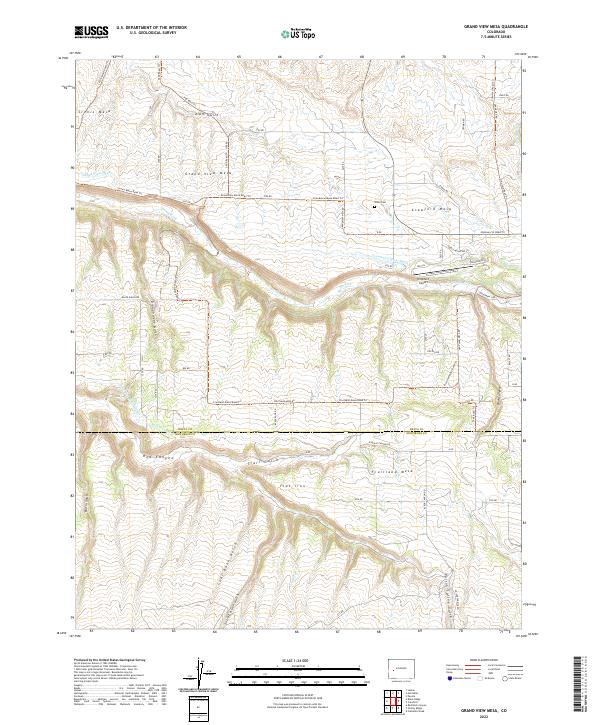
1965 Grand View Mesa
Delta County, CO
1965 Gray Reservoir
Delta County, CO
1965 Hells Kitchen
Delta County, CO
1965 Point Creek
Delta County, CO
1969 Dominguez
Delta County, CO
1969 Good Point
Delta County, CO
1969 Roubideau
Delta County, CO
2001 Bowie
Delta County, CO
2001 Electric Mountain
Delta County, CO
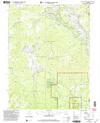
2022 Black Ridge
Delta County, CO
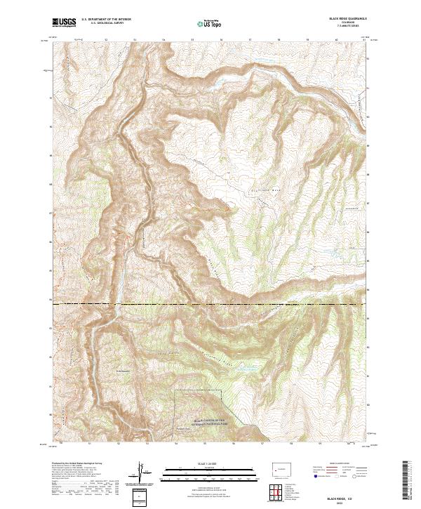
2022 Bowie
Delta County, CO
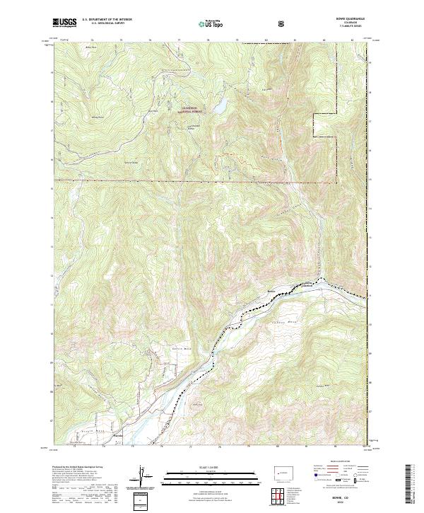
2022 Chalk Mountain
Delta County, CO
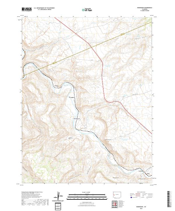
2022 Dominguez
Delta County, CO
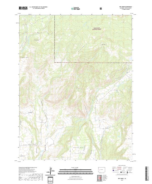
2022 Dry Creek
Delta County, CO
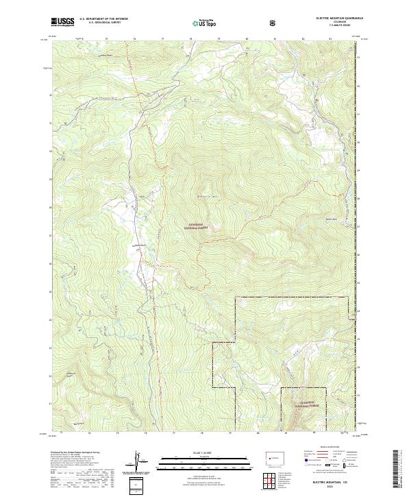
2022 Electric Mountain
Delta County, CO
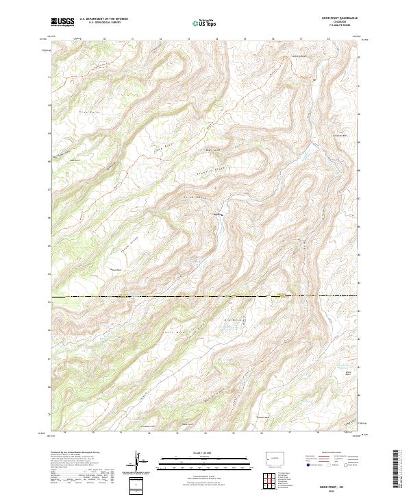
2022 Good Point
Delta County, CO
2022 Grand View Mesa
Delta County, CO
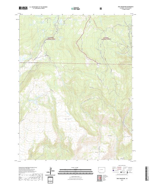
2022 Gray Reservoir
Delta County, CO
2022 Hells Kitchen
Delta County, CO
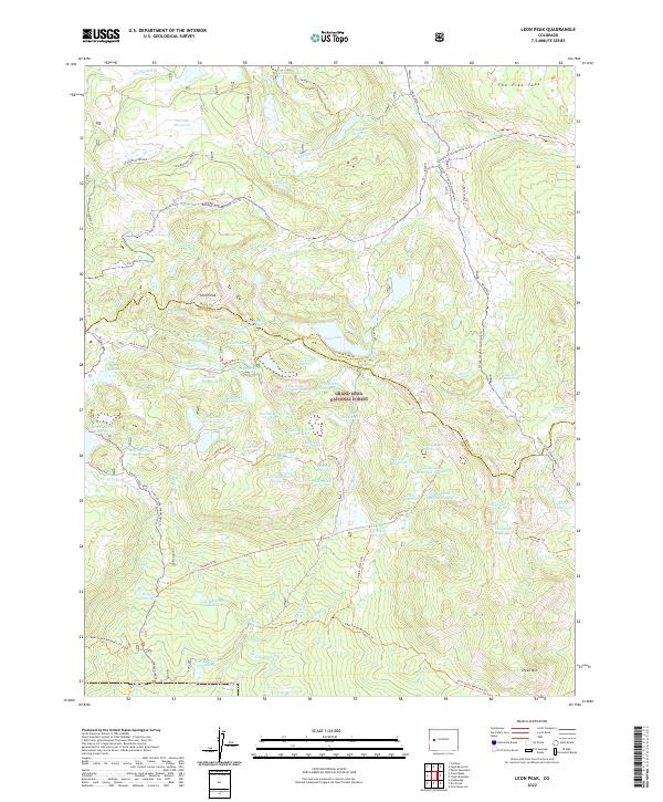
2022 Leon Peak
Delta County, CO
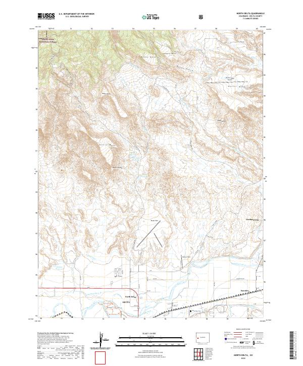
2022 North Delta
Delta County, CO
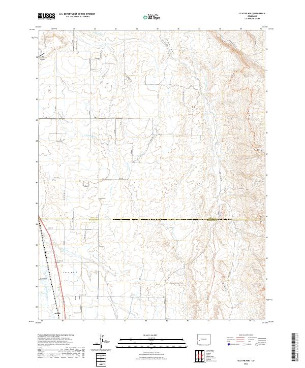
2022 Olathe NW
Delta County, CO
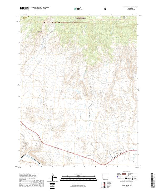
2022 Point Creek
Delta County, CO
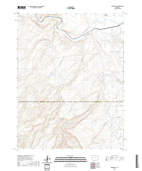
2022 Roubideau
Delta County, CO