1970s Maps of Routt County, Colorado
Explore 27 historic maps of Routt County from the 1970s. These maps offer a rare glimpse into what life looked like during the 1970s — showing old roads, neighborhoods, homes, and landmarks that have changed or disappeared over time.
Whether you're researching your family's past, planning a metal detecting trip, or studying how Routt County's landscape evolved across the 1970s, these high-resolution maps are a powerful tool for exploring the history of this region.
- Focus on a specific era: All maps on this page are from the 1970s, giving you a focused view of this time period.
- See what’s changed: Compare century-old streets, trails, and buildings to today's modern landscape using overlays and satellite layers.
- Research with precision: Use these maps for genealogy, historical research, land use analysis, or educational projects.
- View, download, or print: Maps are fully viewable online in high resolution, and can be downloaded or printed for your own records.
Start exploring Routt County's history through authentic maps from the 1970s. This is your window into the past.
Routt County, CO maps
(27)- 1971 Map of Breeze Mountain, 1974 Print
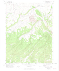
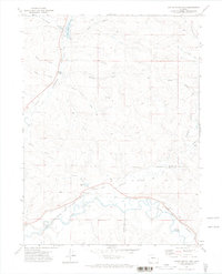
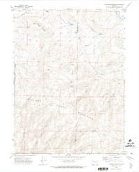 1971 Breeze Mountain1974 Print · USGSMoffat and Routt Counties are captured here in the early 1970s during a period of active energy exploration across the high basins. Genealogists and historians can trace family-named landmarks and infrastructure like Dresher Reservoir, the Airway Beacon on Breeze Mountain, and numerous remote Mine and Gas Well sites.4 unique versions available
 - 1971 Map of Hooker Mountain, 1974 Print
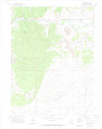
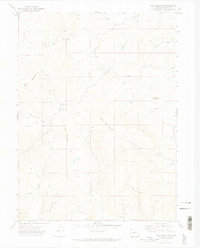
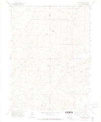
 1971 Hooker Mountain1974 Print · USGSRoutt County's Yampa River valley in the early 1970s reveals a landscape of complex irrigation and early industrial mining. Genealogists and researchers can trace family-named water rights like the Walker Ditch and navigate the rugged terrain around Hooker Mountain and Morgan Creek Falls.2 unique versions available
 - 1971 Map of Milner, 1974 Print
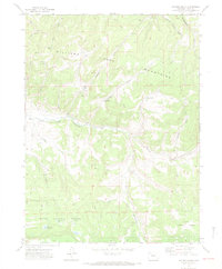
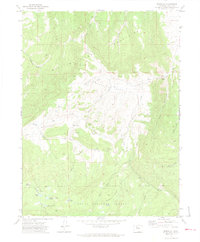
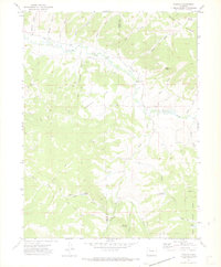
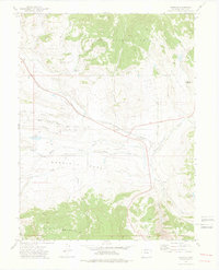
 1971 Milner1974 Print · USGSRoutt County mining and rail operations are in full swing in the early 1970s along the Yampa River. Researchers can trace the industrial footprint of the Tow Creek Oil Field and locate vanished landmarks like Coal View (Site) and Mc Gregor.3 unique versions available
 - 1971 Map of Mount Harris, 1974 Print
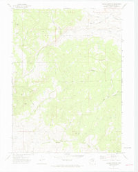
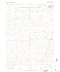
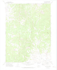
 1971 Mount Harris1974 Print · USGSRoutt County during the early seventies shows a landscape shaped by the Yampa River and the energy industry. Researchers can trace the Denver and Rio Grande Western rail line past Hayden Station to find a Strip Mine, the Cem at Hayden, and family-named landmarks like Mines J B Dawson Res No 1.
 - 1971 Map of Hayden Gulch, 1974 Print
 1971 Hayden Gulch1974 Print · USGSRoutt County, Colorado, in the early 1970s shows a high-country landscape defined by its watersheds and nascent energy extraction. Collectors and local historians can trace the paths of the Williams Mountains and identify industrial sites like the Strip Mine or remote water features such as Wyman Reservoir and Moody Lake.3 unique versions available
 - 1971 Map of Quaker Mountain, 1974 Print
 1971 Quaker Mountain1974 Print · USGSRoutt County high country is shown in detail during the early 1970s, focused on the forest and creek systems north of Hayden. Researchers can trace historical routes along jeep trails to an old Mine or locate natural landmarks like Finger Rock and Quaker Mountain.4 unique versions available
 - 1971 Map of Rattlesnake Butte, 1974 Print
 1971 Rattlesnake Butte1974 Print · USGSThe coal country of Routt County is documented here in the early 1970s, as surface mining and rail lines reshaped the high-altitude landscape. Genealogists and historians can locate rural landmarks like Foidel Sch, the Energy Mine, and the Denver and Rio Grande Western railroad.2 unique versions available
 - 1971 Map of Wolf Mountain, 1974 Print
 1971 Wolf Mountain1974 Print · USGSRoutt County high country in the early seventies shows a landscape shaped by mining and remote trails. Trace the locations of the Franz Mine and Grey Mine, or follow the JEEP TRAIL through Slippery Sides Mountain.3 unique versions available
 - 1971 Map of Dunckley, 1974 Print
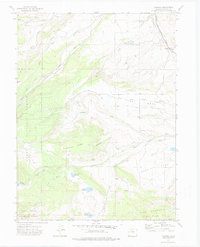
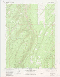
 1971 Dunckley1974 Print · USGSThe Williams Fork Mountains and the high basin of Williams Park are captured in the early 1970s. Trace ranching and energy history through Dunckley, local reservoirs like Shaffer Res, and early Oil Wells scattered across the Routt National Forest.3 unique versions available
 - 1971 Map of Hayden, 1974 Print
 1971 Hayden1974 Print · USGSHayden and the surrounding Routt County high country are captured here in the early 1970s, as the town grew along the Yampa River. Researchers can trace old irrigation systems like Walker Ditch or locate the County Fairground and John C Temple Reservoir No 1 among the gulches.3 unique versions available
 - 1971 Map of Ralph White Lake, 1974 Print
 1971 Ralph White Lake1974 Print · USGSNorthwest Colorado in the early seventies shows a landscape shaped by water rights and rail transport along the Yampa River. Genealogists and historians can trace the Denver and Rio Grande Western line or locate the historic Dowden Bridge and Ralph White Lake.
 - 1971 Map of Slide Mountain, 1974 Print
 1971 Slide Mountain1974 Print · USGSThe high timber and peaks of the Moffat and Routt County line are captured here in the early seventies. Genealogists and historians can trace high-altitude water rights and trails like the Tipton Ditch, Anderson Res, and the historic Bears Ears Trail.4 unique versions available
 - 1971 Map of Pagoda, 1974 Print
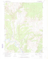
 1971 Pagoda1974 Print · USGSMoffat and Routt Counties are captured here in the early 1970s, showcasing a landscape of high-altitude ranching and mining. Local historians can trace the paths of the Highland Ditch and locate the Cedar Creek Mine or the isolated settlement of Pagoda.4 unique versions available
 - 1971 Map of Rock Spring Gulch, 1974 Print
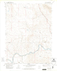
 1971 Rock Spring Gulch1974 Print · USGSNorthwestern Colorado in the early seventies is mapped here at the boundary of Moffat and Routt counties near the winding Yampa River. Trace the network of family-named drainages and early infrastructure like Jimmy Dunn Gulch, Cary Gulch, and the local Radio Tower.
 - 1971 Map of Pilot Knob, 1974 Print
 1971 Pilot Knob1974 Print · USGSRoutt County high country is shown here in the early 1970s before modern developments altered the wilderness character. Trace local history at the Deep Creek Cem or locate the old Block Mine and Drill Hole among the peaks.2 unique versions available
 - 1972 Map of Green Ridge, 1975 Print
 1972 Green Ridge1975 Print · USGSHigh in the Colorado mountains during the early seventies, this map captures the early footprint of the Stagecoach Ski Area. Researchers can trace old routes like the Clear Creek Trail and find family-named landmarks including Simpson Mountain and Lone Spring Butte.2 unique versions available
 - 1972 Map of Mc Coy, 1975 Print
 1972 Mc Coy1975 Print · USGSThe Colorado high country in the early seventies centers on the rail-and-river corridor connecting the small settlements of McCoy and Bond. Genealogists and historians can trace the McCoy Cem, mining Prospects on Yarmony Mountain, and the Denver and Rio Grande Western rail line.3 unique versions available
 - 1972 Map of Yampa, 1975 Print
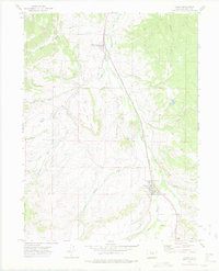 1972 Yampa1975 Print · USGSThe Upper Yampa Valley in the early seventies shows a landscape shaped by the Denver and Rio Grande Western railroad and ranching. Trace local history through the Yampa Cem, the settlement of Phippsburg, and family landmarks like Devil's Grave Mesa.2 unique versions available
 - 1972 Map of Blue Hill, 1975 Print
 1972 Blue Hill1975 Print · USGSRoutt and Eagle Counties meet along the rugged canyon of the Colorado River in the early seventies. Genealogists and historians can trace the Denver and Rio Grande Western rail line past Dell and the Balanced Rock Spring.2 unique versions available
 - 1972 Map of Trapper, 1975 Print
 1972 Trapper1975 Print · USGSHigh-country Routt County comes into focus in the early seventies, detailing the water systems and forest boundaries that define the region. Researchers can trace the Denver and Rio Grande Western rail line and locate landmarks like the Finger Rock Fish Hatchery and Sterner Reservoir.3 unique versions available
 - 1972 Map of Burns North, 1975 Print
 1972 Burns North1975 Print · USGSThe Colorado high country in the early seventies reveals a landscape of remote mountain ranching and forest management. Researchers can trace historic routes like the Ute Trail or locate the Cem near Burns and the riverside D & R G W railroad line.
 - 1972 Map of Toponas, 1976 Print
 1972 Toponas1976 Print · USGSRoutt County ranching and rail infrastructure are well-documented in this early 1970s survey of the Egeria Park area. Researchers can trace the Denver and Rio Grande Western tracks past Toponas and identify remote water features like Kelly Reservoir.3 unique versions available
 - 1973 Map of Davis Peak, 1985 Print
 1973 Davis Peak1985 Print · USGSThe Uncompahgre high country comes into focus in the early 1970s, showing a rugged landscape of mesas and drainage basins. Researchers can trace historic access routes like Transfer Road and the Cushman Trail past Davis Point and Oak Hill.
 - 1977 Map of Orno Peak, 1978 Print
 1977 Orno Peak1978 Print · USGSHigh in the Colorado Rockies during the late seventies, this area shows the essential water infrastructure of the Flat Tops region. Trace historic wilderness routes like the Ute (Pack) Trail and locate remote landmarks such as Orno Peak and Maggies Nipple.3 unique versions available
 - 1977 Map of Dome Peak, 1978 Print
 1977 Dome Peak1978 Print · USGSThe high alpine plateaus of Northwest Colorado are captured here in the late seventies, detailing the remote terrain where Garfield and Eagle counties meet. Researchers can trace the high-country water systems of Lion Basin Ditch and historical paths like the Ute Trail across the Derby Mesa.
Showing maps 1-25 of 27
Top cities of Routt County
- Steamboat Springs historical maps
- Hayden historical maps
- Oak Creek historical maps
- Yampa historical maps
- Phippsburg historical maps
Frequently asked questions
- What are the different types of historical maps available for Routt County?
- What is the oldest map of Routt County?
- Where can I purchase historical maps of Routt County for my home or office?
- Where can I download high-res historical maps of Routt County?
- Are there historical topographic maps available for Routt County?
- Is there historical aerial imagery available for Routt County?
- Where are historical maps of Routt County sourced from?