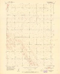
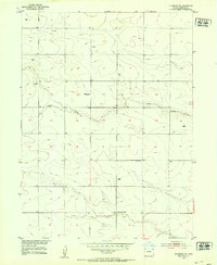
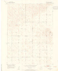
1900s (20th Century) Maps of Sedgwick County, Colorado
Explore 31 historic maps of Sedgwick County from the 1900s (20th Century). These maps offer a rare glimpse into what life looked like during the 1900s — showing old roads, neighborhoods, homes, and landmarks that have changed or disappeared over time.
Whether you're researching your family's past, planning a metal detecting trip, or studying how Sedgwick County's landscape evolved across the 1900s, these high-resolution maps are a powerful tool for exploring the history of this region.
- Focus on a specific era: All maps on this page are from the 1900s, giving you a focused view of this time period.
- See what’s changed: Compare century-old streets, trails, and buildings to today's modern landscape using overlays and satellite layers.
- Research with precision: Use these maps for genealogy, historical research, land use analysis, or educational projects.
- View, download, or print: Maps are fully viewable online in high resolution, and can be downloaded or printed for your own records.
Start exploring Sedgwick County's history through authentic maps from the 1900s. This is your window into the past.
Sedgwick County, CO maps
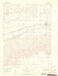
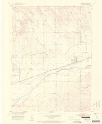
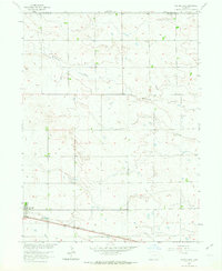
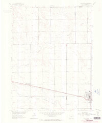
(31)- 1900 Map of Chappell
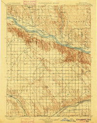 1900 Chappell1900 Print · USGSWestern Nebraska at the dawn of the new century is captured here as a landscape of early irrigation and historic pioneer trails. Trace the path of the Old California Trail past Ash Hollow or locate ranching outposts like Coombe's Ranch and Libbey's Ranch.3 unique versions available
 - 1952 Map of Julesburg SW, 1953 Print
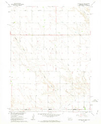
 1952 Julesburg SW1953 Print · USGSSedgwick County in the early fifties reveals a landscape of isolated farmsteads and shifting rural school districts. Researchers can locate the Woodham Cemetery, the curiously named Never Fail School, and several decommissioned sites like Westside School.3 unique versions available
 - 1952 Map of Julesburg SE, 1953 Print
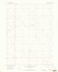
 1952 Julesburg SE1953 Print · USGSSedgwick County's high plains are shown at mid-century as rural school districts and ranching practices were evolving. Researchers can trace the drainage of Sand Draw and locate local landmarks like the Sunny Dale School and the Miller School (Aband).
 - 1952 Map of Marks Butte, 1954 Print
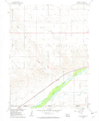
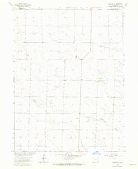
 1952 Marks Butte1954 Print · USGSSedgwick County ranching country is captured here in the early fifties, showing a rural landscape defined by water and wide-open sections. Genealogists and local historians can trace the location of Price Ranch and the site of the Sunrise School (Aband).2 unique versions available
 - 1953 Map of Ovid, 1954 Print
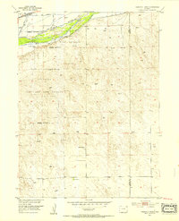
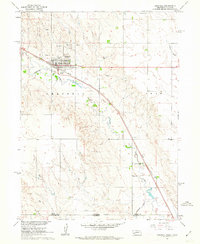
 1953 Ovid1954 Print · USGSThe northern plains of Colorado come alive in this mid-century survey of a bustling railroad and refinery town. Researchers can trace frontier history at the Fort Sedgwick (Ruins) and follow the vital irrigation networks of the Highline Canal and Peterson Ditch.7 unique versions available
 - 1953 Map of Tamarack Ranch, 1954 Print
 1953 Tamarack Ranch1954 Print · USGSThe ranching country of Logan County is captured here in the early fifties, showing a landscape defined by the South Platte River and the vital Union Pacific rail line. Researchers can trace historic water rights and homesteads through Harmony Ditch and family lands like Tamarack Ranch or Yost Ranch.5 unique versions available
 - 1953 Map of Julesburg, 1954 Print
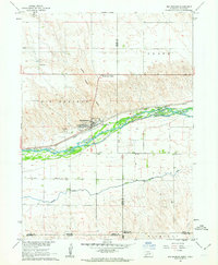
 1953 Julesburg1954 Print · USGSMid-century Sedgwick County comes into focus as a bustling railroad and river corridor. Genealogists and researchers can locate the Ovid Cem, trace the foundations of Fort Julesburg (Ruins), or find the Riverside School (Abandoned).5 unique versions available
 - 1953 Map of Julesburg Reservoir, 1954 Print
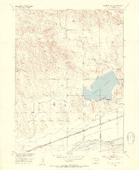 1953 Julesburg Reservoir1954 Print · USGSNear the Logan and Sedgwick county line in the early 1950s, this area centers on the vital Julesburg Reservoir and the South Platte River corridor. Genealogists and historians can trace the Union Pacific rail line through Red Lion and locate the rural Lakeside School.4 unique versions available
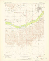
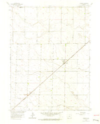
 - 1953 Map of Sedgwick, 1954 Print
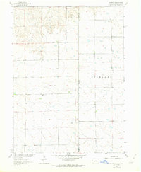
 1953 Sedgwick1954 Print · USGSSettled along the Union Pacific line in the 1950s, this area of northeastern Colorado reveals a complex network of early irrigation. Trace the path of the South Platte River past Sedgwick and follow the routes of the Highline Canal and Settlers Ditch.3 unique versions available
 - 1954 Map of Sterling
 1954 Sterling1954 Print · USGSNortheastern Colorado and the Nebraska borderlands are defined by the river-and-rail corridors of the mid-twentieth century. Researchers can trace the development of agricultural hubs from Sterling and Fort Morgan to smaller rail stops along the Union Pacific and Burlington Northern lines.3 unique versions available
 - 1954 Map of Scottsbluff, 1958 Print
 1954 Scottsbluff1958 Print · USGSThe Nebraska Panhandle's iconic landmarks and rail corridors are captured here during the mid-1950s. Researchers can trace the path of the North Platte River past Chimney Rock or locate the sprawling Sioux Ordnance Depot and the historic streets of Sidney.3 unique versions available
 - 1958 Map of Scottsbluff
 1958 Scottsbluff1958 Print · USGSThe Nebraska panhandle in the late fifties was a vital corridor of rail-and-river transport defined by the North Platte River and the Union Pacific. Genealogists and historians can trace rail stops like Reddus Station, explore the grounds of the Sioux Ordnance Depot, or locate landmarks like Chimney Rock.2 unique versions available
 - 1958 Map of Sterling
 1958 Sterling1958 Print · USGSNortheastern Colorado thrived along the river and rail corridors during the late fifties. Genealogists and historians can trace family-named irrigation works like Davis Brothers Ditch and agricultural hubs from Peetz to Fort Morgan.
 - 1961 Map of Chappell, 1963 Print
 1961 Chappell1963 Print · USGSDeuel County's agricultural and rail heritage is well-preserved in this early 1960s survey of the Nebraska-Colorado border. Researchers can trace the layout of Chappell, locate the rural School No 39, and find family history at the Mennonite Cem.
 - 1961 Map of Barton, 1963 Print
 1961 Barton1963 Print · USGSThe Nebraska-Colorado borderlands come into focus in the early sixties, showing the vital transit and irrigation corridor along the South Platte River. Genealogists and local historians can locate rural landmarks like Plainview Sch, the settlement of Barton, and the extensive network of early Gas Wells.3 unique versions available
 - 1961 Map of Big Springs, 1963 Print
 1961 Big Springs1963 Print · USGSSettlement and irrigation define the Nebraska-Colorado borderlands in the early sixties, centered on the South Platte River. Researchers can trace the Union Pacific rail corridor and find local landmarks like the Big Springs Cem and Cottonwood Corner Sch.2 unique versions available
 - 1961 Map of Chappell SE, 1963 Print
 1961 Chappell SE1963 Print · USGSThe Nebraska-Colorado borderlands come into focus in the early sixties, showing the isolated ranching life of the high plains. Researchers can locate remote rural schoolhouses like Swan Center Sch and School No 41 while tracing irrigation along Peterson Ditch.2 unique versions available
 - 1962 Map of Venango SW, 1963 Print
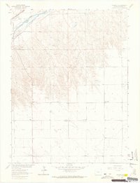
 1962 Venango SW1963 Print · USGSSedgwick County prairie life in the early sixties is preserved here, showing the rural section lines and watercourses of the high plains. You can locate vanished community hubs like Rolling Prairie Sch and South Plainview Sch along the banks of Sand Creek.3 unique versions available
 - 1962 Map of Venango NE, 1963 Print
 1962 Venango NE1963 Print · USGSThe high plains of the Colorado and Nebraska border are captured here in the early sixties, showing the rural section grid of Sedgwick and Perkins counties. Local historians can locate the East Plainview Sch and early industrial sites like several Gravel Pits.
 - 1962 Map of Holyoke NE, 1963 Print
 1962 Holyoke NE1963 Print · USGSPhillips County in the early sixties reveals a landscape of High Plains agriculture and local industry. Genealogists and historians can trace the cultural developments of the era through features like Wildhorse Creek, scattered grain Storage Bins, and the northern Gravel Pits.2 unique versions available
 - 1962 Map of Haxtun East, 1964 Print
 1962 Haxtun East1964 Print · USGSPhillips and Sedgwick Counties are captured here in the early sixties as rural agricultural life centered on the railroad. Genealogists and local historians can trace the original layout of Haxtun, locate the Fairfield Cem, and follow the Chicago Burlington and Quincy rail line.2 unique versions available
 - 1962 Map of Amherst, 1964 Print
 1962 Amherst1964 Print · USGSThe High Plains of Phillips County are captured here in the early sixties, showing the tight relationship between the railroad and local settlement. Genealogists can locate the Amherst Cem and trace the path of the CHICAGO BURLINGTON AND QUINCY railroad through Amherst.3 unique versions available
 - 1962 Map of Venango NW, 1964 Print
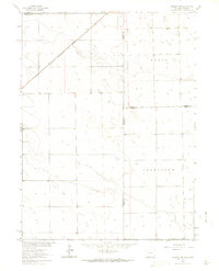
 1962 Venango NW1964 Print · USGSSedgwick County and the adjacent Nebraska borderlands are captured here during the early sixties, showing the vital river and rail corridor. Genealogists and local historians can trace the foundations of rural life at Liberty Sch, the Julesburg Cem, and the County Fairground.3 unique versions available
 - 1962 Map of Amherst NE, 1964 Print
 1962 Amherst NE1964 Print · USGSHigh plains ranching and rail transport define this interstate borderland during the early sixties. Researchers can trace the Chicago Burlington and Quincy rail line and locate the Venango Cem near the Colorado Nebraska line.3 unique versions available
 - 1962 Map of Haxtun West, 1964 Print
 1962 Haxtun West1964 Print · USGSNortheastern Colorado in the early sixties centers on the rail-and-oil economy of Logan and Phillips counties. Genealogists and historians can locate family landmarks in Haxtun and Dailey, or trace the path of the Chicago Burlington and Quincy railroad.2 unique versions available
Showing maps 1-25 of 31
Top cities of Sedgwick County
Frequently asked questions
- What are the different types of historical maps available for Sedgwick County?
- What is the oldest map of Sedgwick County?
- Where can I purchase historical maps of Sedgwick County for my home or office?
- Where can I download high-res historical maps of Sedgwick County?
- Are there historical topographic maps available for Sedgwick County?
- Is there historical aerial imagery available for Sedgwick County?
- Where are historical maps of Sedgwick County sourced from?