
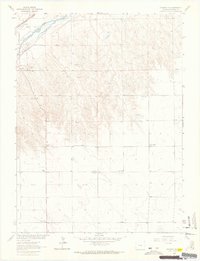
1952 Map of Julesburg SE
USGS Topo · Published 1953About this map
The arid high plains of Sedgwick County, Colorado, are captured here during a period of transition for rural education and land use in the early 1950s. The landscape is dominated by the winding course of Sand Draw, an intermittent drainage that carves through the undulating terrain. Rural life at this time centered on scattered landmarks such as the Sunny Dale School, while the status of the Miller School (Aband) reflects the consolidation of rural school districts occurring across the Missouri River Basin during this era. High points like Sheep and Saddle provide topographic relief in an area otherwise defined by wide-open grazing land. Numerous water-pumping sites, often marked simply as Windmill, are found throughout the sections, highlighting the critical importance of groundwater for sustaining the livestock operations of the Colorado plains.
Find a feature on this map
6 named features on this map. Tap any name to fly to it.
Don’t see what you’re looking for? This feature index may not catch every label — zoom into the map to look around manually.
Map Details
Editions of this 1952 Julesburg SE Map
This is the sole edition of this map. No revisions or reprints were ever made.
Other maps of this area

1952 · Julesburg SW
USGS Topo · 1:24,000

1953 · Ovid
USGS Topo · 1:24,000

1953 · Julesburg
USGS Topo · 1:24,000

1954 · Sterling
USGS Topo · 1:250,000

1958 · Sterling
USGS Topo · 1:250,000

1962 · Venango SW
USGS Topo · 1:24,000

1962 · Holyoke NE
USGS Topo · 1:24,000

1962 · Amherst
USGS Topo · 1:24,000
1962 · Venango NW
USGS Topo · 1:24,000

1962 · Holyoke NW
USGS Topo · 1:24,000