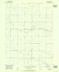
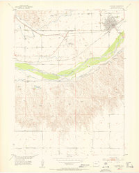
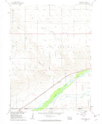
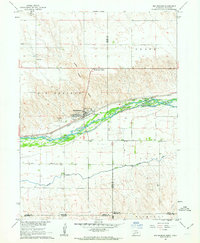
1962 Map of Venango NW
USGS Topo · Published 1964About this map
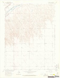
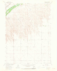
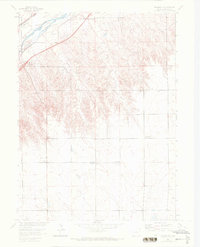
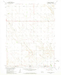
The South Platte River and the Union Pacific railroad define the northwestern corner of this Sedgwick County landscape, marking a vital transit corridor through the plains in the early 1960s. This survey, part of the Missouri River Basin development program, shows a region transitioning from the river valley to the tablelands, bifurcated by the Colorado-Nebraska State Line on its eastern edge. Local social and civic life is anchored by the County Fairground and the Julesburg Cem, while the rural education system is still visible through the presence of Liberty Sch and North Plainview Sch. The land use reflects a mix of traditional ranching, evidenced by the many red-dashed fence lines, and emerging energy interests indicated by several Gas Wells scattered across the township lines.
Find a feature on this map
12 named features on this map. Tap any name to fly to it.
Don’t see what you’re looking for? This feature index may not catch every label — zoom into the map to look around manually.
Map Details
Editions of this 1962 Venango NW Map
3 editions found
Other maps of this area
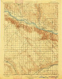
1900 · Chappell
USGS Topo · 1:125,000
1952 · Julesburg SE
USGS Topo · 1:24,000
1953 · Julesburg
USGS Topo · 1:24,000

1954 · Sterling
USGS Topo · 1:250,000

1954 · Scottsbluff
USGS Topo · 1:250,000

1958 · Scottsbluff
USGS Topo · 1:250,000

1958 · Sterling
USGS Topo · 1:250,000
1961 · Barton
USGS Topo · 1:24,000
1961 · Big Springs
USGS Topo · 1:24,000
1961 · Chappell SE
USGS Topo · 1:24,000