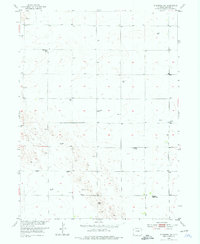
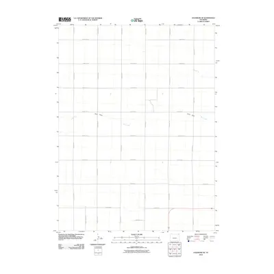
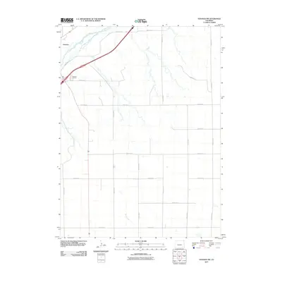
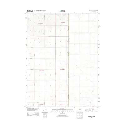
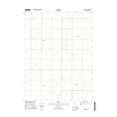
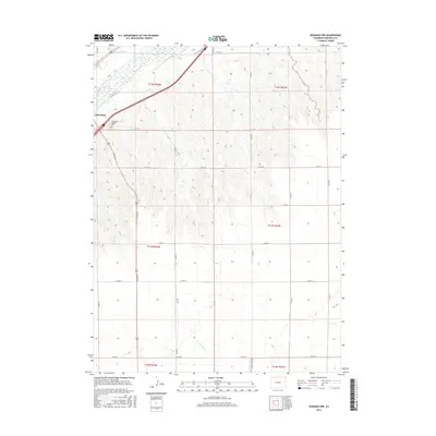
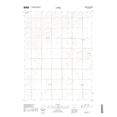
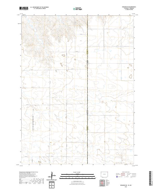
1962 Map of Venango NW
USGS Topo · Published 1972About this map
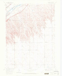
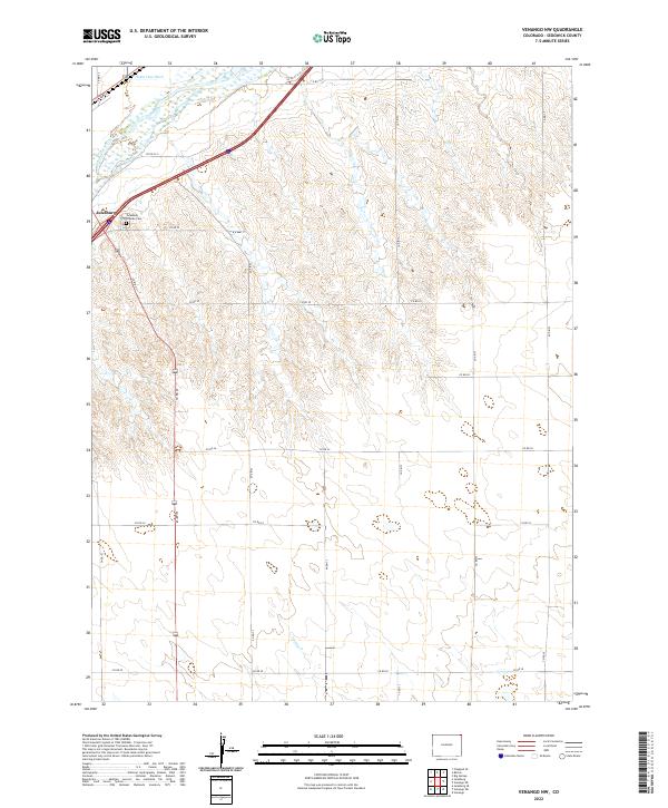
The South Platte River cuts across the northwest corner of this plains landscape, paralleled by the vital Union Pacific rail corridor. This 1962 field-checked survey highlights the rural infrastructure of Sedgwick County, including the County Fairground situated near the Julesburg City Bdy. The map illustrates the region's transition from a river-and-rail economy toward early energy development, marked by the presence of Gas Wells and several Wells scattered across the high ground. Local education centers like Liberty Sch and North Plainview Sch appear as essential landmarks for regional genealogists. This study also documents the precise Colo Nebr State Line, showing how political boundaries intersect with the natural topography and the industrial footprint of a Gravel Pit.
Find a feature on this map
14 named features on this map. Tap any name to fly to it.
Don’t see what you’re looking for? This feature index may not catch every label — zoom into the map to look around manually.
Map Details
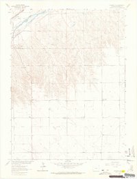
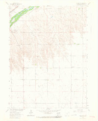
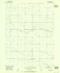
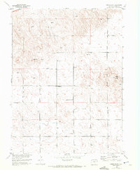
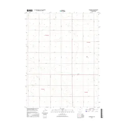
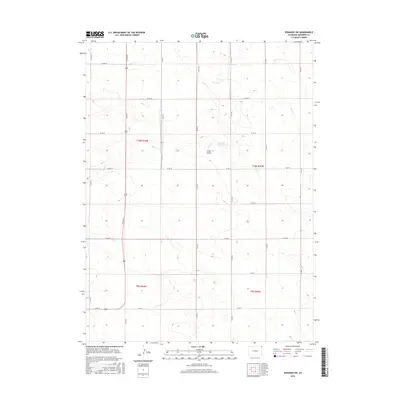
Editions of this 1962 Venango NW Map
3 editions found
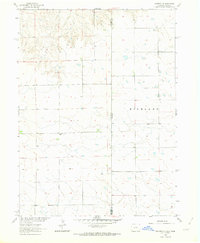
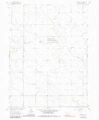
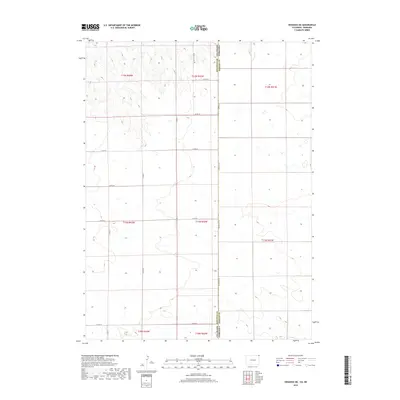
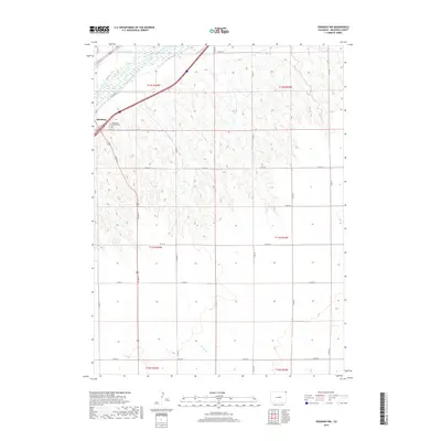
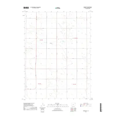
Historical Maps of Julesburg Through Time
36 maps found
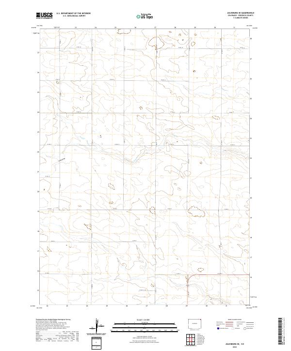
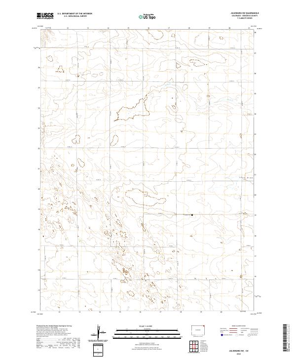
1952 Julesburg SE
Sedgwick County, CO
1952 Julesburg SW
Sedgwick County, CO
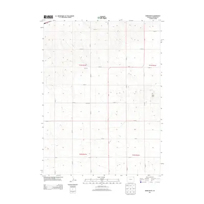
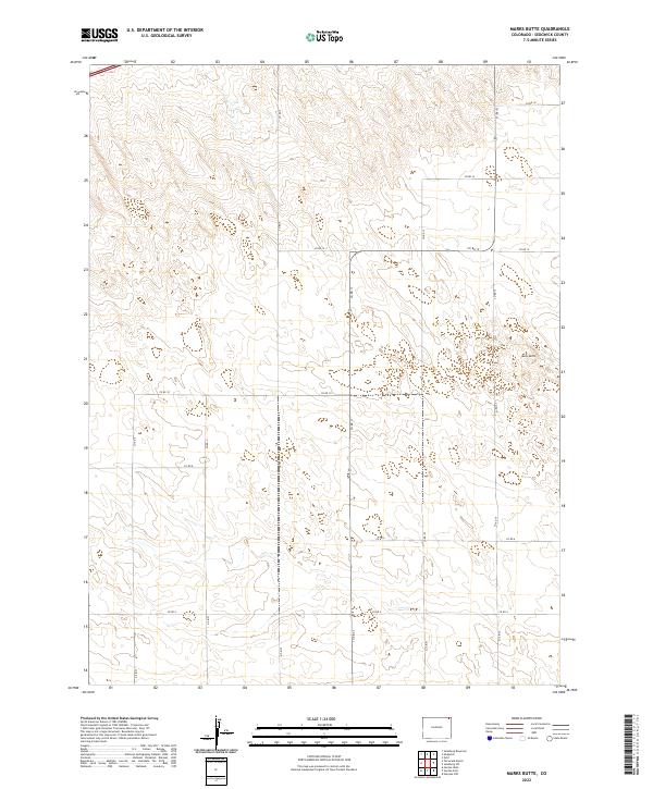
1952 Marks Butte
Sedgwick County, CO
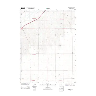
1962 Venango NE
Sedgwick County, CO
1962 Venango NW
Sedgwick County, CO
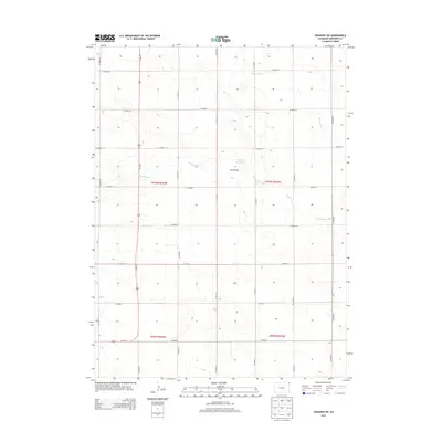
1962 Venango SW
Sedgwick County, CO
2010 Julesburg SE
Sedgwick County, CO
2010 Julesburg SW
Sedgwick County, CO
2010 Marks Butte
Sedgwick County, CO
2010 Venango NE
Sedgwick County, CO
2010 Venango NW
Sedgwick County, CO
2010 Venango SW
Sedgwick County, CO
2013 Julesburg SE
Sedgwick County, CO
2013 Julesburg SW
Sedgwick County, CO
2013 Marks Butte
Sedgwick County, CO
2013 Venango NE
Sedgwick County, CO
2013 Venango NW
Sedgwick County, CO
2013 Venango SW
Sedgwick County, CO
2016 Julesburg SE
Sedgwick County, CO
2016 Julesburg SW
Sedgwick County, CO
2016 Marks Butte
Sedgwick County, CO
2016 Venango NE
Sedgwick County, CO
2016 Venango NW
Sedgwick County, CO
2016 Venango SW
Sedgwick County, CO
2019 Julesburg SE
Sedgwick County, CO
2019 Julesburg SW
Sedgwick County, CO
2019 Marks Butte
Sedgwick County, CO
2019 Venango NE
Sedgwick County, CO
2019 Venango NW
Sedgwick County, CO
2019 Venango SW
Sedgwick County, CO
2022 Julesburg SE
Sedgwick County, CO
2022 Julesburg SW
Sedgwick County, CO
2022 Marks Butte
Sedgwick County, CO
2022 Venango NE
Sedgwick County, CO
2022 Venango NW
Sedgwick County, CO
2022 Venango SW
Sedgwick County, CO