
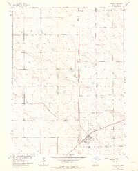
1962 Map of Venango SW
USGS Topo · Published 1963About this map
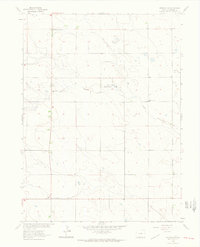
Sand Draw Management Area characterizes the open terrain of Sedgwick County in the early 1960s, showing a landscape defined by seasonal watercourses and rural infrastructure. The map documents the presence of Sand Draw and Sand Creek, which cut through the undulating plains where isolated section lines and unimproved roads provided the primary transport network. Genealogists and local historians will find the specific locations of rural schoolhouses particularly valuable, as both the Rolling Prairie Sch and South Plainview Sch are clearly marked. These small institutions served the dispersed agricultural community before the consolidation of rural school districts, representing the social centers of the prairie at the time of this 1962 field check.
Find a feature on this map
5 named features on this map. Tap any name to fly to it.
Don’t see what you’re looking for? This feature index may not catch every label — zoom into the map to look around manually.
Map Details
Editions of this 1962 Venango SW Map
3 editions found
Other maps of this area

1952 · Julesburg SE
USGS Topo · 1:24,000

1953 · Julesburg
USGS Topo · 1:24,000

1954 · Sterling
USGS Topo · 1:250,000

1958 · Sterling
USGS Topo · 1:250,000
1962 · Venango NE
USGS Topo · 1:24,000

1962 · Holyoke NE
USGS Topo · 1:24,000

1962 · Amherst
USGS Topo · 1:24,000
1962 · Venango NW
USGS Topo · 1:24,000

1962 · Amherst NE
USGS Topo · 1:24,000
1962 · Venango
USGS Topo · 1:24,000