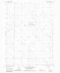
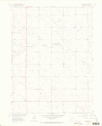
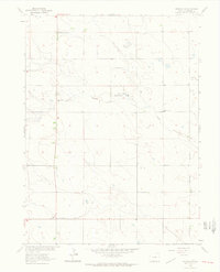
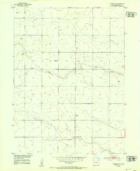
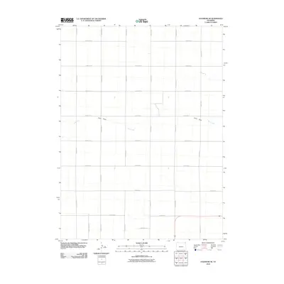
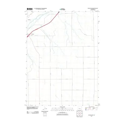
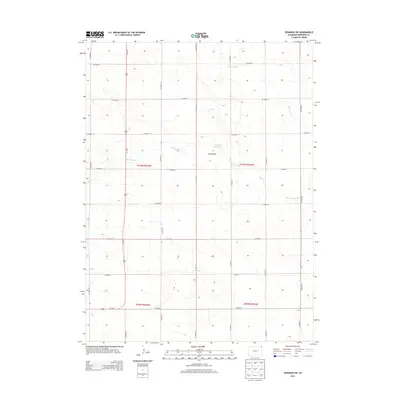
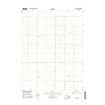
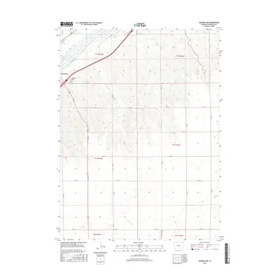
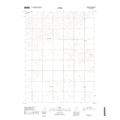
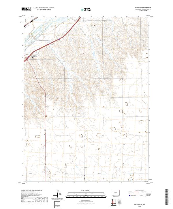
1962 Map of Venango SW
USGS Topo · Published 1983About this map
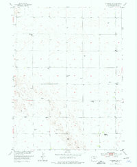
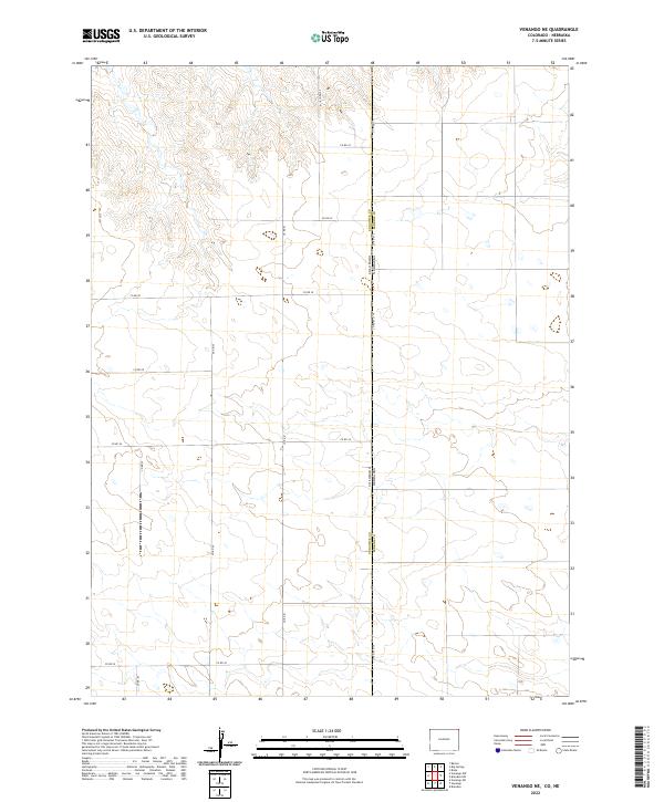
The Sand Draw State Wildlife Area centers this portion of Sedgwick County, capturing the rural character of the High Plains as it appeared during a 1962 field check. This survey, part of the Department of the Interior program for the development of the Missouri River Basin, reveals a landscape defined by intermittent drainage and isolated educational outposts. The presence of the Rolling Prairie Sch and South Plainview Sch indicates the historical distribution of rural school districts across this agricultural terrain. Topographic contours illustrate the subtle relief of the plains, where the seasonal waters of Sand Draw and Sand Creek have carved shallow paths through the sediment. The map provides a clear record of section lines and unimproved dirt roads that connected these remote prairie communities before the modernization of the regional transport network.
Find a feature on this map
5 named features on this map. Tap any name to fly to it.
Don’t see what you’re looking for? This feature index may not catch every label — zoom into the map to look around manually.
Map Details
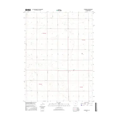
Editions of this 1962 Venango SW Map
3 editions found
Historical Maps of Sedgwick County Through Time
36 maps found
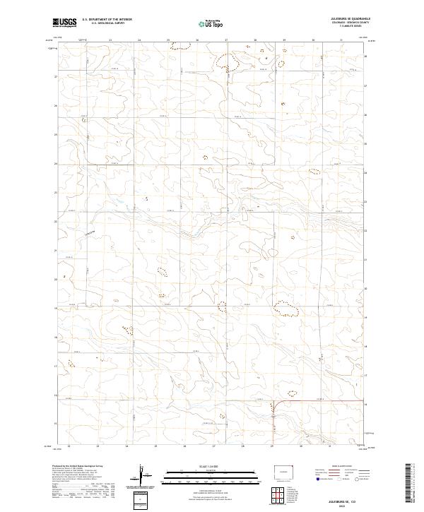
1952 Julesburg SE
Sedgwick County, CO
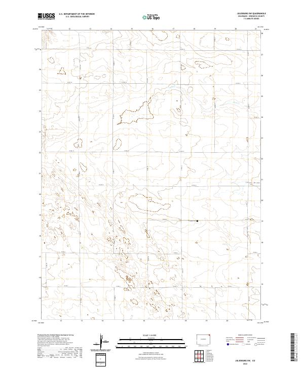
1952 Julesburg SW
Sedgwick County, CO
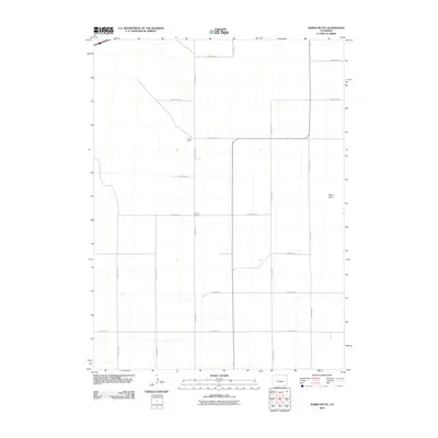
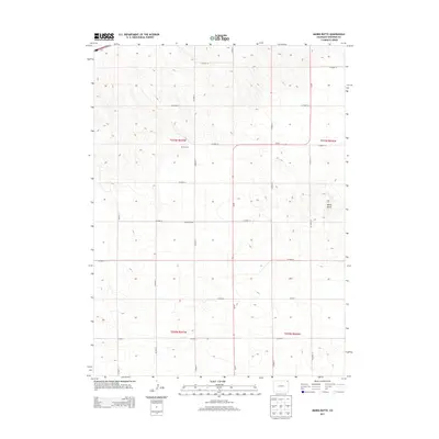
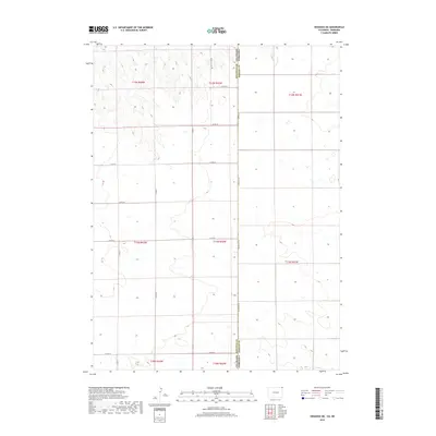
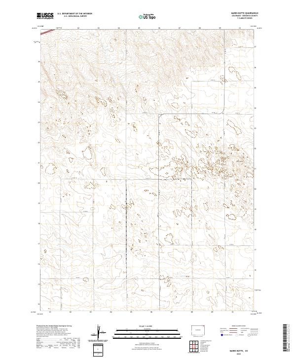
1952 Marks Butte
Sedgwick County, CO
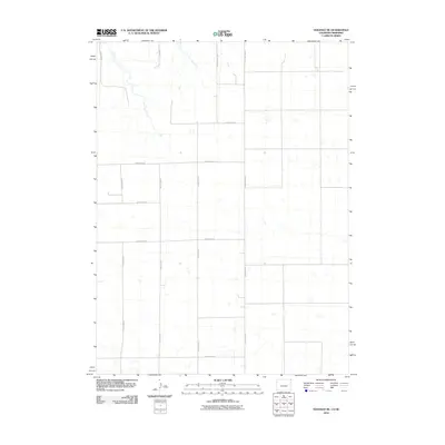
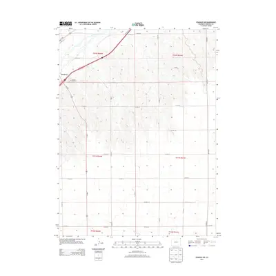
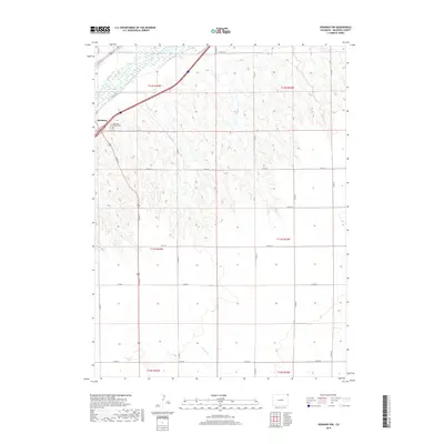
1962 Venango NE
Sedgwick County, CO
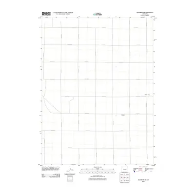
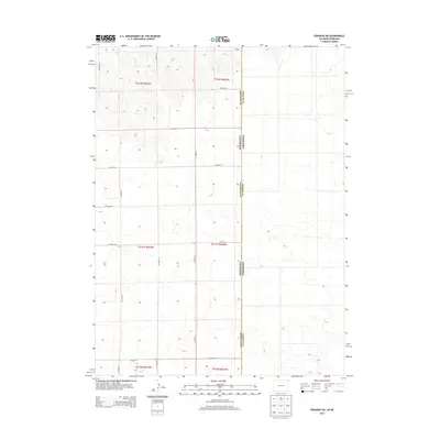
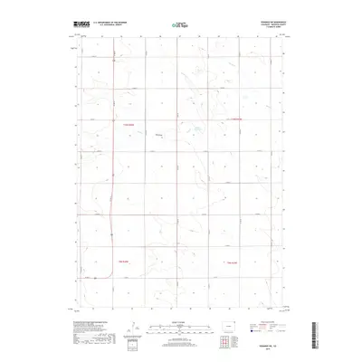
1962 Venango NW
Sedgwick County, CO
1962 Venango SW
Sedgwick County, CO
2010 Julesburg SE
Sedgwick County, CO
2010 Julesburg SW
Sedgwick County, CO
2010 Marks Butte
Sedgwick County, CO
2010 Venango NE
Sedgwick County, CO
2010 Venango NW
Sedgwick County, CO
2010 Venango SW
Sedgwick County, CO
2013 Julesburg SE
Sedgwick County, CO
2013 Julesburg SW
Sedgwick County, CO
2013 Marks Butte
Sedgwick County, CO
2013 Venango NE
Sedgwick County, CO
2013 Venango NW
Sedgwick County, CO
2013 Venango SW
Sedgwick County, CO
2016 Julesburg SE
Sedgwick County, CO
2016 Julesburg SW
Sedgwick County, CO
2016 Marks Butte
Sedgwick County, CO
2016 Venango NE
Sedgwick County, CO
2016 Venango NW
Sedgwick County, CO
2016 Venango SW
Sedgwick County, CO
2019 Julesburg SE
Sedgwick County, CO
2019 Julesburg SW
Sedgwick County, CO
2019 Marks Butte
Sedgwick County, CO
2019 Venango NE
Sedgwick County, CO
2019 Venango NW
Sedgwick County, CO
2019 Venango SW
Sedgwick County, CO
2022 Julesburg SE
Sedgwick County, CO
2022 Julesburg SW
Sedgwick County, CO
2022 Marks Butte
Sedgwick County, CO
2022 Venango NE
Sedgwick County, CO
2022 Venango NW
Sedgwick County, CO
2022 Venango SW
Sedgwick County, CO