2020s Maps of Columbia County, Florida
Explore 46 historic maps of Columbia County from the 2020s. These maps offer a rare glimpse into what life looked like during the 2020s — showing old roads, neighborhoods, homes, and landmarks that have changed or disappeared over time.
Whether you're researching your family's past, planning a metal detecting trip, or studying how Columbia County's landscape evolved across the 2020s, these high-resolution maps are a powerful tool for exploring the history of this region.
- Focus on a specific era: All maps on this page are from the 2020s, giving you a focused view of this time period.
- See what’s changed: Compare century-old streets, trails, and buildings to today's modern landscape using overlays and satellite layers.
- Research with precision: Use these maps for genealogy, historical research, land use analysis, or educational projects.
- View, download, or print: Maps are fully viewable online in high resolution, and can be downloaded or printed for your own records.
Start exploring Columbia County's history through authentic maps from the 2020s. This is your window into the past.
Columbia County, FL maps
(46)- 2020 Map of Council, 2020 Print
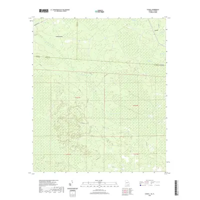 2020 Council2020 Print · USGSCovers Columbia County, including Council, Echols County, and other nearby areas
 - 2021 Map of Columbia, 2021 Print
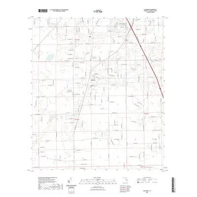 2021 Columbia2021 Print · USGSCovers Columbia County, including Bass, Columbia, and other nearby areas
 - 2021 Map of Lulu, 2021 Print
 2021 Lulu2021 Print · USGSCovers Columbia County, including Cliftonville, Lulu, and other nearby areas
 - 2021 Map of Sargent, 2021 Print
 2021 Sargent2021 Print · USGSCovers Columbia County, including Rockvil, Ware County, and other nearby areas
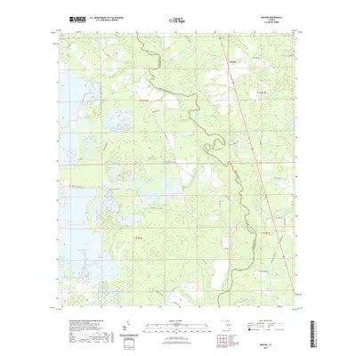
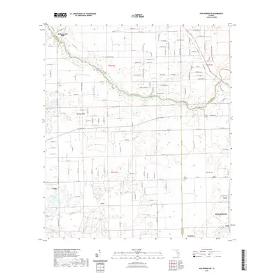
 - 2021 Map of White Springs West, 2021 Print
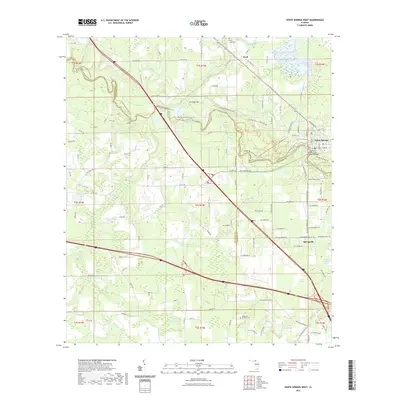 2021 White Springs West2021 Print · USGSCovers Columbia County, including White Springs, Springville, and other nearby areas
 - 2021 Map of Ellisville, 2021 Print
 2021 Ellisville2021 Print · USGSCovers Columbia County, including Ebenezer, Providence, and other nearby areas
 - 2021 Map of Wellborn, 2021 Print
 2021 Wellborn2021 Print · USGSCovers Columbia County, including Wellborn, Welborn, and other nearby areas
 - 2021 Map of White Springs East, 2021 Print
 2021 White Springs East2021 Print · USGSCovers Columbia County, including White Springs, Winfield, and other nearby areas
 - 2021 Map of High Springs, 2021 Print
 2021 High Springs2021 Print · USGSCovers Columbia County, including Alachua, High Springs, and other nearby areas
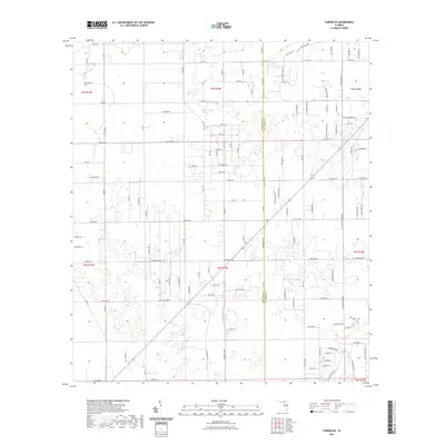
 - 2021 Map of Benton, 2021 Print
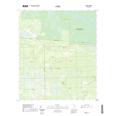
 2021 Benton2021 Print · USGSCovers Columbia County, including Benton, Hamilton County, and other nearby areas
 - 2021 Map of O'Brien SE, 2021 Print
 2021 O'Brien SE2021 Print · USGSCovers Columbia County, including Suwannee County, United States, and other nearby areas
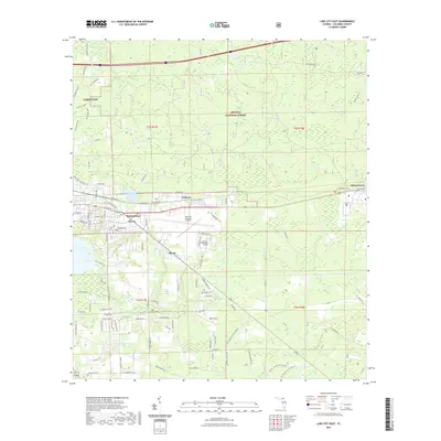
 - 2021 Map of Lake City West, 2021 Print
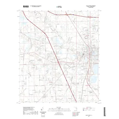 2021 Lake City West2021 Print · USGSCovers Columbia County, including Lake City, Five Points, and other nearby areas
 - 2021 Map of Fargo SW, 2021 Print
 2021 Fargo SW2021 Print · USGSCovers Columbia County, including Watson, Hamilton County, and other nearby areas
 - 2021 Map of Fort White, 2021 Print
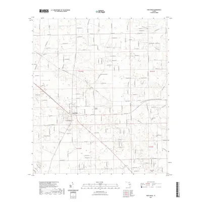 2021 Fort White2021 Print · USGSCovers Columbia County, including Fort White, Gilchrist County, and other nearby areas
 - 2021 Map of Hildreth, 2021 Print
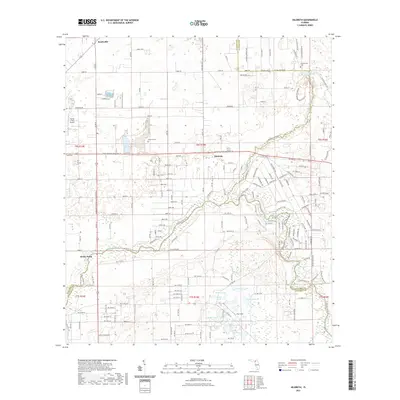 2021 Hildreth2021 Print · USGSCovers Columbia County, including Beachville, Sandy Point, and other nearby areas
 - 2021 Map of Mikesville, 2021 Print
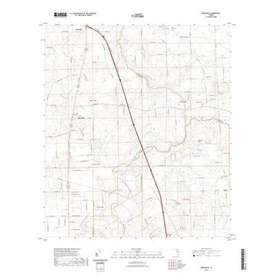 2021 Mikesville2021 Print · USGSCovers Columbia County, including Mikesville, Alachua County, and other nearby areas
 - 2021 Map of High Springs SW, 2021 Print
 2021 High Springs SW2021 Print · USGSCovers Columbia County, including High Springs, Hollingsworth Bluff, and other nearby areas
 - 2021 Map of Sanderson NW, 2021 Print
 2021 Sanderson NW2021 Print · USGSCovers Columbia County, including Baker County, United States, and other nearby areas
 - 2021 Map of Deep Creek, 2021 Print
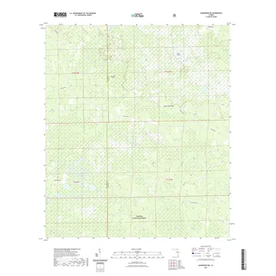
 2021 Deep Creek2021 Print · USGSCovers Columbia County, including Deep Creek, Greenfield, and other nearby areas
 - 2021 Map of Olustee, 2021 Print
 2021 Olustee2021 Print · USGSCovers Columbia County, including Olustee, Baker County, and other nearby areas
 - 2021 Map of Big Gum Swamp, 2021 Print
 2021 Big Gum Swamp2021 Print · USGSCovers Columbia County, including Baker County, United States, and other nearby areas
 - 2021 Map of Fairview, 2021 Print
 2021 Fairview2021 Print · USGSCovers Columbia County, including Fairview, United States, and other nearby areas
 - 2021 Map of Lake City East, 2021 Print
 2021 Lake City East2021 Print · USGSCovers Columbia County, including Lake City, McColskey, and other nearby areas
 - 2024 Map of Council, 2024 Print
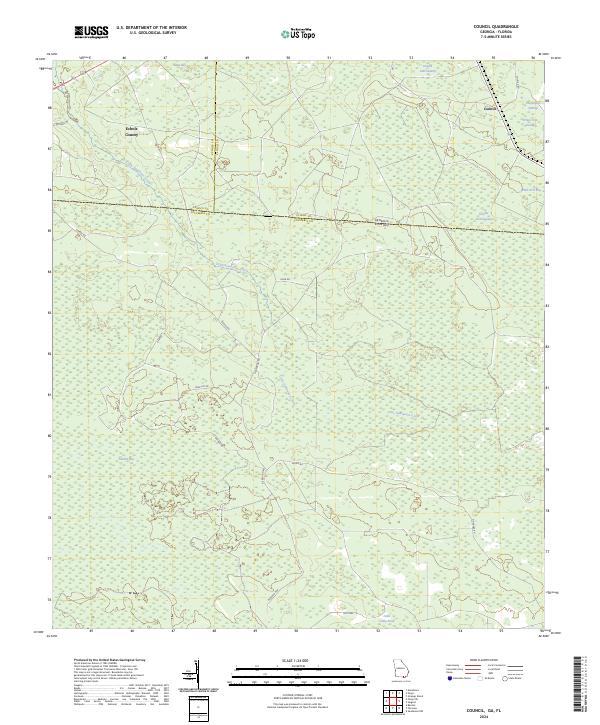 2024 Council2024 Print · USGSThe Georgia-Florida borderlands near Council are documented in this recent survey, showcasing the rural landscape at the edge of the swamp. Trace the winding path of Little Suwannee Creek or locate local landmarks like Sandlin Bay and the Okefenokee National Wildlife Refuge.
 - 2024 Map of Fargo SW, 2024 Print
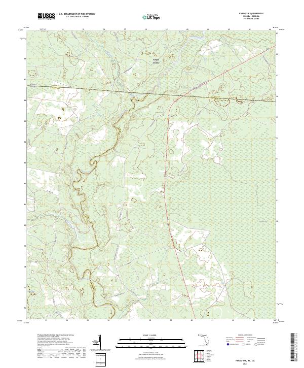 2024 Fargo SW2024 Print · USGSThe Florida-Georgia borderlands along the Suwannee River are captured here in the 2020s, showing a landscape defined by water and woods. Researchers can trace rural routes through Sandlin Bay or follow the Upper Suwannee River Trl as it winds through this tri-county intersection.
Showing maps 1-25 of 46
Top cities of Columbia County
Frequently asked questions
- What are the different types of historical maps available for Columbia County?
- What is the oldest map of Columbia County?
- Where can I purchase historical maps of Columbia County for my home or office?
- Where can I download high-res historical maps of Columbia County?
- Are there historical topographic maps available for Columbia County?
- Is there historical aerial imagery available for Columbia County?
- Where are historical maps of Columbia County sourced from?