Old Maps of Columbia County, Florida for Hiking & Exploration
Hike through history with 70 historic maps of Columbia County. Explore old trails, ghost towns, and forgotten backroads — perfect for outdoor adventurers and local explorers.
- Rediscover forgotten places: Map out old mining camps, roads, and footpaths that no longer exist on modern maps.
- Layer with modern tools: Combine with LiDAR or satellite views to plan hikes through historical terrain.
- Made for exploration: Popular among hikers, overlanders, and local history lovers.
Use these maps to find adventure and explore the hidden past of Columbia County.
Columbia County, FL maps
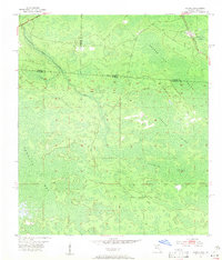
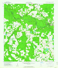
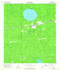
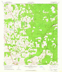
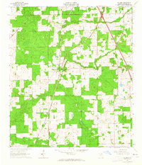
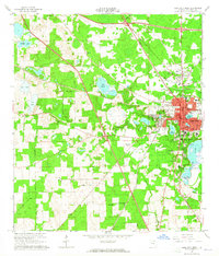
(70)- 1954 Map of Gainesville, 1965 Print
 1954 Gainesville1965 Print · USGSCovers Columbia County, including Gainesville, Ocala, and other nearby areas3 unique versions available
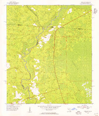
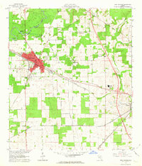
 - 1954 Map of Valdosta, 1967 Print
 1954 Valdosta1967 Print · USGSCovers Columbia County, including Jacksonville, Valdosta, and other nearby areas2 unique versions available
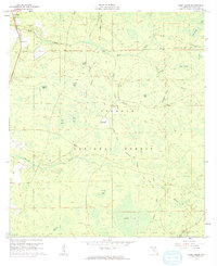
 - 1955 Map of Council, 1956 Print
 1955 Council1956 Print · USGSCovers Columbia County, including Council, Clinch County, and other nearby areas4 unique versions available
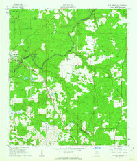
 - 1955 Map of Fargo SW, 1956 Print
 1955 Fargo SW1956 Print · USGSCovers Columbia County, including Watson, Hamilton County, and other nearby areas4 unique versions available
 - 1956 Map of Sargent, 1957 Print
 1956 Sargent1957 Print · USGSCovers Columbia County, including Rockvil, Ware County, and other nearby areas
 - 1958 Map of Valdosta
 1958 Valdosta1958 Print · USGSCovers Columbia County, including Jacksonville, Valdosta, and other nearby areas
 - 1958 Map of Gainesville
 1958 Gainesville1958 Print · USGSCovers Columbia County, including Gainesville, Ocala, and other nearby areas
 - 1959 Map of Valdosta
 1959 Valdosta1959 Print · USGSCovers Columbia County, including Jacksonville, Valdosta, and other nearby areas
 - 1959 Map of Gainesville
 1959 Gainesville1959 Print · USGSCovers Columbia County, including Gainesville, Ocala, and other nearby areas
 - 1961 Map of Deep Creek, 1962 Print
 1961 Deep Creek1962 Print · USGSCovers Columbia County, including Greenfield, Deep Creek, and other nearby areas2 unique versions available
 - 1961 Map of White Springs East, 1963 Print
 1961 White Springs East1963 Print · USGSCovers Columbia County, including White Springs, Suwannee Valley, and other nearby areas3 unique versions available
 - 1961 Map of White Springs West, 1963 Print
 1961 White Springs West1963 Print · USGSCovers Columbia County, including White Springs, Springville, and other nearby areas3 unique versions available
 - 1962 Map of High Springs, 1963 Print
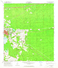
 1962 High Springs1963 Print · USGSCovers Columbia County, including Alachua, High Springs, and other nearby areas5 unique versions available
 - 1962 Map of Lake City East, 1964 Print
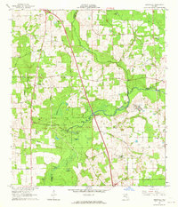
 1962 Lake City East1964 Print · USGSCovers Columbia County, including Lake City, McColsky, and other nearby areas3 unique versions available
 - 1962 Map of Mikesville, 1964 Print
 1962 Mikesville1964 Print · USGSCovers Columbia County, including Mikesville, Alachua County, and other nearby areas3 unique versions available
 - 1963 Map of Olustee, 1964 Print
 1963 Olustee1964 Print · USGSCovers Columbia County, including Olustee, Baker County, and other nearby areas3 unique versions available
 - 1963 Map of Ellisville, 1964 Print
 1963 Ellisville1964 Print · USGSCovers Columbia County, including Providence, Mason, and other nearby areas2 unique versions available
 - 1963 Map of Columbia, 1965 Print
 1963 Columbia1965 Print · USGSCovers Columbia County, including Columbia, Bass, and other nearby areas2 unique versions available
 - 1963 Map of Lake City West, 1965 Print
 1963 Lake City West1965 Print · USGSCovers Columbia County, including Lake City, Lacymark, and other nearby areas2 unique versions available
 - 1966 Map of Lulu, 1967 Print
 1966 Lulu1967 Print · USGSCovers Columbia County, including Cliftonville, Lulu, and other nearby areas2 unique versions available
 - 1967 Map of Sargent, 1968 Print
 1967 Sargent1968 Print · USGSCovers Columbia County, including Rockvil, Ware County, and other nearby areas
 - 1968 Map of Hildreth, 1971 Print
 1968 Hildreth1971 Print · USGSCovers Columbia County, including Beachville, Sandy Point, and other nearby areas4 unique versions available
 - 1969 Map of Wellborn, 1971 Print
 1969 Wellborn1971 Print · USGSCovers Columbia County, including Welborn, Wellborn, and other nearby areas
 - 1969 Map of Sanderson NW, 1971 Print
 1969 Sanderson NW1971 Print · USGSCovers Columbia County, including Baker County, United States, and other nearby areas3 unique versions available
 - 1969 Map of Benton, 1971 Print
 1969 Benton1971 Print · USGSCovers Columbia County, including Benton, Hamilton County, and other nearby areas3 unique versions available
Showing maps 1-25 of 70
Top cities of Columbia County
Frequently asked questions
- What are the different types of historical maps available for Columbia County?
- What is the oldest map of Columbia County?
- Where can I purchase historical maps of Columbia County for my home or office?
- Where can I download high-res historical maps of Columbia County?
- Are there historical topographic maps available for Columbia County?
- Is there historical aerial imagery available for Columbia County?
- Where are historical maps of Columbia County sourced from?