
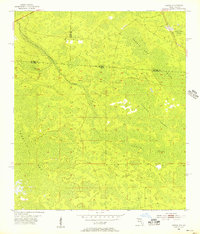
1955 Map of Council
USGS Topo · Published 1956About this map
The settlement of Council anchors the northeastern corner of this landscape, situated along the Southern railway line just as it crosses into the deep wetlands of the Georgia-Florida borderlands. This 1955 survey documents a region dominated by vast hydrographic systems, including the headwaters and drainage of Little Suwannee Creek. The terrain is characterized by a series of significant basins and wetlands, most notably Pinhook Swamp, Double Run Swamp, and White Arm Swamp.
Find a feature on this map
17 named features on this map. Tap any name to fly to it.
Don’t see what you’re looking for? This feature index may not catch every label — zoom into the map to look around manually.
Map Details
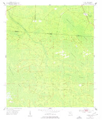
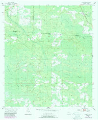
Editions of this 1955 Council Map
4 editions found
Other maps of this area

1954 · Valdosta
USGS Topo · 1:250,000

1955 · Fargo SW
USGS Topo · 1:24,000

1956 · Sargent
USGS Topo · 1:24,000

1958 · Valdosta
USGS Topo · 1:250,000

1959 · Valdosta
USGS Topo · 1:250,000

1967 · Strange Island
USGS Topo · 1:24,000

1967 · Sargent
USGS Topo · 1:24,000

1967 · Fargo
USGS Topo · 1:24,000

1968 · Needmore
USGS Topo · 1:24,000

1969 · Sanderson NW
USGS Topo · 1:24,000