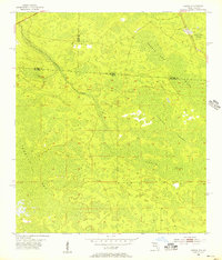
1955 Map of Council
USGS Topo · Published 1956About this map
Council stands at the northern edge of this 1955 survey, situated where the Southern railroad line crosses the border between Georgia and Florida. The landscape is defined by the vast, interconnected wetlands of the Suwannee River basin, including the northern reaches of San Pedro Bay and the extensive Pinhook Swamp. This borderland region, where the lines of Clinch, Echols, and Columbia Counties meet, shows a territory primarily shaped by hydrology and the timber-focused geography of the deep south. Navigable features within the drainage system include the clear demarcations of Double Run and the curiously named Watson Line Creek, which reflects the historical surveying of the interstate boundary. This map preserves the mid-century character of this remote corridor before significant modern drainage or development altered the flow of the White Arm Swamp.
Find a feature on this map
13 named features on this map. Tap any name to fly to it.
Don’t see what you’re looking for? This feature index may not catch every label — zoom into the map to look around manually.
Map Details
Editions of this 1955 Council Map
4 editions found
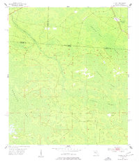
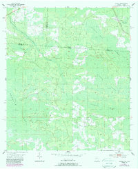
Other maps of this area

1954 · Valdosta
USGS Topo · 1:250,000

1955 · Council
USGS Topo · 1:24,000

1955 · Fargo SW
USGS Topo · 1:24,000

1956 · Sargent
USGS Topo · 1:24,000

1958 · Valdosta
USGS Topo · 1:250,000

1959 · Valdosta
USGS Topo · 1:250,000

1967 · Strange Island
USGS Topo · 1:24,000

1967 · Sargent
USGS Topo · 1:24,000

1967 · Fargo
USGS Topo · 1:24,000

1968 · Needmore
USGS Topo · 1:24,000