
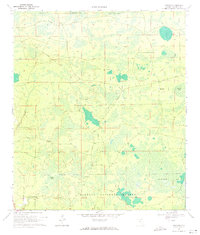
1955 Map of Fargo SW
USGS Topo · Published 1956About this map
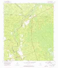
The Suwannee River snakes southward through this mid-1950s survey of the Florida-Georgia borderlands, defining the boundary between Hamilton and Columbia counties. The landscape is dominated by the sprawling wetlands of Sandlin Bay and the smaller Bear Bay, interspersed with numerous small ponds and lakes such as Brown Lake. Settlement is sparse in this water-rich environment, with the rural Hopewell Ch and a Lookout Tower serving as the primary community landmarks.
Find a feature on this map
15 named features on this map. Tap any name to fly to it.
Don’t see what you’re looking for? This feature index may not catch every label — zoom into the map to look around manually.
Map Details
Editions of this 1955 Fargo SW Map
4 editions found
Other maps of this area

1954 · Valdosta
USGS Topo · 1:250,000

1955 · Council
USGS Topo · 1:24,000

1955 · Cypress Creek
USGS Topo · 1:24,000

1958 · Valdosta
USGS Topo · 1:250,000

1959 · Valdosta
USGS Topo · 1:250,000

1962 · Genoa
USGS Topo · 1:24,000

1967 · Fargo
USGS Topo · 1:24,000

1968 · Needmore
USGS Topo · 1:24,000
1969 · Benton
USGS Topo · 1:24,000
1969 · Fairview
USGS Topo · 1:24,000