Loading...
Loading map...1955 Map of Fargo SW
USGS Topo · Published 1987About this map
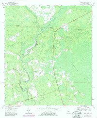
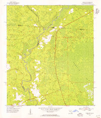
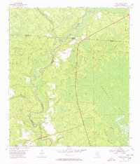
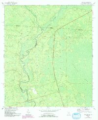
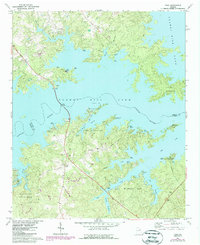
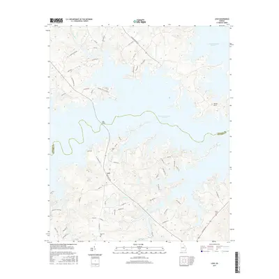
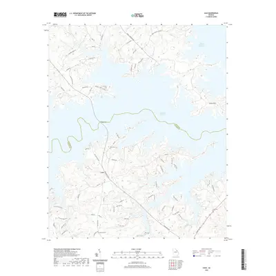
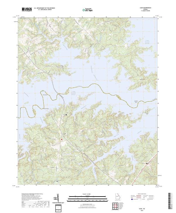
The Suwannee River carves a winding path through this dense wetland landscape on the border of Georgia and Florida. This mid-century survey reveals a territory defined more by its water and swamps than by its settlements, with large tracts like Sandlin Bay and Bear Bay dominating the eastern and southern reaches. The Watson Line is visible here, marking a significant historical boundary in the region's surveying history.
Find a feature on this map
15 named features on this map. Tap any name to fly to it.
Don’t see what you’re looking for? This feature index may not catch every label — zoom into the map to look around manually.
Map Details
Date Portrayed1955
Date Published1987
PublisherU.S. Geological Survey
Map TypeTopographic
Scale1:24,000
Physical Dimensions22 x 27 inches
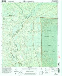
Editions of this 1955 Fargo SW Map
4 editions found
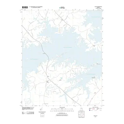
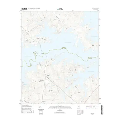
Historical Maps of Watson Through Time
8 maps found
Featured Locations
Source Details
SourceU.S. Geological Survey
CopyrightPublic Domain