2010s Maps of Hendry County, Florida
Explore 81 historic maps of Hendry County from the 2010s. These maps offer a rare glimpse into what life looked like during the 2010s — showing old roads, neighborhoods, homes, and landmarks that have changed or disappeared over time.
Whether you're researching your family's past, planning a metal detecting trip, or studying how Hendry County's landscape evolved across the 2010s, these high-resolution maps are a powerful tool for exploring the history of this region.
- Focus on a specific era: All maps on this page are from the 2010s, giving you a focused view of this time period.
- See what’s changed: Compare century-old streets, trails, and buildings to today's modern landscape using overlays and satellite layers.
- Research with precision: Use these maps for genealogy, historical research, land use analysis, or educational projects.
- View, download, or print: Maps are fully viewable online in high resolution, and can be downloaded or printed for your own records.
Start exploring Hendry County's history through authentic maps from the 2010s. This is your window into the past.
Hendry County, FL maps
(81)- 2012 Map of Sears, 2012 Print
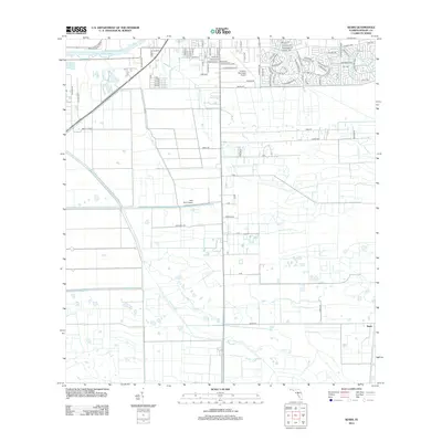 2012 Sears2012 Print · USGSLaBelle and the surrounding Hendry County agricultural lands are captured here in the early twenty-first century as citrus groves and aviation centers define the region. Researchers can trace the local landscape through features like the Sears settlement, Bob Paul Airport, and Berry Citrus groves.
- 2012 Map of Doctors Hammock, 2012 Print
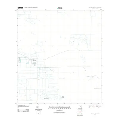 2012 Doctors Hammock2012 Print · USGSFlorida's interior wetlands near the Hendry-Collier border are documented here in the early twenty-first century. Researchers can trace the sophisticated canal systems surrounding Doctors Hammock, Dozier Hammock, and the Hendry Correctional Institute Airport.
- 2012 Map of Felda, 2012 Print
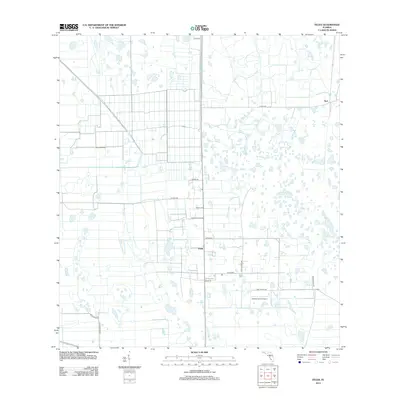 2012 Felda2012 Print · USGSThe rural agricultural lands of Hendry County are captured here just over a decade ago, showing a landscape defined by large-scale farming and private ranching. You can trace local family land use and heritage through labels like Felda, Duda Airstrip, and Willis Ranch Rd.
- 2012 Map of Lake Hicpochee, 2012 Print
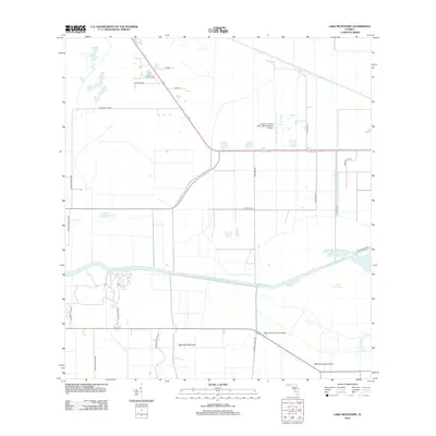 2012 Lake Hicpochee2012 Print · USGSThe northern reaches of the Everglades in the early twenty-first century are defined by large-scale water management and rural aviation. Trace local landmarks like the Negro Jim Hammock Bridge, the Caloosahatchee Canal, and the Graham Landing Strip - Moore Haven Airport.
- 2012 Map of Sunniland, 2012 Print
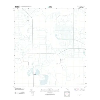 2012 Sunniland2012 Print · USGSThe agricultural interior of Florida is captured in the early twenty-first century, showing a landscape defined by irrigation and drainage. Researchers can trace land use patterns around Sunniland and Harker, and locate landmarks like Owl Hammock and Roberts Lake.
- 2012 Map of Crows Nest Hammock, 2012 Print
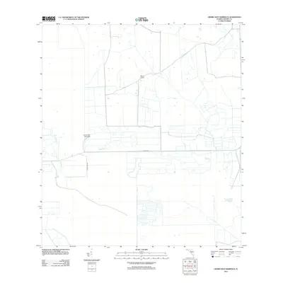 2012 Crows Nest Hammock2012 Print · USGSHendry County's inland landscape appears in the early twenty-first century as a mix of natural hammocks and engineered agricultural plots. Trace the local road network connecting Dinner Island and Crows Nest Hammock or locate the remote Rocky Lake.
- 2012 Map of Moore Haven, 2012 Print
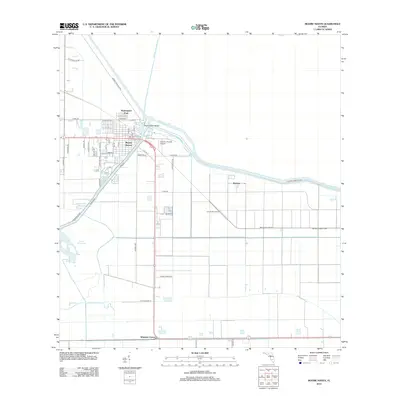 2012 Moore Haven2012 Print · USGSMoore Haven sat at the heart of Florida's water management system during the early twenty-first century. Researchers can trace the engineering of the Herbert Hoover Dyke and locate settlements like Washington Park and Whidden Corner.
- 2012 Map of Cow Bone Island, 2012 Print
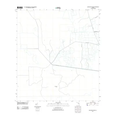 2012 Cow Bone Island2012 Print · USGSCollier County in the early twenty-first century reveals a landscape of ranching and water management. Researchers can trace land divisions and local history through landmarks like McDaniels Rnch, Billy Fraser Rd, and the W Feeder Canal.
- 2012 Map of Devils Garden Slough, 2012 Print
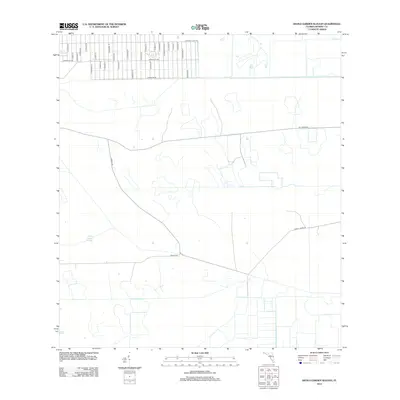 2012 Devils Garden Slough2012 Print · USGSIn the early 2010s, this pocket of Hendry County shows a transition from a planned residential grid to the wetlands of Devils Garden Slough. Local researchers can trace the layout of street networks like Appaloosa Ave and Orange Ave.
- 2012 Map of Alva, 2012 Print
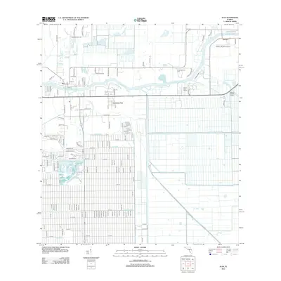 2012 Alva2012 Print · USGSFlorida's riverfront and agricultural heartland are detailed here in the early twenty-first century as the region continued its growth. Genealogists and local researchers can trace family lands near Alva, locate the United Methodist Camp, or map the intricate reach of the West-Easy Canal and Spanish Cr.
- 2012 Map of La Belle, 2012 Print
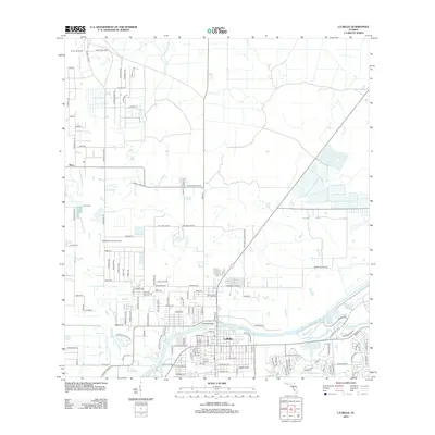 2012 La Belle2012 Print · USGSThe riverfront town of LaBelle is documented in this early twenty-first-century survey as it sits along the Caloosahatchee River. Researchers can trace the development of local landmarks like the Lykes Lookout Tower and the Port La Belle Marina.
- 2012 Map of Goodno, 2012 Print
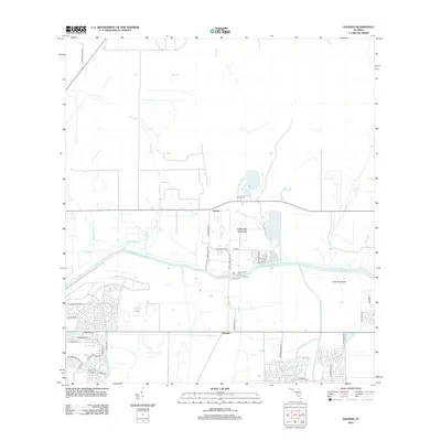 2012 Goodno2012 Print · USGSGlades County's river-driven landscape is captured here in the early twenty-first century as modern residential grids began meeting old Florida hammocks. Genealogists and local historians can trace the grounds of Ortona Cem and the settlement at Goodno along the Caloosahatchee River.
- 2012 Map of Felda NE, 2012 Print
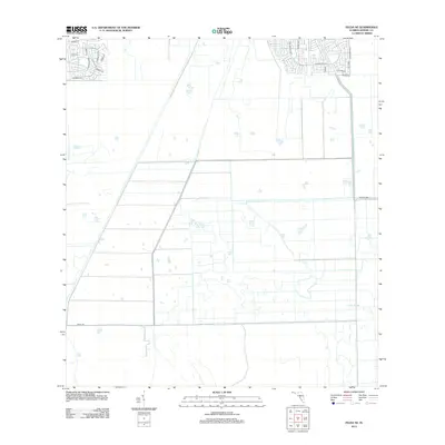 2012 Felda NE2012 Print · USGSCoastal development patterns meet interior agricultural lands in this 2012 study of the Florida-Hendry county line area. Trace the suburban expansion along Wellington Pkwy and Lexington Blvd as they border the wetlands of Collins Slough.
- 2012 Map of Telegraph Swamp SE, 2012 Print
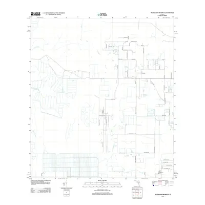 2012 Telegraph Swamp SE2012 Print · USGSThe rural expansion of Lee County is visible in this early 2010s survey, showing a landscape defined by drainage and development. Researchers can trace local landmarks like Fort Denaud Cem, South Point Airport, and the waters of Jacks Lake.
- 2012 Map of Immokalee NE, 2012 Print
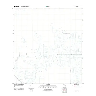 2012 Immokalee NE2012 Print · USGSCollier County’s agricultural landscape is seen here during a period of intensive land management and infrastructure growth. Researchers can trace the development of local transit routes such as Dupree Grade, Co Rd 858, and Thorp Rd.
- 2012 Map of Alva SE, 2012 Print
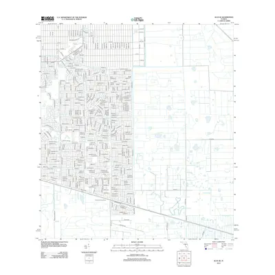 2012 Alva SE2012 Print · USGSResidential development expands into the Florida interior during the early twenty-first century. Genealogists and researchers can trace local infrastructure through the Corkscrew Lookout Tower, Able Canal, and numerous named streets like Golfside Village Dr.
- 2012 Map of Clewiston South, 2012 Print
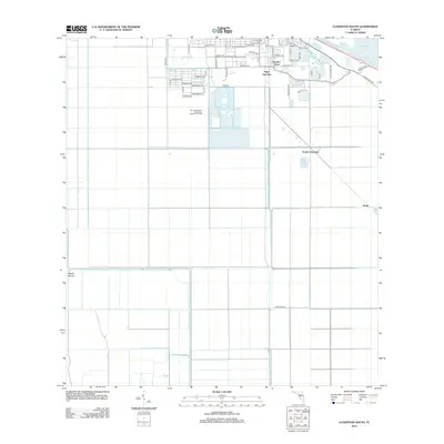 2012 Clewiston South2012 Print · USGSSouthern Clewiston and its surrounding sugar-producing flatlands are captured here in the early twenty-first century. Researchers can trace local development through Hooker Point, the drainage networks of the L-1 Canal, and markers like Maple Mound.
- 2012 Map of Lake Harbor SW, 2012 Print
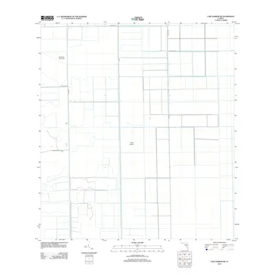 2012 Lake Harbor SW2012 Print · USGSThe agricultural heart of South Florida is mapped here in the early twenty-first century, showing the rigid grid of modern sugar and vegetable fields. Researchers can trace the massive water infrastructure of the Bolles Canal and locate landmarks like Tonys Mound.
- 2012 Map of Goddens Strand, 2012 Print
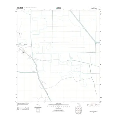 2012 Goddens Strand2012 Print · USGSThe Florida Everglades interior comes into focus during the early twenty-first century, showing a landscape defined by massive drainage canals and remote outposts. Researchers can trace land management patterns and isolated landmarks like Browns Indian Trading Post and Big Cypress Airfield.
- 2012 Map of Little Cypress Swamp, 2012 Print
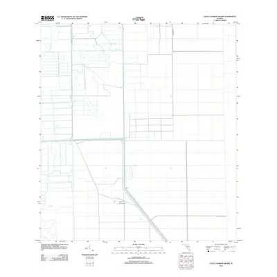 2012 Little Cypress Swamp2012 Print · USGSPalm Beach County's interior wetlands appear here in the early twenty-first century as a landscape of precision-engineered agriculture. Local historians can trace the paths of Co Rd 835 and Blumberg Rd as they cut through Little Cypress Swamp past the Southern Ranch Airport.
- 2012 Map of Clewiston North, 2012 Print
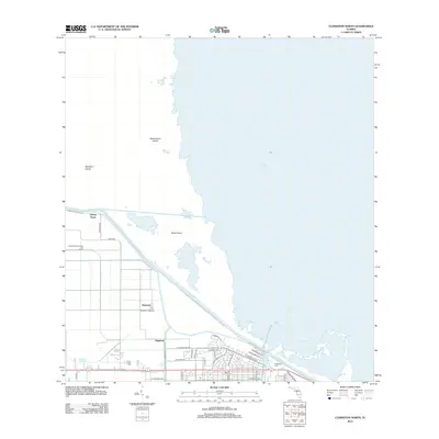 2012 Clewiston North2012 Print · USGSThe southern shores of Lake Okeechobee are shown in the early 2010s, where massive engineering works meet local agriculture. Trace the rail siding at Liberty Point Number Two Siding or explore the settlements of Sugarton and Shawnee.
- 2012 Map of Cochrans Pass, 2012 Print
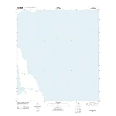 2012 Cochrans Pass2012 Print · USGSFlorida's southeastern lakefront appears in detail during the early 2010s, focusing on the aquatic transition between deep water and coastal marsh. Boaters and environmental researchers can trace the navigable waters of Cochrans Pass and the layout of Moonshine Bay.
- 2012 Map of Felda SE, 2012 Print
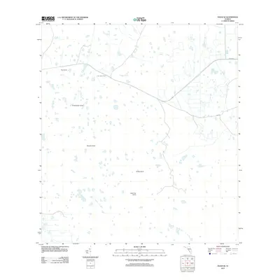 2012 Felda SE2012 Print · USGSFlorida's interior wetlands are documented here in the early twenty-first century, showing a landscape of isolated hammocks and sloughs. Researchers can trace the placement of the Keri Lookout Tower and locate family-named features like Wild Cow Island and Hooper Slough.
- 2012 Map of Graham Marsh, 2012 Print
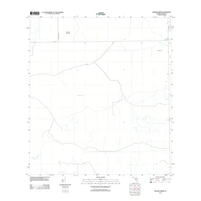 2012 Graham Marsh2012 Print · USGSThe Florida Everglades interior is captured here in the early twenty-first century, showcasing a landscape defined by water and aviation. Researchers can trace the drainage patterns of Graham Marsh and locate local landmarks such as Alico Airport and Devils Garden.
- 2012 Map of Grassy Marsh, 2012 Print
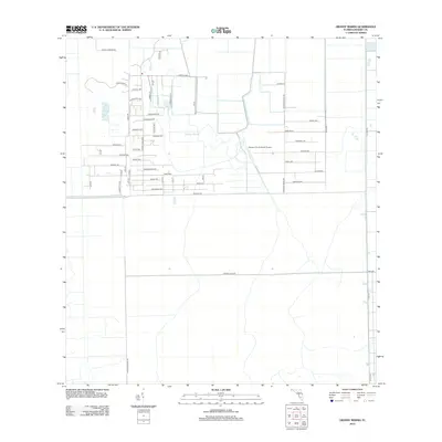 2012 Grassy Marsh2012 Print · USGSHendry County, Florida, is shown in the early twenty-first century as a landscape of planned agricultural grids and wetlands. Researchers can trace land divisions and local infrastructure like Harper's Fly-In Ranch Airport and the waters of Grassy Marsh.
Showing maps 1-25 of 81
Top cities of Hendry County
Frequently asked questions
- What are the different types of historical maps available for Hendry County?
- What is the oldest map of Hendry County?
- Where can I purchase historical maps of Hendry County for my home or office?
- Where can I download high-res historical maps of Hendry County?
- Are there historical topographic maps available for Hendry County?
- Is there historical aerial imagery available for Hendry County?
- Where are historical maps of Hendry County sourced from?