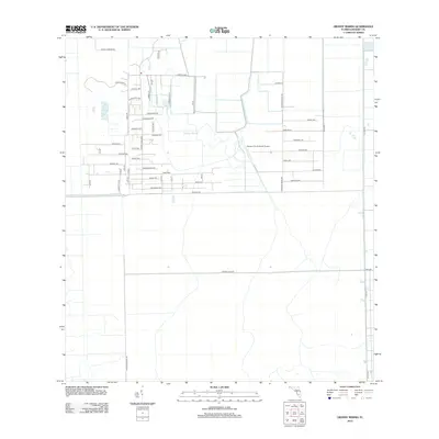
2012 Map of Grassy Marsh
USGS Topo · Published 2012About this map
Harper's Fly-In Ranch Airport serves as a central landmark in this agricultural landscape of western Florida, where the geometry of drainage canals and property lines meets the natural expanse of the Grassy Marsh. The area is defined by a dense grid of residential and agricultural avenues, many bearing evocative names like Everglades Ave, Sweetwater Ave, and Homestead Ave. This layout suggests a period of planned rural development or large-scale farming estates in Hendry County. Access through the region is anchored by Co Rd-833 on the eastern edge and secondary routes such as Orange Gate Rd and Al Don Farming Rd, which navigate the transitions between open marshland and structured groves and fields.
Find a feature on this map
52 named features on this map. Tap any name to fly to it.
Don’t see what you’re looking for? This feature index may not catch every label — zoom into the map to look around manually.
Map Details
Editions of this 2012 Grassy Marsh Map
This is the sole edition of this map. No revisions or reprints were ever made.
Other maps of this area

1956 · West Palm Beach
USGS Topo · 1:250,000

1957 · West Palm Beach
USGS Topo · 1:250,000

1958 · West Palm Beach
USGS Topo · 1:250,000
1958 · Felda SE
USGS Topo · 1:24,000
1958 · Goodno
USGS Topo · 1:24,000
1958 · Felda NE
USGS Topo · 1:24,000
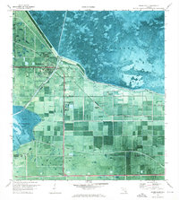
1970 · Moore Haven
USGS Topo · 1:24,000
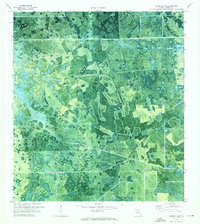
1970 · La Belle 4 SE
USGS Topo · 1:24,000
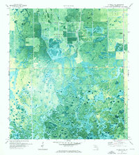
1970 · La Belle 4 NW
USGS Topo · 1:24,000
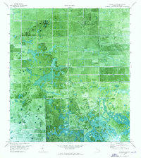
1970 · La Belle 4 NE
USGS Topo · 1:24,000