2020s Maps of Indian River County, Florida
Explore 32 historic maps of Indian River County from the 2020s. These maps offer a rare glimpse into what life looked like during the 2020s — showing old roads, neighborhoods, homes, and landmarks that have changed or disappeared over time.
Whether you're researching your family's past, planning a metal detecting trip, or studying how Indian River County's landscape evolved across the 2020s, these high-resolution maps are a powerful tool for exploring the history of this region.
- Focus on a specific era: All maps on this page are from the 2020s, giving you a focused view of this time period.
- See what’s changed: Compare century-old streets, trails, and buildings to today's modern landscape using overlays and satellite layers.
- Research with precision: Use these maps for genealogy, historical research, land use analysis, or educational projects.
- View, download, or print: Maps are fully viewable online in high resolution, and can be downloaded or printed for your own records.
Start exploring Indian River County's history through authentic maps from the 2020s. This is your window into the past.
Indian River County, FL maps
(32)- 2021 Map of Fellsmere SW, 2021 Print
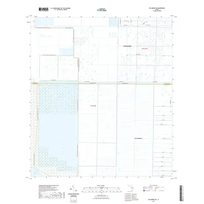 2021 Fellsmere SW2021 Print · USGSThe marshlands of Brevard and Indian River counties are captured in this recent survey during a period of steady residential expansion. Researchers can trace the development of Palm Bay and Fellsmere alongside the preserved Saint Johns Marsh.
 - 2021 Map of Fort Drum, 2021 Print
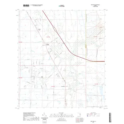 2021 Fort Drum2021 Print · USGSFlorida's interior wetlands and scattered settlements come into focus in this contemporary survey of northern Okeechobee County. Genealogists and local historians can locate the Fort Drum Cem and trace the paths around Osowaw Junction and Bear Island.
 - 2021 Map of Kenansville SE, 2021 Print
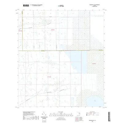 2021 Kenansville SE2021 Print · USGSBrevard and Indian River counties meet in this wetland landscape during the early 2020s. Researchers can trace the boundaries of the Three Forks Marsh Conservation Area Trl and rural ranching routes like Blue Cypress Ranch Rd.
 - 2021 Map of Riomar, 2021 Print
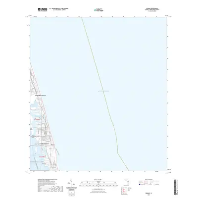 2021 Riomar2021 Print · USGSThe barrier island communities of Vero Beach and Indian River Shores are captured in high detail during this recent era of coastal development. Researchers can trace the modern street grids near Riomar and the preservation of island landmarks like Fritz Island and the Merrill P Barber Bridge.
 - 2021 Map of Gum Slough, 2021 Print
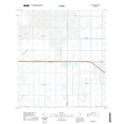 2021 Gum Slough2021 Print · USGSThe Florida marshlands at the junction of Indian River, Okeechobee, and Saint Lucie counties are documented here in the early twenty-first century. Researchers can trace the path of the Fort Drum Marsh Conservation Area Trl and locate remote features like Sick Island and Gum Slough.
 - 2021 Map of North of Gum Slough, 2021 Print
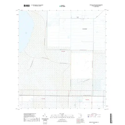 2021 North of Gum Slough2021 Print · USGSThe municipal outskirts of Fellsmere meet the Florida wetlands in the early 2020s. Researchers can trace the interface of town planning and conservation through landmarks like the Fellsmere Airport, the waters of Blue Cypress Lake, and the Blue Cypress Conservation Area Trl.
 - 2021 Map of Kenansville SW, 2021 Print
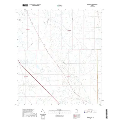 2021 Kenansville SW2021 Print · USGSOsceola County cattle country and wetland drainages are captured here in the early twenty-first century. Genealogists and historians can trace the roads around Lokosee or locate landmarks like the Flying S Ranch Airport and Blue Cypress Cr.
 - 2021 Map of Fellsmere, 2021 Print
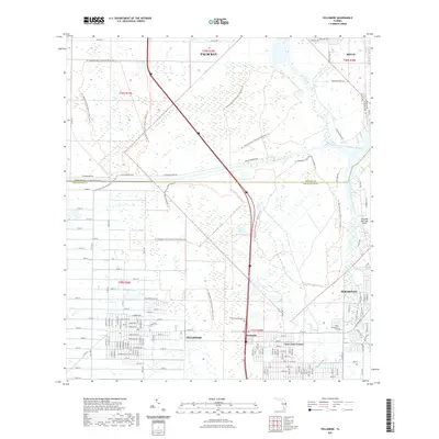 2021 Fellsmere2021 Print · USGSCoastal wetlands and residential growth intersect along the Brevard and Indian River county line in the early 2020s. Researchers can trace the legacy of regional travel and settlement at Old Sebastian Cem, the Trans-Florida Rail-Trl, and the municipal airfield.
 - 2021 Map of Indrio, 2021 Print
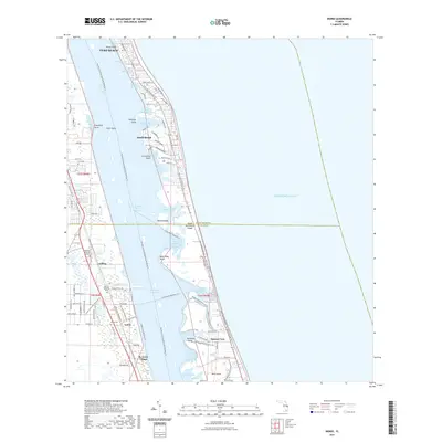 2021 Indrio2021 Print · USGSThe Florida coast near Vero Beach comes alive in this contemporary survey of the Indian River Lagoon. Genealogists and historians can trace local burial sites at Viking Cem or explore established neighborhoods like Indrio and St. Lucie Village.
 - 2021 Map of Fort Drum NW, 2021 Print
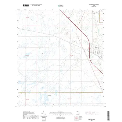 2021 Fort Drum NW2021 Print · USGSYeehaw Junction and the surrounding Florida prairie lands are detailed here during the early twenty-first century. Genealogists and local historians can trace the local street names of Yeehaw Junction or locate landmarks like Wolf Hammock and Big Lolly Bridge.
 - 2021 Map of East of Gum Slough, 2021 Print
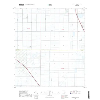 2021 East of Gum Slough2021 Print · USGSThe Florida citrus and ranch lands along the Indian River and St. Lucie border are shown here in recent detail. Researchers can locate private flight hubs like the Wee Bee Sky Ranch Airport and trace rural routes including Minute Maid Rd.
 - 2021 Map of South of Fellsmere, 2021 Print
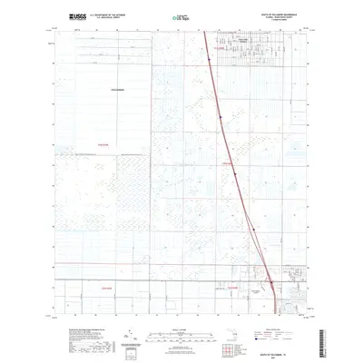 2021 South of Fellsmere2021 Print · USGSFellsmere and the developing subdivisions of Indian River County are captured here in the early twenty-first century. Researchers can trace the massive drainage grid of the Blue Cypress Conservation Area or the street layouts of Vero Lake Estates.
 - 2021 Map of Fort Drum NE, 2021 Print
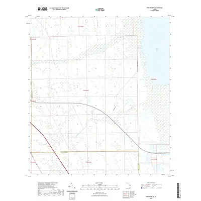 2021 Fort Drum NE2021 Print · USGSOsceola, Indian River, and Okeechobee counties meet in this wetland expanse during the early twenty-first century. Researchers can trace the boundaries of the Fort Drum Marsh Conservation Area Trl and find named watercourses like Padgett Br and Jim Green Cr.
 - 2021 Map of Oslo, 2021 Print
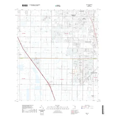 2021 Oslo2021 Print · USGSThe coastal communities south of Vero Beach are captured here in the early 2020s, showing a landscape of dense residential growth and preserved natural areas. Genealogists and local researchers can locate the Oslo Cem and trace developments like Florida Ridge and Lakewood Park.
 - 2021 Map of Sebastian, 2021 Print
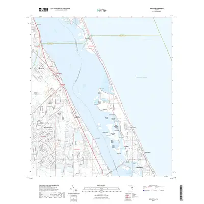 2021 Sebastian2021 Print · USGSThe Florida coast at the start of the 2020s shows the intricate relationship between mainland development and the barrier island ecosystems. Genealogists and local historians can trace the town layouts of Sebastian and Roseland or locate landmarks like Sebastian Municipal Cem and Pelican Island.
 - 2021 Map of Vero Beach, 2021 Print
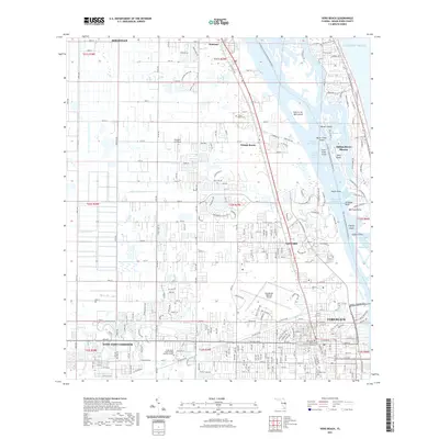 2021 Vero Beach2021 Print · USGSVero Beach and the Indian River coast are shown here in the early 2020s, balancing modern growth with its unique lagoon geography. Researchers can trace local history through the Winter Beach Cem, Gifford Cem, and the Old Dixie Hwy corridor.
 - 2024 Map of Kenansville SW, 2024 Print
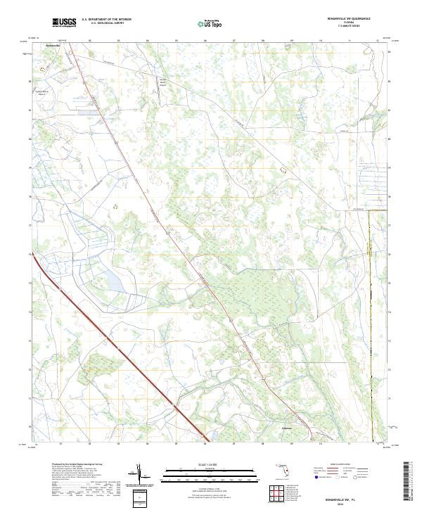 2024 Kenansville SW2024 Print · USGSThis Osceola County territory is shown in its modern rural character, defined by large ranching tracts and isolated settlements. Trace local history through the roads and ranch-side airstrips like Flying S Ranch Airport or the small community at Lokosee.
 - 2024 Map of Fellsmere SW, 2024 Print
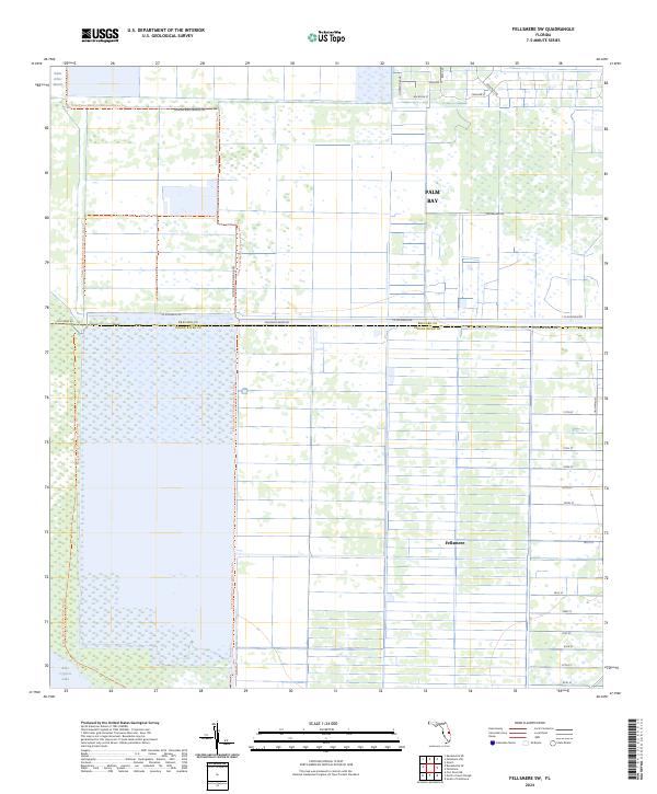 2024 Fellsmere SW2024 Print · USGSCoastal wetlands meet organized grid-work in this recent survey of the Brevard and Indian River county line. Genealogists and local historians can trace the development of Fellsmere and Palm Bay alongside the Blue Cypress Conservation Area Trl.
 - 2024 Map of Fellsmere, 2024 Print
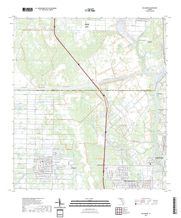 2024 Fellsmere2024 Print · USGSThe Florida coast meets the river marshes in this modern survey of Indian River County. Researchers can trace historical corridors like the Trans-Florida Rail-Trl and locate local landmarks such as the Old Sebastian Cem or Fellsmere.
 - 2024 Map of North of Gum Slough, 2024 Print
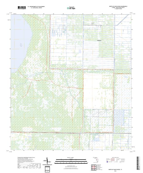 2024 North of Gum Slough2024 Print · USGSFellsmere and the surrounding Indian River County wetlands are captured here in a period of modern conservation and agricultural management. Researchers can trace the water network from Blue Cypress Lake to the trails of the Fort Drum Marsh Conservation Area Trl.
 - 2024 Map of Kenansville SE, 2024 Print
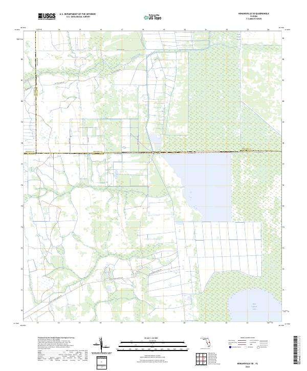 2024 Kenansville SE2024 Print · USGSThe marshlands of Indian River and Brevard counties are captured here in the early 2020s. Researchers can trace the water levels of Blue Cypress Lake and the rural network around Blue Cypress Ranch Rd and Saint Johns Marsh.
 - 2024 Map of Fort Drum, 2024 Print
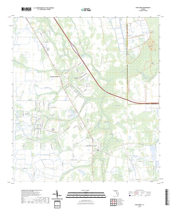 2024 Fort Drum2024 Print · USGSThe rural heart of central Florida comes into focus in this recent survey, showcasing the enduring landscape of the Okeechobee interior. Genealogists and local historians can trace family ties at the Fort Drum Cem or explore the water-bound geography of Gum Slough and Osowaw Junction.
 - 2024 Map of Fort Drum NE, 2024 Print
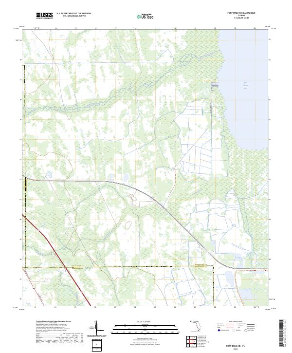 2024 Fort Drum NE2024 Print · USGSSpanning the tri-county border of Indian River, Osceola, and Okeechobee, this 2024 map shows a vast Florida wetland landscape. Researchers can trace the Fort Drum-Marsh Conservation Area Trl and the hydrologic paths of Blue Cypress Creek and Padgett Branch.
 - 2024 Map of East of Gum Slough, 2024 Print
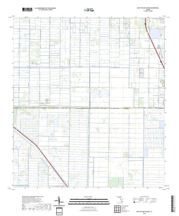 2024 East of Gum Slough2024 Print · USGSAgricultural drainage and private aviation hubs characterize this section of the Florida coast in 2024. Researchers can trace the layout of Wee Bee Sky Ranch Airport and the developing residential pockets near Verona Cir.
 - 2024 Map of Fort Drum NW, 2024 Print
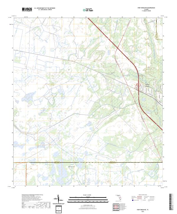 2024 Fort Drum NW2024 Print · USGSOsceola County at the junction of major Florida transit routes shows a landscape of deep conservation and rural crossroads. Trace the intersection at Yeehaw Junction and explore protected lands like Wolf Hammock and the Little Gumhead Marsh.
Showing maps 1-25 of 32
Top cities of Indian River County
- Sebastian historical maps
- Vero Beach historical maps
- Gifford historical maps
- West Vero Corridor historical maps
- Fellsmere historical maps
- Indian River Shores historical maps
See more
Frequently asked questions
- What are the different types of historical maps available for Indian River County?
- What is the oldest map of Indian River County?
- Where can I purchase historical maps of Indian River County for my home or office?
- Where can I download high-res historical maps of Indian River County?
- Are there historical topographic maps available for Indian River County?
- Is there historical aerial imagery available for Indian River County?
- Where are historical maps of Indian River County sourced from?