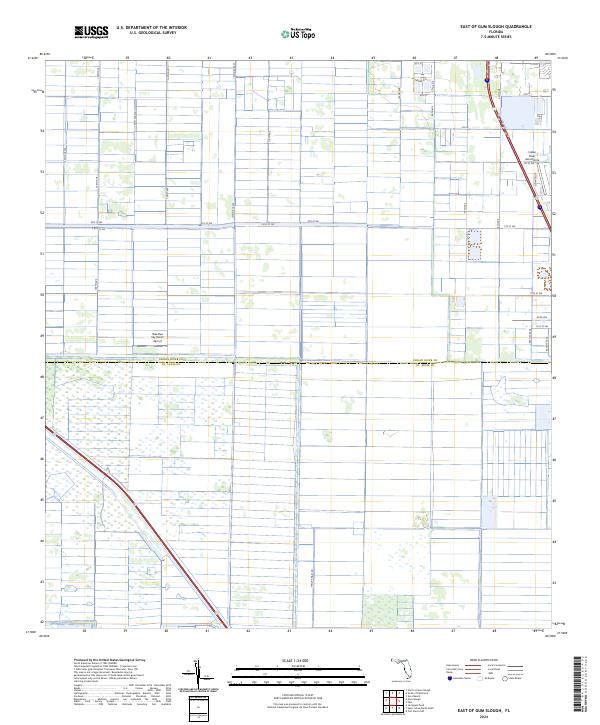
2024 Map of East of Gum Slough
USGS Topo · Published 2024About this map
Aviation and agriculture define this landscape along the border of Indian River Co St. Lucie Co. The map captures a transition in land use, where the grid of drainage canals and citrus groves typical of this region is punctuated by specialized private airfields. Wee Bee Sky Ranch Airport occupies a central position among the rectangular plots, while the Indian River Aerodrome sits further east, connected by streets like Sopwith Dr.
Find a feature on this map
68 named features on this map. Tap any name to fly to it.
Don’t see what you’re looking for? This feature index may not catch every label — zoom into the map to look around manually.
Map Details
Editions of this 2024 East of Gum Slough Map
This is the sole edition of this map. No revisions or reprints were ever made.
Other maps of this area

1949 · Vero Beach
USGS Topo · 1:24,000

1949 · Oslo
USGS Topo · 1:24,000

1949 · Fort Pierce NW
USGS Topo · 1:24,000

1950 · Fort Pierce NW
USGS Topo · 1:24,000

1950 · Oslo
USGS Topo · 1:24,000

1950 · Vero Beach
USGS Topo · 1:24,000

1953 · Fellsmere 4 SE
USGS Topo · 1:24,000

1953 · Fellsmere 4 SW
USGS Topo · 1:24,000

1953 · Fellsmere 4 NW
USGS Topo · 1:24,000

1953 · Okeechobee 1 NE
USGS Topo · 1:24,000