2020s Maps of Jackson County, Florida
Explore 52 historic maps of Jackson County from the 2020s. These maps offer a rare glimpse into what life looked like during the 2020s — showing old roads, neighborhoods, homes, and landmarks that have changed or disappeared over time.
Whether you're researching your family's past, planning a metal detecting trip, or studying how Jackson County's landscape evolved across the 2020s, these high-resolution maps are a powerful tool for exploring the history of this region.
- Focus on a specific era: All maps on this page are from the 2020s, giving you a focused view of this time period.
- See what’s changed: Compare century-old streets, trails, and buildings to today's modern landscape using overlays and satellite layers.
- Research with precision: Use these maps for genealogy, historical research, land use analysis, or educational projects.
- View, download, or print: Maps are fully viewable online in high resolution, and can be downloaded or printed for your own records.
Start exploring Jackson County's history through authentic maps from the 2020s. This is your window into the past.
Jackson County, FL maps
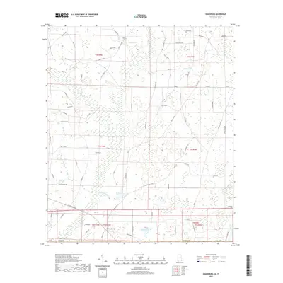
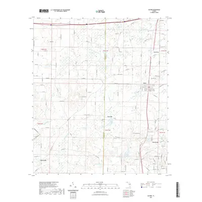
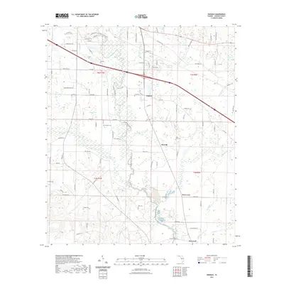
(52)- 2020 Map of Fairchild, 2020 Print
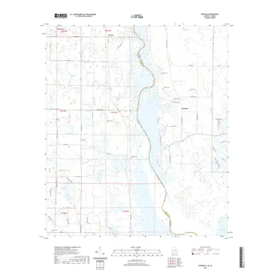 2020 Fairchild2020 Print · USGSCovers Jackson County, including Haynes, Parramore, and other nearby areas
 - 2020 Map of Steam Mill, 2020 Print
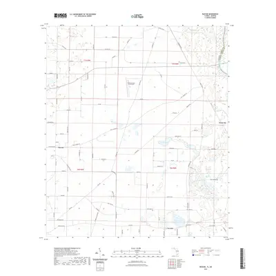
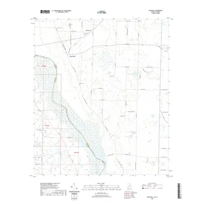 2020 Steam Mill2020 Print · USGSCovers Jackson County, including Green Acres Subdivision, Steam Mill, and other nearby areas
 - 2020 Map of Saffold, 2020 Print
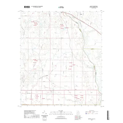 2020 Saffold2020 Print · USGSCovers Jackson County, including Crosby, Saffold, and other nearby areas
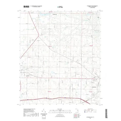
 - 2020 Map of Cottonwood, 2020 Print
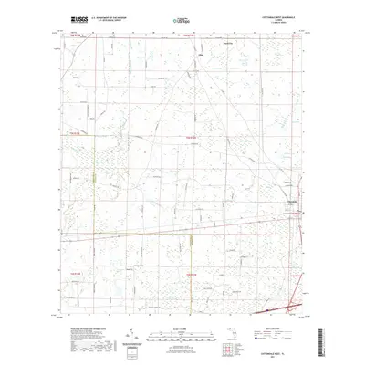
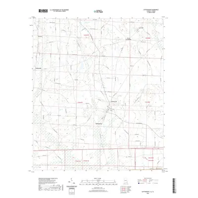 2020 Cottonwood2020 Print · USGSCovers Jackson County, including Cottonwood, Sealy Springs, and other nearby areas
 - 2020 Map of Grangeburg, 2020 Print
 2020 Grangeburg2020 Print · USGSCovers Jackson County, including Grangeburg, Harmon, and other nearby areas
 - 2021 Map of Chattahoochee, 2021 Print
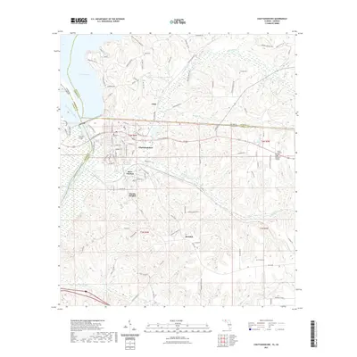 2021 Chattahoochee2021 Print · USGSCovers Jackson County, including Chattahoochee, Rosedale, and other nearby areas
 - 2021 Map of Rock Bluff, 2021 Print
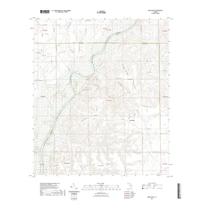 2021 Rock Bluff2021 Print · USGSCovers Jackson County, including Rock Bluff, Sweetwater, and other nearby areas
 - 2021 Map of Sneads, 2021 Print
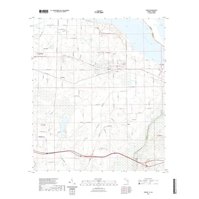 2021 Sneads2021 Print · USGSCovers Jackson County, including Sneads, Grand Ridge, and other nearby areas
 - 2021 Map of Campbellton, 2021 Print
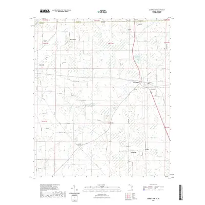 2021 Campbellton2021 Print · USGSCovers Jackson County, including Graceville, Jacob City, and other nearby areas
 - 2021 Map of Bascom, 2021 Print
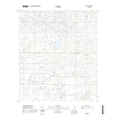
 2021 Bascom2021 Print · USGSCovers Jackson County, including Bascom, Hornsville, and other nearby areas
 - 2021 Map of Sills, 2021 Print
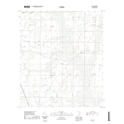 2021 Sills2021 Print · USGSCovers Jackson County, including Sills, Houston County, and other nearby areas
 - 2021 Map of Cottondale West, 2021 Print
 2021 Cottondale West2021 Print · USGSCovers Jackson County, including Cottondale, Jacob City, and other nearby areas
 - 2021 Map of Alford, 2021 Print
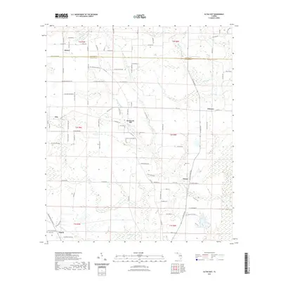
 2021 Alford2021 Print · USGSCovers Jackson County, including Alford, Steele City, and other nearby areas
 - 2021 Map of Alford SE, 2021 Print
 2021 Alford SE2021 Print · USGSCovers Jackson County, including Calhoun County, United States, and other nearby areas
 - 2021 Map of Malone, 2021 Print
 2021 Malone2021 Print · USGSCovers Jackson County, including Malone, Greenwood, and other nearby areas
 - 2021 Map of Cypress, 2021 Print
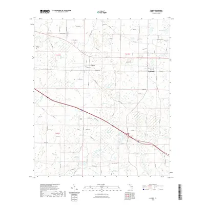 2021 Cypress2021 Print · USGSCovers Jackson County, including Grand Ridge, Cypress, and other nearby areas
 - 2021 Map of Dellwood, 2021 Print
 2021 Dellwood2021 Print · USGSCovers Jackson County, including Two Egg, Dellwood, and other nearby areas
 - 2021 Map of Compass Lake, 2021 Print
 2021 Compass Lake2021 Print · USGSCovers Jackson County, including Compass Lake, Betts, and other nearby areas
 - 2021 Map of Oakdale, 2021 Print
 2021 Oakdale2021 Print · USGSCovers Jackson County, including Simsville, Oakdale, and other nearby areas
 - 2021 Map of Cottondale East, 2021 Print
 2021 Cottondale East2021 Print · USGSCovers Jackson County, including Marianna, Cottondale, and other nearby areas
 - 2021 Map of Altha West, 2021 Print
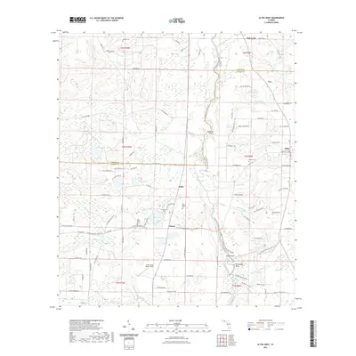 2021 Altha West2021 Print · USGSCovers Jackson County, including Altha, Sink Creek, and other nearby areas
 - 2021 Map of Kynesville, 2021 Print
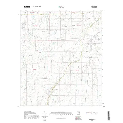
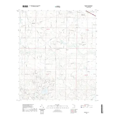 2021 Kynesville2021 Print · USGSCovers Jackson County, including Marianna, Kynesville, and other nearby areas
 - 2021 Map of Altha East, 2021 Print
 2021 Altha East2021 Print · USGSCovers Jackson County, including Altha, Selman, and other nearby areas
 - 2021 Map of Marianna, 2021 Print
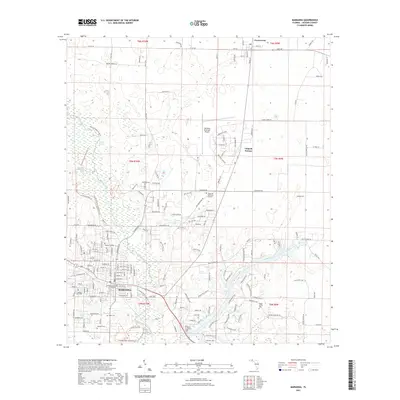 2021 Marianna2021 Print · USGSCovers Jackson County, including Marianna, Greenwood, and other nearby areas
 - 2021 Map of Graceville, 2021 Print
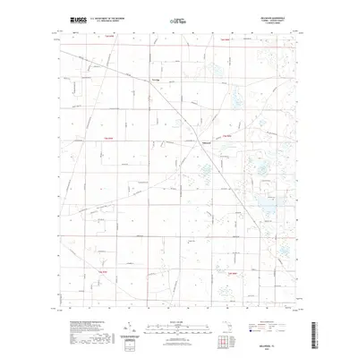
 2021 Graceville2021 Print · USGSCovers Jackson County, including Graceville, Noma, and other nearby areas
Showing maps 1-25 of 52
Top cities of Jackson County
- Marianna historical maps
- Graceville historical maps
- Malone historical maps
- Sneads historical maps
- Cottondale historical maps
- Grand Ridge historical maps
See more
Frequently asked questions
- What are the different types of historical maps available for Jackson County?
- What is the oldest map of Jackson County?
- Where can I purchase historical maps of Jackson County for my home or office?
- Where can I download high-res historical maps of Jackson County?
- Are there historical topographic maps available for Jackson County?
- Is there historical aerial imagery available for Jackson County?
- Where are historical maps of Jackson County sourced from?