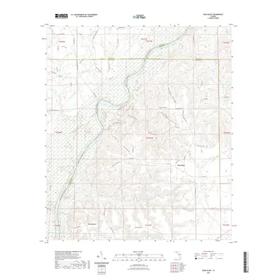
2021 Map of Rock Bluff
USGS Topo · Published 2021About this map
The Apalachicola River carves a deep path through the panhandle, defining the border between Jackson, Gadsden, and Liberty counties. Along its eastern banks, the high bluffs of Torreya State Park dominate the landscape, featuring a network of recreation paths including the Weeping Ridge Trl and Torreya Trl. This area is characterized by dramatic elevation changes unusual for Florida, rising from the river lowlands up to Hickory Hill.
Find a feature on this map
83 named features on this map. Tap any name to fly to it.
Don’t see what you’re looking for? This feature index may not catch every label — zoom into the map to look around manually.
Map Details
Editions of this 2021 Rock Bluff Map
This is the sole edition of this map. No revisions or reprints were ever made.
Other maps of this area

1945 · Blountstown
USGS Topo · 1:31,680

1945 · Hosford
USGS Topo · 1:31,680

1945 · Bristol
USGS Topo · 1:31,680

1952 · Cypress
USGS Topo · 1:24,000

1952 · Altha East
USGS Topo · 1:24,000

1954 · Sneads
USGS Topo · 1:24,000

1954 · Tallahassee
USGS Topo · 1:250,000

1955 · Rock Bluff
USGS Topo · 1:24,000

1955 · Sycamore
USGS Topo · 1:24,000

1955 · Chattahoochee
USGS Topo · 1:24,000