2020s Maps of Lafayette County, Florida
Explore 32 historic maps of Lafayette County from the 2020s. These maps offer a rare glimpse into what life looked like during the 2020s — showing old roads, neighborhoods, homes, and landmarks that have changed or disappeared over time.
Whether you're researching your family's past, planning a metal detecting trip, or studying how Lafayette County's landscape evolved across the 2020s, these high-resolution maps are a powerful tool for exploring the history of this region.
- Focus on a specific era: All maps on this page are from the 2020s, giving you a focused view of this time period.
- See what’s changed: Compare century-old streets, trails, and buildings to today's modern landscape using overlays and satellite layers.
- Research with precision: Use these maps for genealogy, historical research, land use analysis, or educational projects.
- View, download, or print: Maps are fully viewable online in high resolution, and can be downloaded or printed for your own records.
Start exploring Lafayette County's history through authentic maps from the 2020s. This is your window into the past.
Lafayette County, FL maps
(32)- 2021 Map of Clara, 2021 Print
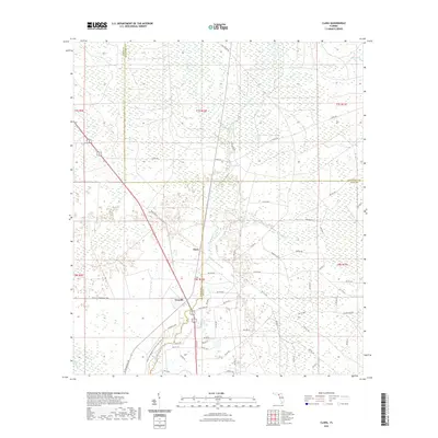 2021 Clara2021 Print · USGSCovers Lafayette County, including Clara, Taylor County, and other nearby areas
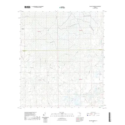
 - 2021 Map of Mallory Swamp NE, 2021 Print
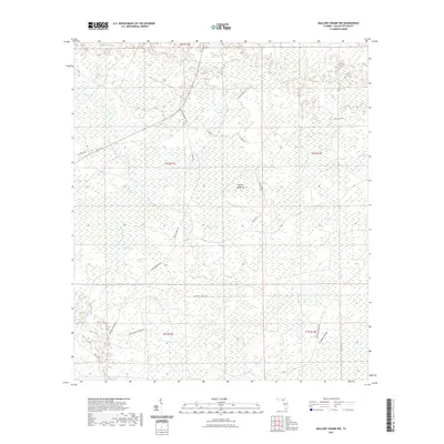
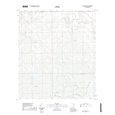 2021 Mallory Swamp NE2021 Print · USGSCovers Lafayette County, including United States, Florida, and other nearby areas
 - 2021 Map of Cooks Hammock, 2021 Print
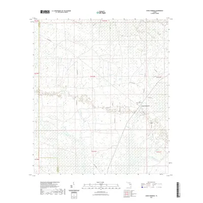 2021 Cooks Hammock2021 Print · USGSCovers Lafayette County, including Cooks Hammock, Taylor County, and other nearby areas
 - 2021 Map of Dowling Park, 2021 Print
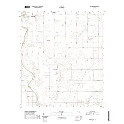 2021 Dowling Park2021 Print · USGSCovers Lafayette County, including Dowling Park, Lancaster, and other nearby areas
 - 2021 Map of Day SE, 2021 Print
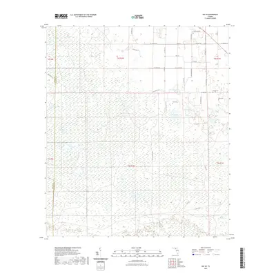 2021 Day SE2021 Print · USGSCovers Lafayette County, including Taylor County, United States, and other nearby areas
 - 2021 Map of Day, 2021 Print
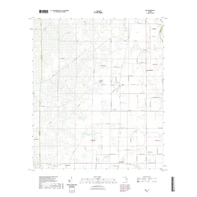 2021 Day2021 Print · USGSCovers Lafayette County, including Day, Townsend, and other nearby areas
 - 2021 Map of Falmouth, 2021 Print
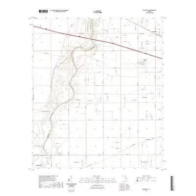 2021 Falmouth2021 Print · USGSCovers Lafayette County, including Newburn, Falmouth, and other nearby areas
 - 2021 Map of O'Brien, 2021 Print
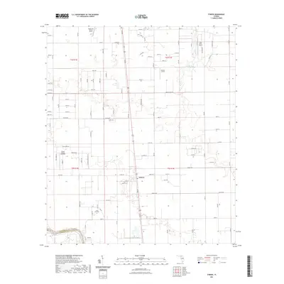 2021 O'Brien2021 Print · USGSCovers Lafayette County, including O'Brien, Suwannee County, and other nearby areas
 - 2021 Map of Mayo, 2021 Print
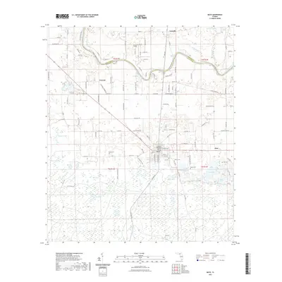 2021 Mayo2021 Print · USGSCovers Lafayette County, including Mayo, Alton, and other nearby areas
 - 2021 Map of Madison SE, 2021 Print
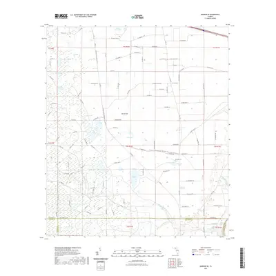 2021 Madison SE2021 Print · USGSCovers Lafayette County, including Suwannee County, Taylor County, and other nearby areas
 - 2021 Map of Mayo SE, 2021 Print
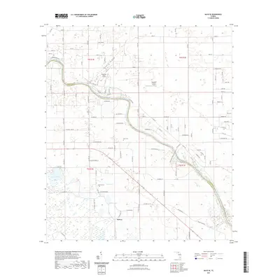 2021 Mayo SE2021 Print · USGSCovers Lafayette County, including Midway, Suwannee County, and other nearby areas
 - 2021 Map of Mallory Swamp SE, 2021 Print
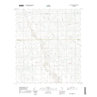
 2021 Mallory Swamp SE2021 Print · USGSCovers Lafayette County, including Dixie County, United States, and other nearby areas
 - 2021 Map of Mallory Swamp NW, 2021 Print
 2021 Mallory Swamp NW2021 Print · USGSCovers Lafayette County, including United States, Florida, and other nearby areas
 - 2021 Map of Mallory Swamp SW, 2021 Print
 2021 Mallory Swamp SW2021 Print · USGSCovers Lafayette County, including Dixie County, United States, and other nearby areas
 - 2021 Map of Branford, 2021 Print
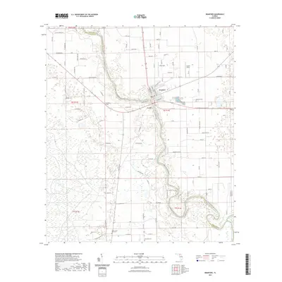 2021 Branford2021 Print · USGSCovers Lafayette County, including Branford, Grady, and other nearby areas
 - 2021 Map of Hatchbend, 2021 Print
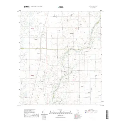 2021 Hatchbend2021 Print · USGSCovers Lafayette County, including Little Lake City, Hatchbend, and other nearby areas
 - 2024 Map of Clara, 2024 Print
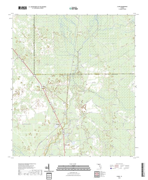 2024 Clara2024 Print · USGSThe tri-county border area of Taylor, Dixie, and Lafayette Counties comes into focus in this contemporary survey of Florida's river country. Trace local landmarks like Clara, Tennille, and the winding Steinhatchee River alongside Iron Spring.
 - 2024 Map of Branford, 2024 Print
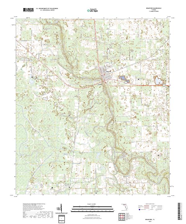 2024 Branford2024 Print · USGSThe Suwannee River valley near Branford is captured here in detail, showing a landscape of river bends and rural settlements. Researchers can trace family history through local landmarks like Hatch Bend Cem, Grady, and the Bethel Baptist Church Cem.
 - 2024 Map of Hatchbend, 2024 Print
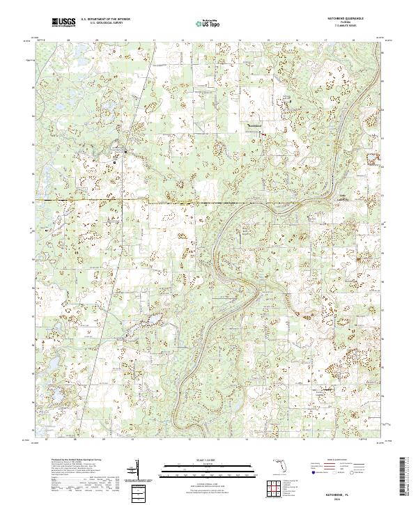 2024 Hatchbend2024 Print · USGSThe Suwannee River borderlands of Lafayette and Gilchrist counties are captured here in the contemporary era. Genealogists and local historians can locate numerous rural burial sites and springs, including Old Hatch Bend Cem, Townsend Cem, and Rock Bluff Spring.
 - 2024 Map of Cooks Hammock, 2024 Print
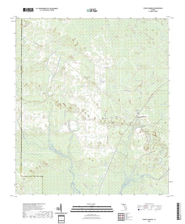 2024 Cooks Hammock2024 Print · USGSLafayette County’s rural character is on full display in this contemporary look at a landscape defined by the Steinhatchee River and traditional hammock settlements. Researchers can locate family sites near Cooks Hammock Cem and trace old timber routes like Chicken Pen Rd.
 - 2024 Map of Mallory Swamp SE, 2024 Print
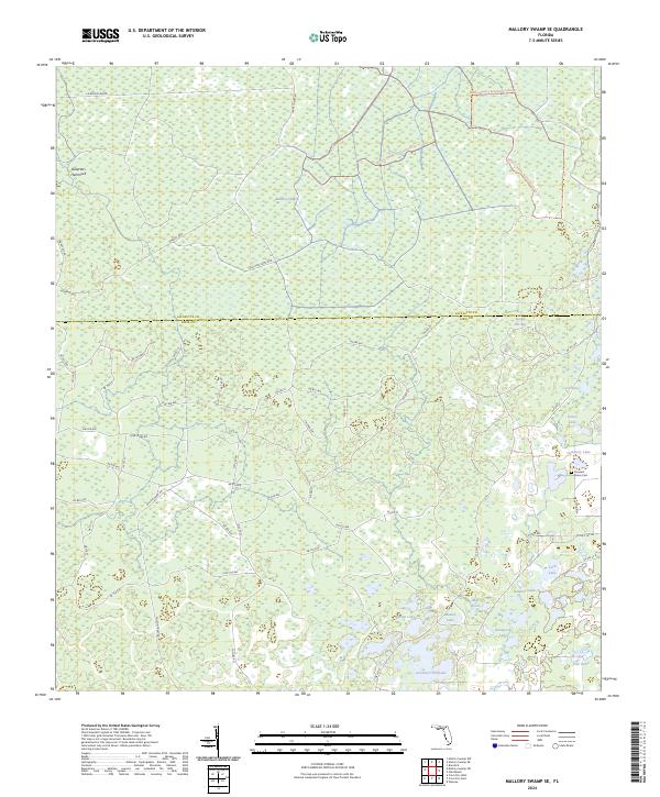 2024 Mallory Swamp SE2024 Print · USGSDixie and Lafayette counties are shown here in the 2020s, dominated by the interior wetlands of the Mallory Swamp. Researchers can trace the network of old timber routes like Wilson Tram Rd or locate the Pleasant Grove Cem.
 - 2024 Map of Mallory Swamp SW, 2024 Print
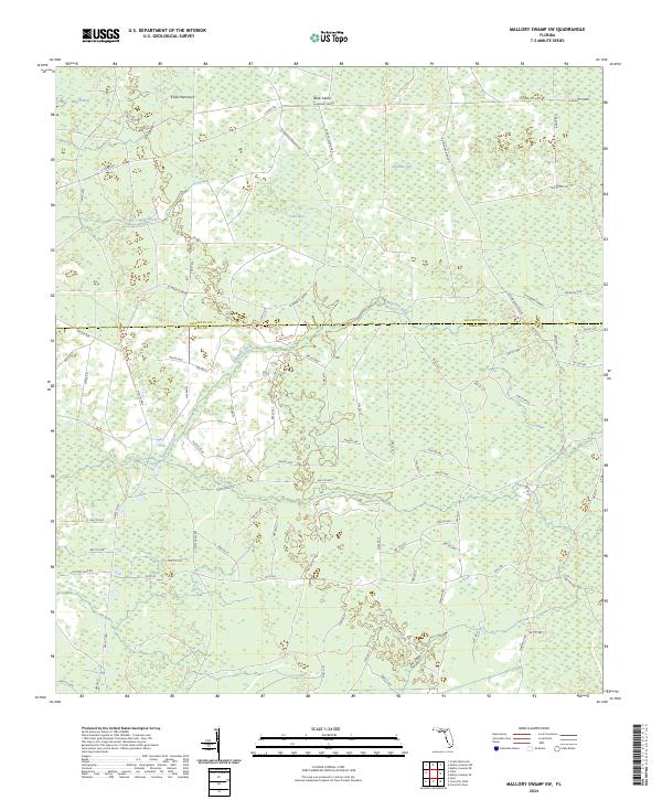 2024 Mallory Swamp SW2024 Print · USGSThe Florida interior at the Dixie and Lafayette county line is defined by its vast wetland networks and forestry access routes. Trace the reach of Mud Swamp and identify local landmarks like Knife Hammock and Se Roberts Grade.
 - 2024 Map of Mallory Swamp NE, 2024 Print
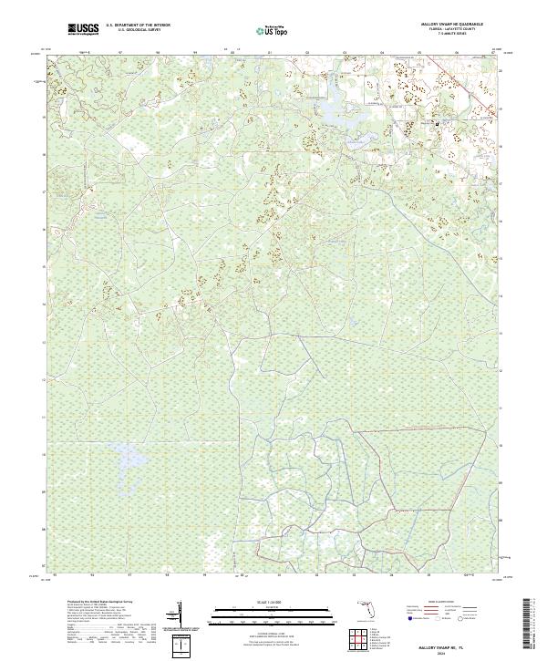 2024 Mallory Swamp NE2024 Print · USGSLafayette County’s interior wetlands are captured here during recent conservation and restoration efforts. Local historians and hunters can trace the landscape around Maypop Cem or navigate the routes leading to Adams Lakes and Brushy Hammock.
 - 2024 Map of Mayo, 2024 Print
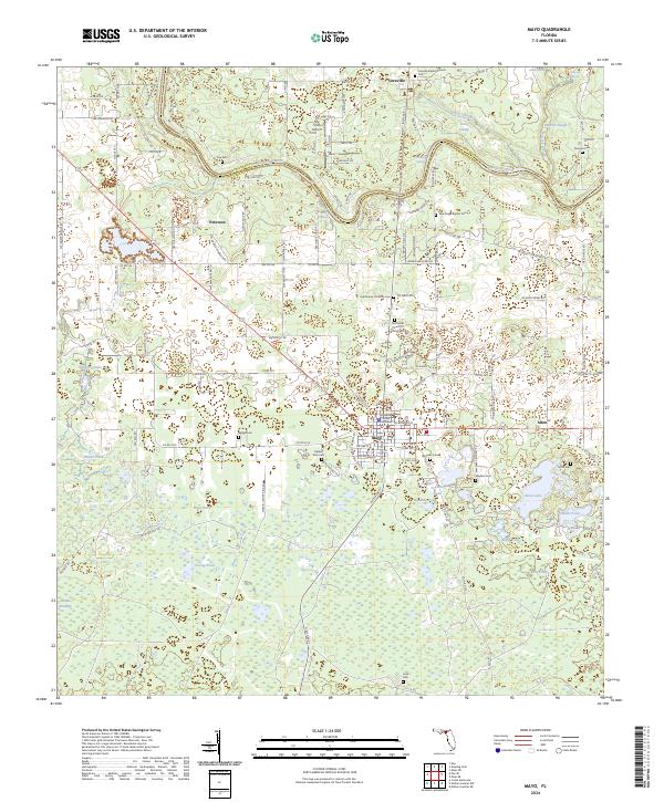 2024 Mayo2024 Print · USGSLafayette County and the winding Suwannee River are captured here in the early twenty-first century, showcasing a landscape of river springs and rural settlements. Genealogists and historians can trace numerous burial grounds like Bethel Cem and Ivey Cem or locate the Lafayette County Courthouse in Mayo.
 - 2024 Map of Falmouth, 2024 Print
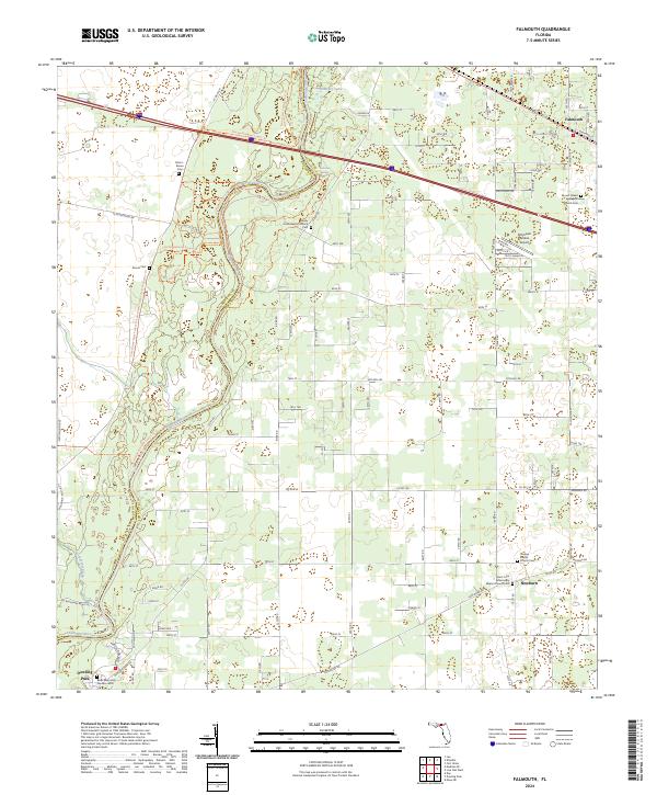 2024 Falmouth2024 Print · USGSSuwannee County's winding riverbanks and timberlands are captured here in the early twenty-first century. Genealogists and local historians can trace family burial sites at Dixon-Brown Cem and Orange Baptist Church Cem or explore the rural hubs of Falmouth and Newburn.
Showing maps 1-25 of 32
Top cities of Lafayette County
Frequently asked questions
- What are the different types of historical maps available for Lafayette County?
- What is the oldest map of Lafayette County?
- Where can I purchase historical maps of Lafayette County for my home or office?
- Where can I download high-res historical maps of Lafayette County?
- Are there historical topographic maps available for Lafayette County?
- Is there historical aerial imagery available for Lafayette County?
- Where are historical maps of Lafayette County sourced from?