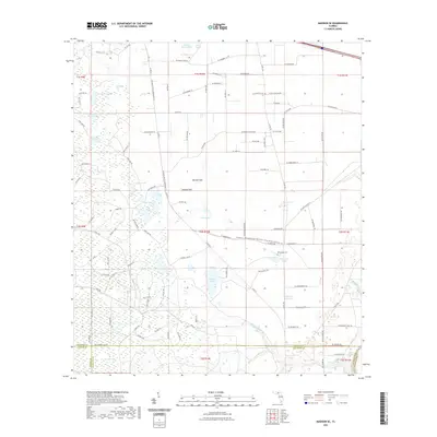
2021 Map of Madison SE
USGS Topo · Published 2021About this map
San Pedro Bay dominates the southern reaches of this landscape where the borders of Madison, Taylor, and Lafayette Counties converge. This low-lying region is defined by an intricate network of wetlands and small water bodies, including Winquepin Pond and the nearby Winquepin Cem. The hydrology of the area is characterized by numerous sinks and depressions typical of the Florida karst landscape, such as McKay Lake, Patterson Sink, and Mitchel Sink.
Find a feature on this map
116 named features on this map. Tap any name to fly to it.
Don’t see what you’re looking for? This feature index may not catch every label — zoom into the map to look around manually.
Map Details
Editions of this 2021 Madison SE Map
This is the sole edition of this map. No revisions or reprints were ever made.
Other maps of this area

1954 · Day
USGS Topo · 1:24,000

1954 · Dowling Park
USGS Topo · 1:24,000

1954 · Day NW
USGS Topo · 1:24,000

1954 · Valdosta
USGS Topo · 1:250,000

1958 · Valdosta
USGS Topo · 1:250,000

1958 · Madison SW
USGS Topo · 1:24,000

1958 · Madison SE
USGS Topo · 1:24,000

1958 · Lee
USGS Topo · 1:24,000

1959 · Valdosta
USGS Topo · 1:250,000

1959 · Madison
USGS Topo · 1:24,000