2020s Maps of Orange County, Florida
Explore 62 historic maps of Orange County from the 2020s. These maps offer a rare glimpse into what life looked like during the 2020s — showing old roads, neighborhoods, homes, and landmarks that have changed or disappeared over time.
Whether you're researching your family's past, planning a metal detecting trip, or studying how Orange County's landscape evolved across the 2020s, these high-resolution maps are a powerful tool for exploring the history of this region.
- Focus on a specific era: All maps on this page are from the 2020s, giving you a focused view of this time period.
- See what’s changed: Compare century-old streets, trails, and buildings to today's modern landscape using overlays and satellite layers.
- Research with precision: Use these maps for genealogy, historical research, land use analysis, or educational projects.
- View, download, or print: Maps are fully viewable online in high resolution, and can be downloaded or printed for your own records.
Start exploring Orange County's history through authentic maps from the 2020s. This is your window into the past.
Orange County, FL maps
(62)- 2021 Map of Lake Poinsett, 2021 Print
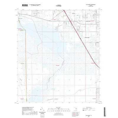 2021 Lake Poinsett2021 Print · USGSBrevard County's transition from residential suburbs to the St. Johns River wetlands is documented here in the early twenty-first century. Researchers can trace the development of Cocoa West or locate local landmarks such as Pine Crest Cem and Mulberry Mound.
 - 2021 Map of Bithlo, 2021 Print
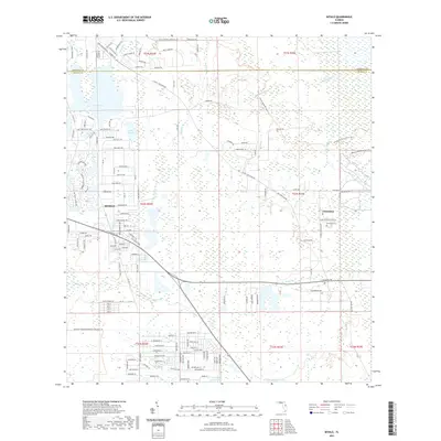 2021 Bithlo2021 Print · USGSBithlo and the historic outpost of Christmas are documented here in the early twenty-first century, showing the interface between Florida's suburban growth and its vast wetlands. Researchers can trace the Florida National Scenic Trl, locate the Christmas Cem, or map the banks of Sandhill Crane Lake.
 - 2021 Map of Lake Louisa, 2021 Print
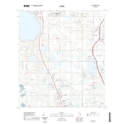 2021 Lake Louisa2021 Print · USGSCentral Florida's ridge and swamp country is captured here in detail during a period of significant suburban growth. Researchers can trace the development of Citrus Ridge and the preserved landscapes of Lake Louisa State Park and Tiger Island.
 - 2021 Map of Narcoossee, 2021 Print
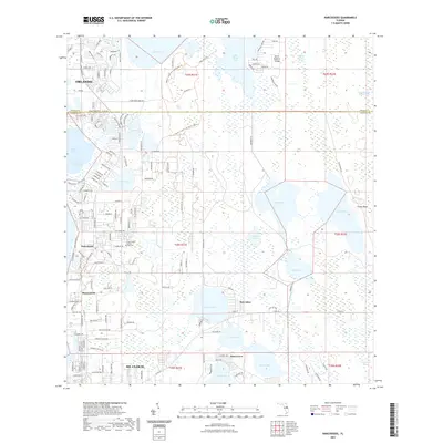 2021 Narcoossee2021 Print · USGSOsceola and Orange counties meet in this contemporary survey of the lake-strewn landscape between Orlando and St. Cloud. Researchers can trace local landmarks like Arthur Fell Cemetery and the historic settlement footprints of Narcoossee and Runnymede.
 - 2021 Map of Sanford SW, 2021 Print
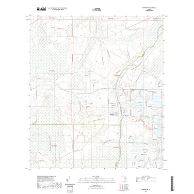 2021 Sanford SW2021 Print · USGSThe Wekiva River basin comes alive in this survey of the tri-county borderlands during a period of intense conservation and suburban growth. Researchers can locate the historic Ethel Cem near Ethel or trace the winding Florida National Scenic Trl through the Wekiva Swamp.
 - 2021 Map of Lake Poinsett NW, 2021 Print
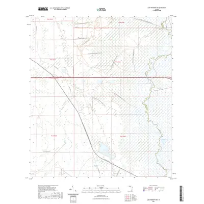 2021 Lake Poinsett NW2021 Print · USGSThe Orange and Brevard county line follows the winding Saint Johns River in this modern survey of central Florida's preserved wetlands. Researchers can trace the path of the Florida National Scenic Trl and explore landmarks like Long Bluff and Halfway Lake.
 - 2021 Map of Lake Poinsett SW, 2021 Print
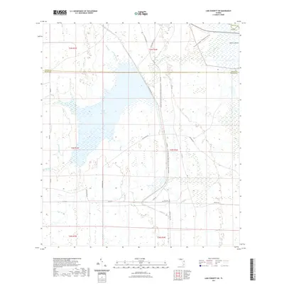 2021 Lake Poinsett SW2021 Print · USGSThe intersection of Orange, Osceola, and Brevard counties is captured here in the early twenty-first century as a land of vast reservoirs and ranch trails. Trace the drainage of Gator Branch and Beef Camp Branch or locate the historic Mulberry Mound near the Taylor Creek Reservoir.
 - 2021 Map of Sharpes, 2021 Print
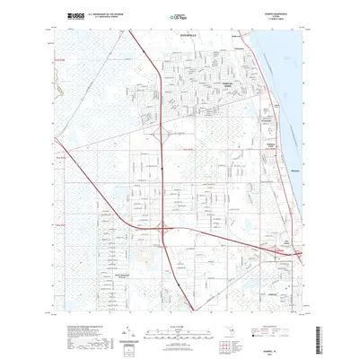 2021 Sharpes2021 Print · USGSThe Space Coast shoreline and the residential interior of Brevard County are documented in this recent survey. Researchers can trace the legacy of the Florida East Coast RR through historic riverfront points like Frontenac, City Point, and Delespine.
 - 2021 Map of Titusville SW, 2021 Print
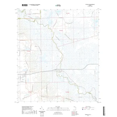 2021 Titusville SW2021 Print · USGSThe Florida wetlands of the Saint Johns River basin come to life in this recent survey of the four-county border region. Trace the historic waterways of Puzzle Lake and Lorelei Swamp, or locate landmarks like Paw Paw Mound and Bear Island.
 - 2021 Map of Pine Castle, 2021 Print
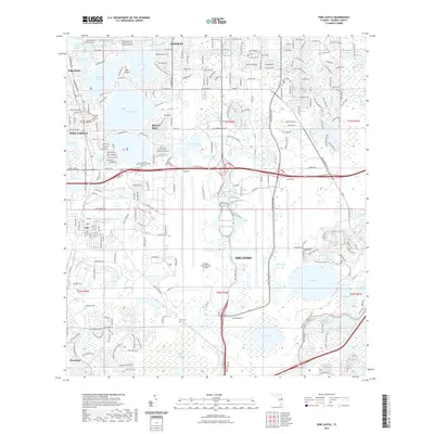 2021 Pine Castle2021 Print · USGSThe Orange County lake country south of Orlando appears in extensive detail just after the turn of the decade. Researchers can trace the sprawling grounds of the Orlando International Airport or locate local sites like Lock Cem and the settlement of Taft.
 - 2021 Map of Narcoossee NW, 2021 Print
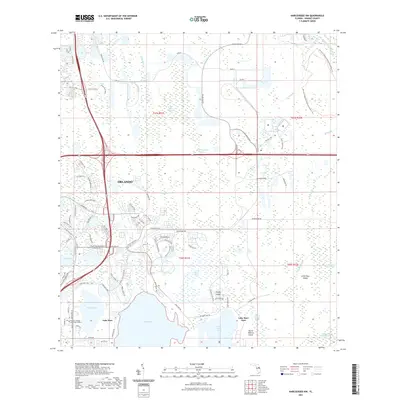 2021 Narcoossee NW2021 Print · USGSSoutheast Orlando at the start of the 2020s shows a rapid expansion of suburban infrastructure into the Florida wetlands. Researchers can trace the development of the Valencia College Lake Nona Campus and the preserved marshlands of Lake Mary Jane and Hal Scott Regional Preserve And Park.
 - 2021 Map of Intercession City, 2021 Print
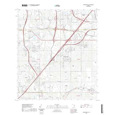 2021 Intercession City2021 Print · USGSThe Florida landscape near Celebration is captured here during a period of rapid residential and resort expansion. Genealogists and historians can trace modern developments against traditional wetlands like Reedy Creek Swamp or find sites such as the Muslim Cem of Central Florida.
 - 2021 Map of Clermont East, 2021 Print
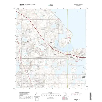 2021 Clermont East2021 Print · USGSThe Lake Wales Ridge and the shores of Lake Apopka meet in this contemporary look at the evolving landscape between Clermont and Winter Garden. Genealogists and historians can locate several historic burial sites, including the Oakland African American Cem and Minneola Cem.
 - 2021 Map of Narcoossee NE, 2021 Print
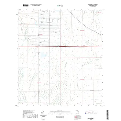 2021 Narcoossee NE2021 Print · USGSThe eastern Florida wetlands meet modern suburban growth in this 2021 record of Orange County. Researchers can trace the residential grid of Wedgefield alongside the wild Econlockhatchee River Swamp and Sandhill Crane Lake.
 - 2021 Map of Narcoossee SE, 2021 Print
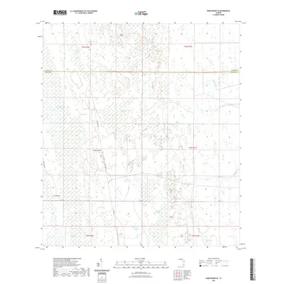 2021 Narcoossee SE2021 Print · USGSThe Orange and Osceola county line runs through this wetland-heavy interior in the early 2020s, showing a landscape defined by water and woods. Researchers can map the drainage of Econlockhatchee River Swamp, Cat Island Swamp, and the remote Raulson Head.
 - 2021 Map of Lake Louisa SW, 2021 Print
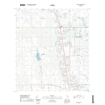 2021 Lake Louisa SW2021 Print · USGSFour Corners and the surrounding lake country appear in this recent survey at the intersection of four Florida counties. Researchers can trace modern development patterns against natural landmarks like Lake Wales Ridge, Citrus Ridge, and the Green Swamp.
 - 2021 Map of Sorrento, 2021 Print
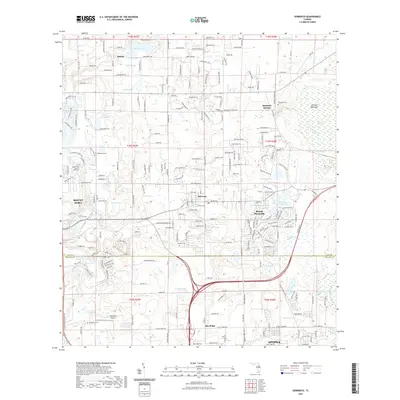 2021 Sorrento2021 Print · USGSLake County's eastern interior is captured here in the early 2020s, showing a region where citrus history meets a vast network of spring-fed waters. Researchers can locate numerous local burial sites like Seneca Cem and Seminole Cem, or trace the development around Tangerine Airport.
 - 2021 Map of Orlando East, 2021 Print
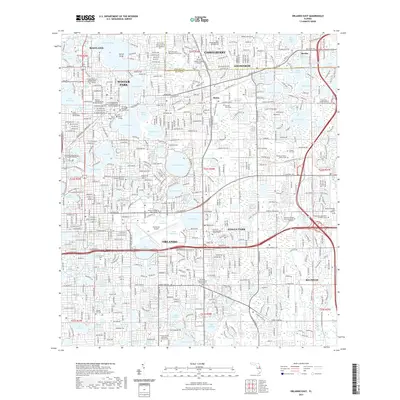 2021 Orlando East2021 Print · USGSGreater Orlando and its neighboring communities are shown in this high-resolution survey from the early twenty-first century. Genealogists and local historians can trace burial sites and institutional grounds from Pineywood Cem and Rollins College to the Executive Airport.
 - 2021 Map of Oviedo SW, 2021 Print
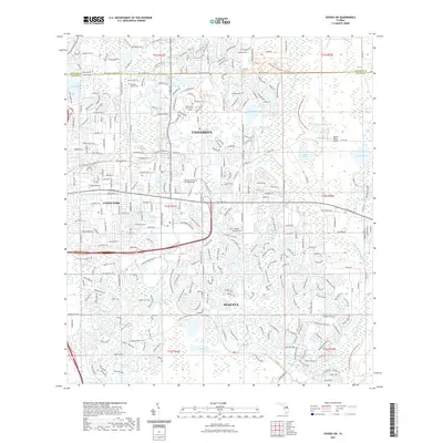 2021 Oviedo SW2021 Print · USGSOrange County's eastern suburbs and academic hubs are shown in high detail during this recent period of growth. Genealogists and local historians can locate the Drawdy-Rouse Cem or trace the early paths of McCulloch Church Rd near Lake Georgia.
 - 2021 Map of Windermere, 2021 Print
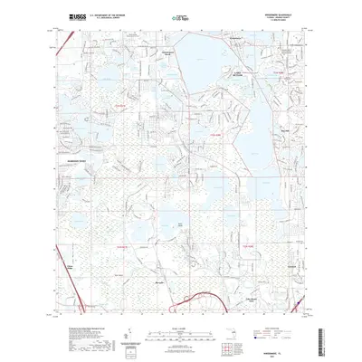 2021 Windermere2021 Print · USGSThe Florida lake country south of Windermere was undergoing significant suburban growth by the early 2020s. Researchers can trace local heritage at the Winter Garden African-American Cem, Vineland Cem, and the lakeside community of Bay Hill.
 - 2021 Map of Eustis, 2021 Print
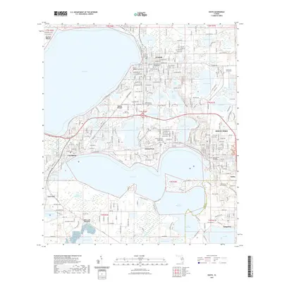 2021 Eustis2021 Print · USGSFlorida's lake country is captured in modern detail, focusing on the historic connection between Eustis and Mount Dora. Researchers can trace local heritage through sites like the Lake County Courthouse, Greenwood Cem, and Ellsworth Junction.
 - 2021 Map of Casselberry, 2021 Print
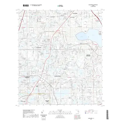 2021 Casselberry2021 Print · USGSThe Seminole County lake district comes into focus in the early 2020s, showing the dense development between Sanford and Winter Park. Trace local heritage at the Partin Family Cem or follow the Florida National Scenic Trl near Lake Jesup.
 - 2021 Map of Astatula, 2021 Print
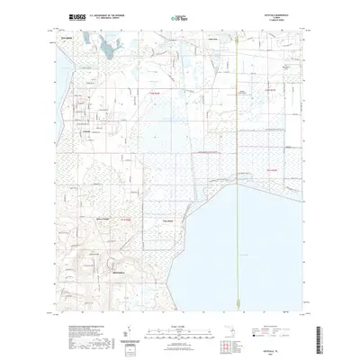 2021 Astatula2021 Print · USGSLake County's ridge country meets the shores of Lake Apopka in the early twenty-first century. Researchers can trace the elevation changes of Lake Wales Ridge and locate local landmarks such as Astatula Cem and Sugarloaf Mtn.
 - 2021 Map of Kissimmee, 2021 Print
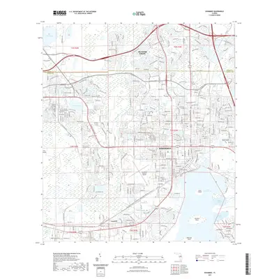 2021 Kissimmee2021 Print · USGSOsceola County at the start of the 2020s shows the dense development of Kissimmee surrounding the northern tip of Lake Tohopekaliga. Researchers can locate civic landmarks like the Osceola County Courthouse and the historic Howard Cem near the Kissimmee Gateway Airport.
 - 2021 Map of Apopka, 2021 Print
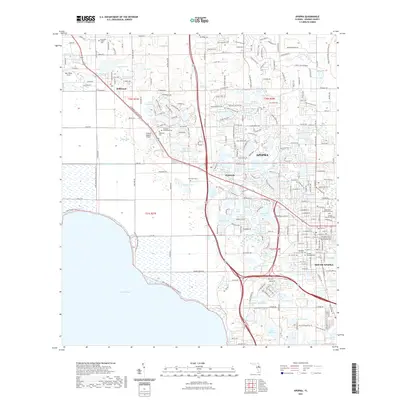 2021 Apopka2021 Print · USGSApopka and its surrounding lake country are documented here in the early twenty-first century, showing the established rail and road networks of Orange County. Researchers can locate numerous local burial grounds like Dubois Cem and Zellwood Cem or trace the Florida Central Railroad as it passes through Plymouth.
Showing maps 1-25 of 62
Top cities of Orange County
- Orlando historical maps
- Alafaya historical maps
- Horizon West historical maps
- Ocoee historical maps
- Winter Garden historical maps
- Meadow Woods historical maps
See more
Frequently asked questions
- What are the different types of historical maps available for Orange County?
- What is the oldest map of Orange County?
- Where can I purchase historical maps of Orange County for my home or office?
- Where can I download high-res historical maps of Orange County?
- Are there historical topographic maps available for Orange County?
- Is there historical aerial imagery available for Orange County?
- Where are historical maps of Orange County sourced from?