2000s (21st Century) Maps of Daytona Beach, Florida
Explore 25 historic maps of Daytona Beach from the 2000s (21st Century). These maps offer a rare glimpse into what life looked like during the 2000s — showing old roads, neighborhoods, homes, and landmarks that have changed or disappeared over time.
Whether you're researching your family's past, planning a metal detecting trip, or studying how Daytona Beach's landscape evolved across the 2000s, these high-resolution maps are a powerful tool for exploring the history of this region.
- Focus on a specific era: All maps on this page are from the 2000s, giving you a focused view of this time period.
- See what’s changed: Compare century-old streets, trails, and buildings to today's modern landscape using overlays and satellite layers.
- Research with precision: Use these maps for genealogy, historical research, land use analysis, or educational projects.
- View, download, or print: Maps are fully viewable online in high resolution, and can be downloaded or printed for your own records.
Start exploring Daytona Beach's history through authentic maps from the 2000s. This is your window into the past.
Daytona Beach, FL maps
(25)- 2012 Map of Daytona Beach, 2012 Print
 2012 Daytona Beach2012 Print · USGSCovers Daytona Beach, including Ormond Beach, South Daytona, and other nearby areas
 - 2012 Map of Ormond Beach, 2012 Print
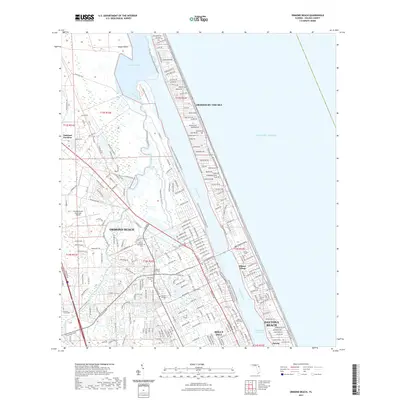
 2012 Ormond Beach2012 Print · USGSCovers Daytona Beach, including Ormond Beach, Ellinor Village, and other nearby areas
 - 2012 Map of Daytona Beach NW, 2012 Print
 2012 Daytona Beach NW2012 Print · USGSCovers Daytona Beach, including Ormond Beach, Daytona Highridge Estates, and other nearby areas
 - 2012 Map of Favoretta, 2012 Print
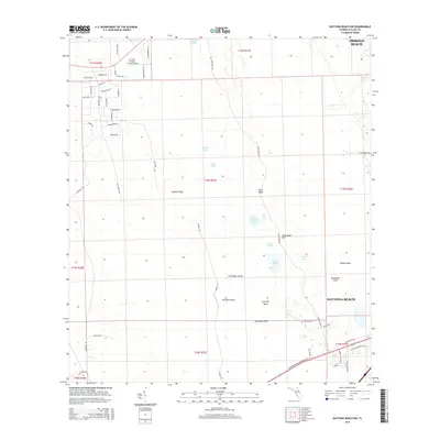
 2012 Favoretta2012 Print · USGSCovers Daytona Beach, including Ormond Beach, Bunnell, and other nearby areas
 - 2012 Map of Port Orange, 2012 Print
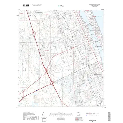
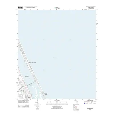 2012 Port Orange2012 Print · USGSCovers Daytona Beach, including Daytona Beach Shores, Port Orange, and other nearby areas
 - 2015 Map of Port Orange, 2015 Print
 2015 Port Orange2015 Print · USGSCovers Daytona Beach, including Daytona Beach Shores, Port Orange, and other nearby areas
 - 2015 Map of Ormond Beach, 2015 Print
 2015 Ormond Beach2015 Print · USGSCovers Daytona Beach, including Ormond Beach, Ellinor Village, and other nearby areas
 - 2015 Map of Daytona Beach, 2015 Print
 2015 Daytona Beach2015 Print · USGSCovers Daytona Beach, including Ormond Beach, South Daytona, and other nearby areas
 - 2015 Map of Daytona Beach NW, 2015 Print
 2015 Daytona Beach NW2015 Print · USGSCovers Daytona Beach, including Ormond Beach, Daytona Highridge Estates, and other nearby areas
 - 2015 Map of Favoretta, 2015 Print
 2015 Favoretta2015 Print · USGSCovers Daytona Beach, including Ormond Beach, Bunnell, and other nearby areas
 - 2018 Map of Port Orange, 2018 Print
 2018 Port Orange2018 Print · USGSCovers Daytona Beach, including Daytona Beach Shores, Port Orange, and other nearby areas
 - 2018 Map of Daytona Beach, 2018 Print
 2018 Daytona Beach2018 Print · USGSCovers Daytona Beach, including Ormond Beach, South Daytona, and other nearby areas
 - 2018 Map of Daytona Beach NW, 2018 Print
 2018 Daytona Beach NW2018 Print · USGSCovers Daytona Beach, including Ormond Beach, Daytona Highridge Estates, and other nearby areas
 - 2018 Map of Ormond Beach, 2018 Print
 2018 Ormond Beach2018 Print · USGSCovers Daytona Beach, including Ormond Beach, Ellinor Village, and other nearby areas
 - 2018 Map of Favoretta, 2018 Print
 2018 Favoretta2018 Print · USGSCovers Daytona Beach, including Ormond Beach, Bunnell, and other nearby areas
 - 2021 Map of Port Orange, 2021 Print
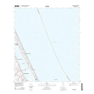
 2021 Port Orange2021 Print · USGSCovers Daytona Beach, including Daytona Beach Shores, Port Orange, and other nearby areas
 - 2021 Map of Favoretta, 2021 Print
 2021 Favoretta2021 Print · USGSCovers Daytona Beach, including Ormond Beach, Bunnell, and other nearby areas
 - 2021 Map of Daytona Beach NW, 2021 Print
 2021 Daytona Beach NW2021 Print · USGSCovers Daytona Beach, including Ormond Beach, Daytona Highridge Estates, and other nearby areas
 - 2021 Map of Daytona Beach, 2021 Print
 2021 Daytona Beach2021 Print · USGSCovers Daytona Beach, including Ormond Beach, South Daytona, and other nearby areas
 - 2021 Map of Ormond Beach, 2021 Print
 2021 Ormond Beach2021 Print · USGSCovers Daytona Beach, including Ormond Beach, Ellinor Village, and other nearby areas
 - 2024 Map of Daytona Beach, 2024 Print
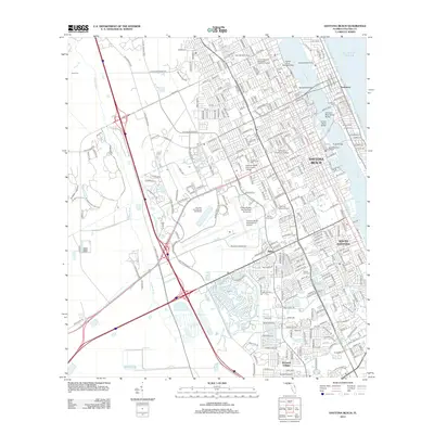
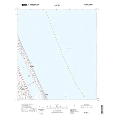
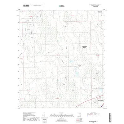
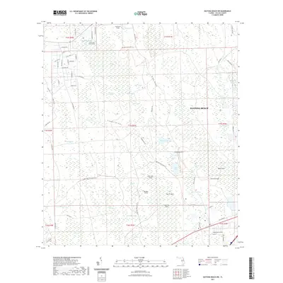
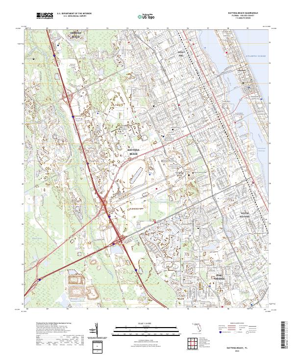 2024 Daytona Beach2024 Print · USGSThe Volusia County coastline is captured here in the early twenty-first century as a bustling hub of aviation, education, and tourism. Researchers can trace the layout of Bethune-Cookman University or locate family sites at Daytona Memorial Park.
 - 2024 Map of Daytona Beach NW, 2024 Print
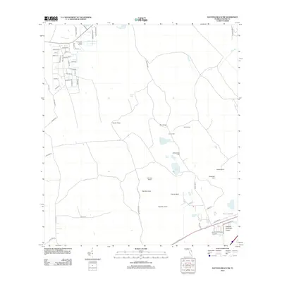
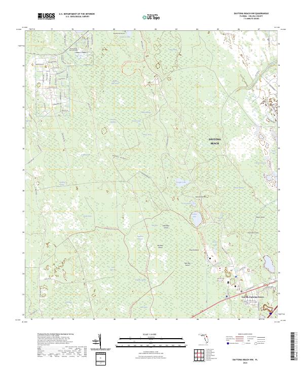 2024 Daytona Beach NW2024 Print · USGSThe Florida interior west of the coast comes into focus here, showcasing a dense network of wetlands and ridges during the early 2020s. Researchers can trace the boundaries of the Tiger Bay State Forest and locate local landmarks like Daytona Highridge Estates and Indian Lake.
 - 2024 Map of Favoretta, 2024 Print
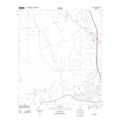
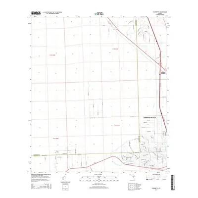
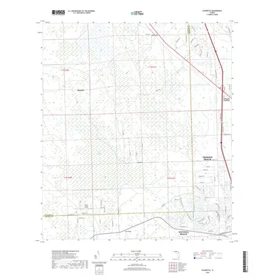
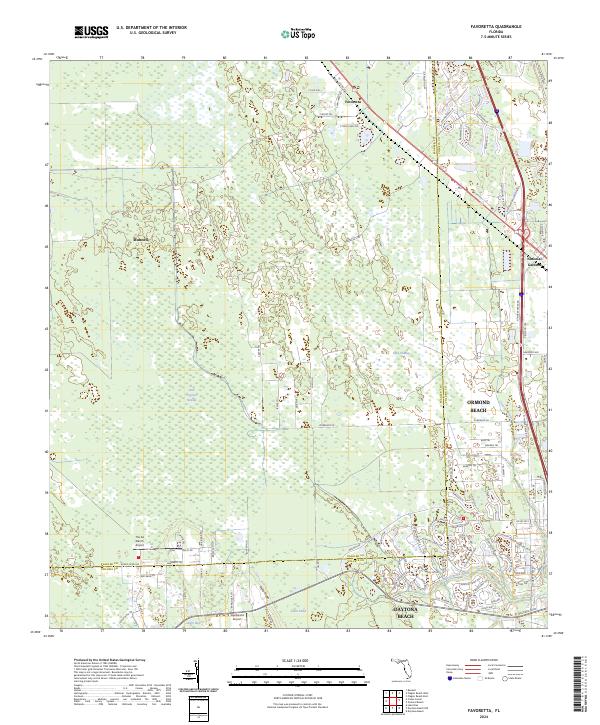 2024 Favoretta2024 Print · USGSThe Flagler and Volusia county line in the early 2020s shows a landscape of dense cypress swamps and small inland settlements. Researchers can trace the path of the Old Dixie Hwy near Favoretta or locate aviation landmarks like The 2A Ranch Airport.
 - 2024 Map of Port Orange, 2024 Print
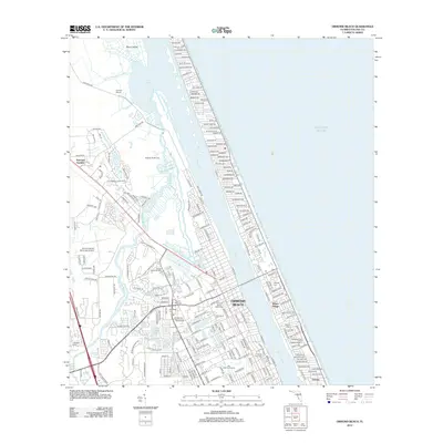
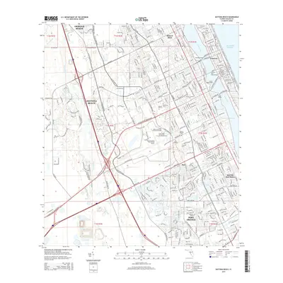
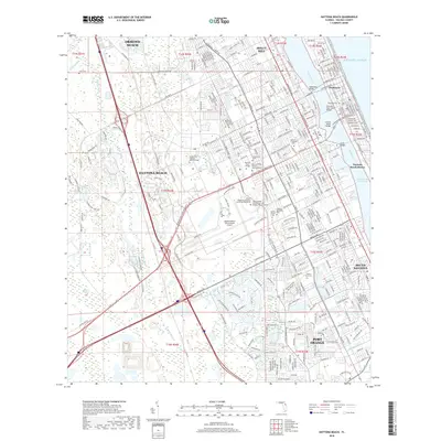
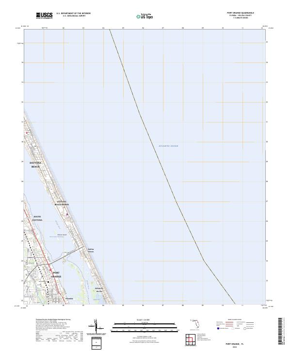 2024 Port Orange2024 Print · USGSThe Volusia County coast comes into sharp focus in this modern era, showing the dense development of the barrier island and the mainland. Researchers can trace the layout of Port Orange, locate the Woodland Cem, and explore the shoreline from Wilbur-by-the-Sea up to Daytona Beach.
 - 2024 Map of Ormond Beach, 2024 Print
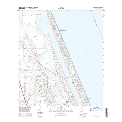
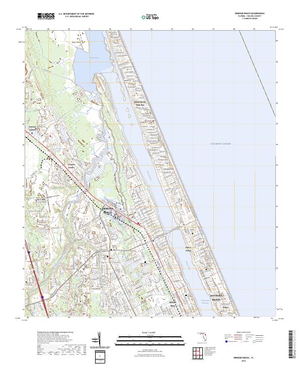 2024 Ormond Beach2024 Print · USGSThe Volusia County coast comes alive in this 2024 study of the vibrant corridor between the Halifax River and the Atlantic Ocean. Researchers can trace local heritage through sites like Pilgrims Rest Cem, Ellinor Village, and National Gardens.
End of results
Showing maps 1-25 of 25
Top cities near Daytona Beach
- Palm Coast historical maps
- Ormond Beach historical maps
- DeLand historical maps
- New Smyrna Beach historical maps
- Edgewater historical maps
- South Daytona historical maps
See more
Top neighborhoods of Daytona Beach
- Ortona historical maps
- Lakeside Village historical maps
- The Preserve at Daytona historical maps
- Pelican Bay historical maps
Frequently asked questions
- What are the different types of historical maps available for Daytona Beach?
- What is the oldest map of Daytona Beach?
- Where can I purchase historical maps of Daytona Beach for my home or office?
- Where can I download high-res historical maps of Daytona Beach?
- Are there historical topographic maps available for Daytona Beach?
- Is there historical aerial imagery available for Daytona Beach?
- Where are historical maps of Daytona Beach sourced from?