2020s Maps of Burke County, Georgia
Explore 52 historic maps of Burke County from the 2020s. These maps offer a rare glimpse into what life looked like during the 2020s — showing old roads, neighborhoods, homes, and landmarks that have changed or disappeared over time.
Whether you're researching your family's past, planning a metal detecting trip, or studying how Burke County's landscape evolved across the 2020s, these high-resolution maps are a powerful tool for exploring the history of this region.
- Focus on a specific era: All maps on this page are from the 2020s, giving you a focused view of this time period.
- See what’s changed: Compare century-old streets, trails, and buildings to today's modern landscape using overlays and satellite layers.
- Research with precision: Use these maps for genealogy, historical research, land use analysis, or educational projects.
- View, download, or print: Maps are fully viewable online in high resolution, and can be downloaded or printed for your own records.
Start exploring Burke County's history through authentic maps from the 2020s. This is your window into the past.
Burke County, GA maps
(52)- 2020 Map of Girard NW, 2020 Print
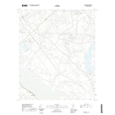 2020 Girard NW2020 Print · USGSThe Savannah River floodplain at the Aiken and Barnwell county line reveals a landscape shaped by government reservations and water. Researchers can trace the winding paths of Steel Creek, Pen Branch, and the river landing at Blue Bluff.
 - 2020 Map of Millett, 2020 Print
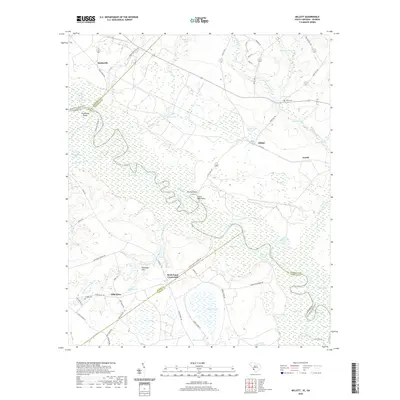 2020 Millett2020 Print · USGSAllendale County and the Savannah River borderlands are captured in this recent survey. Researchers can locate old community hubs like Hills Store, Rock Fence Crossroads, and Corinth Cem or trace the river's path past Little Hell Point.
 - 2020 Map of Jackson, 2020 Print
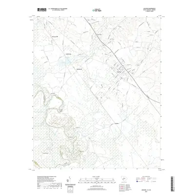 2020 Jackson2020 Print · USGSThe Savannah River corridor south of Augusta is captured here in the modern era, revealing a complex landscape of wetlands and river bends. Genealogists and local historians can trace family locations near Jackson, Silver Bluff, and the historic Rhodes Mound.
 - 2020 Map of Girard, 2020 Print
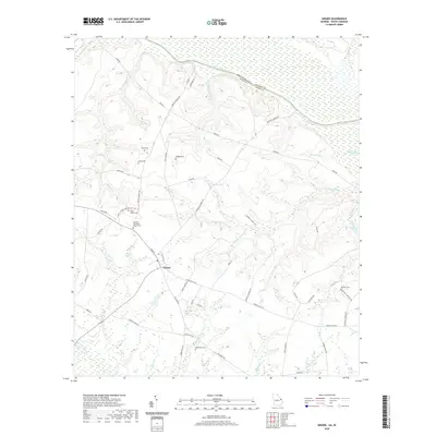 2020 Girard2020 Print · USGSGirard and the rural reaches of Burke County are captured here at the start of the 2020s. Researchers can locate numerous local landmarks including Bethany Methodist Church Cem, Bethlehem Cem, and family plots like Godbee Cem along the Savannah River valley.
 - 2020 Map of Alexander, 2020 Print
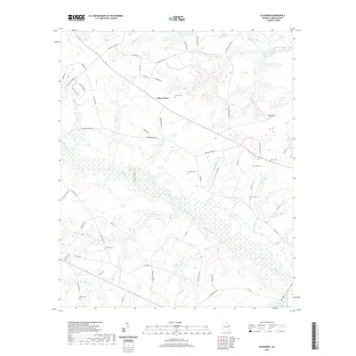 2020 Alexander2020 Print · USGSBurke County remains a landscape of deep family roots and winding waterways in the early twenty-first century. Genealogists and local historians can trace legacy sites like Alexander Cem, Foster Cem, and the rural community of Telfair Woods along the banks of Brier Creek.
 - 2020 Map of McBean, 2020 Print
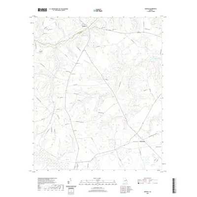 2020 McBean2020 Print · USGSThe borderlands of Richmond and Burke County are documented here in the early twenty-first century, showing a rural landscape where family history is etched into the terrain. Genealogists can locate numerous preserved burial grounds including Knight Cem and Usher Cem, alongside landmarks like Shell Bluff and McBean.
 - 2020 Map of Idlewood, 2020 Print
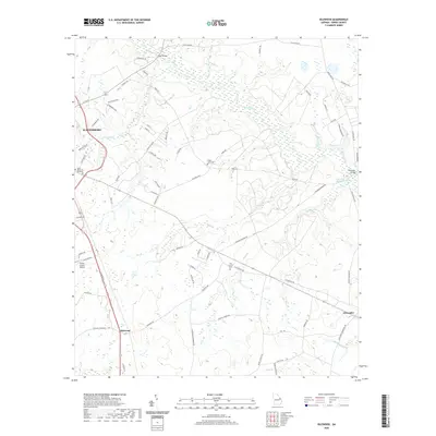 2020 Idlewood2020 Print · USGSWaynesboro and the surrounding Burke County countryside are captured here in the 2020s, showing a landscape defined by expansive creek bottomlands and rural settlements. Researchers can locate family landmarks like Walter Jones Cem, the community at Idlewood, and the historic Hatchers Millpond.
 - 2020 Map of Shell Bluff Landing, 2020 Print
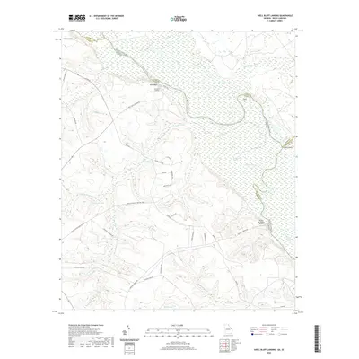 2020 Shell Bluff Landing2020 Print · USGSThe Georgia and South Carolina border along the Savannah River is captured here in the early twenty-first century. Researchers can trace the river's path through the D'Antignac Swamp and locate landmarks like Shell Bluff Landing and the Rhodes Air Ranch Airport.
 - 2020 Map of Burtons Ferry Landing, 2020 Print
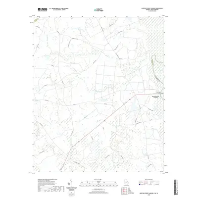 2020 Burtons Ferry Landing2020 Print · USGSThe Georgia and South Carolina borderlands come into focus in this contemporary survey of the river lowlands. Researchers can trace rural lineages at Meek Cem and Bethel Cem, or follow the ancient water routes of the Savannah River near Burtons Ferry Landing.
 - 2020 Map of Mechanic Hill, 2020 Print
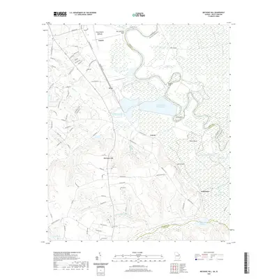 2020 Mechanic Hill2020 Print · USGSAs the suburbs and industry of Augusta expand southward toward the Savannah River, this landscape reveals a mix of old family burial grounds and modern utility. Researchers can trace rural lineages at Union Cem or Crockett Cem and locate settlements like Mechanic Hill.
 - 2020 Map of Colemans Lake, 2020 Print
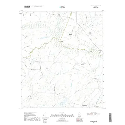 2020 Colemans Lake2020 Print · USGSThe Georgia coastal plain near Midville and Summertown is captured here in the modern era, showing a landscape defined by the Ogeechee River. Genealogists can trace family names through numerous rural burial sites like Greens Cem and Corinth Cem.
 - 2020 Map of Midville, 2020 Print
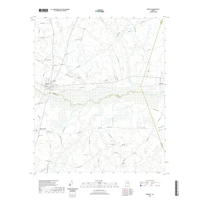 2020 Midville2020 Print · USGSMidville and the Ogeechee River valley are captured here in the early twenty-first century, showing the intersection of three Georgia counties. Genealogists can locate numerous family burial sites such as Coleman Cem, Sherrod Cem, and Walea Cem tucked away off old country roads.
 - 2020 Map of Scotts Corner, 2020 Print
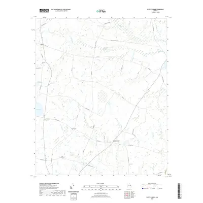 2020 Scotts Corner2020 Print · USGSRural Burke County comes into focus in this contemporary survey of the quiet settlements south of Waynesboro. Family historians can locate ancestral sites like Cason - Bynes Cem and Inman Cem while tracing the waterways of Bark Camp Cr and Turkey Pond.
 - 2020 Map of Bellevue, 2020 Print
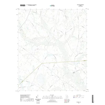 2020 Bellevue2020 Print · USGSThe Burke and Jenkins county line intersects this rural Georgia landscape near the start of the twenty-first century. Genealogists and historians can trace local family landmarks through Big Buckhead Baptist Church, Fairhaven Cem, and various plantation roads.
 - 2020 Map of Storys Millpond, 2020 Print
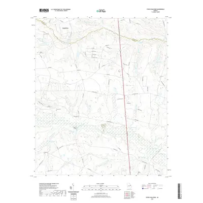 2020 Storys Millpond2020 Print · USGSThe rural borderlands between Richmond and Burke counties come into focus during this period of the twenty-first century. Researchers can trace ancestral sites and historic land use through features like Bines Slave Cem, Storys Millpond, and Walkers Bridge.
 - 2020 Map of Blythe, 2020 Print
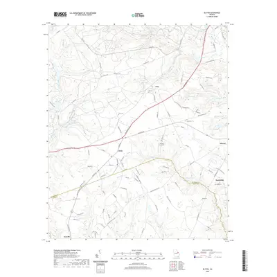 2020 Blythe2020 Print · USGSThe rural landscape southwest of Augusta is captured here as it appeared recently, straddling the Richmond and Burke County line. Genealogists and local historians can trace family locations through numerous sites like Bath Cem, Hughes Cem, and the distinctive Pea Patch Aerodrome.
 - 2020 Map of Old Town, 2020 Print
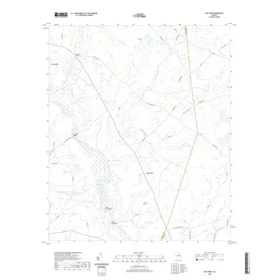 2020 Old Town2020 Print · USGSThe Ogeechee River lowlands near Louisville are captured here in the early twenty-first century, showing a landscape defined by river bends and rural road networks. You can locate family burial sites at Street Place Cem or trace the river's loops at the Upper Roundabout.
 - 2020 Map of Keysville, 2020 Print
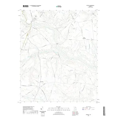 2020 Keysville2020 Print · USGSThe borderlands of Jefferson and Burke counties are defined by the winding waters of Brier Creek in the modern era. Genealogists can trace family names at Keysville Community Cem, Hopeful Cem, and the historic Farmers Bridge crossing.
 - 2020 Map of Matthews, 2020 Print
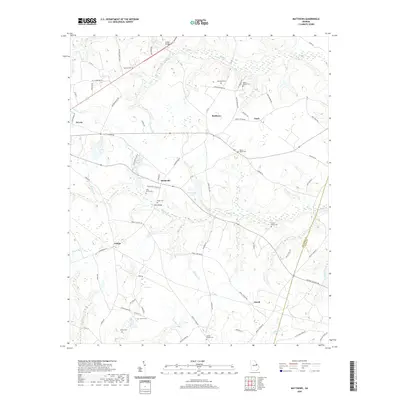 2020 Matthews2020 Print · USGSThe rural communities of Jefferson and Burke counties are preserved here in the late twenty-teens, showing the enduring layout of the Georgia coastal plain. Genealogists can locate family-named landmarks like Beasley Cem and settlements such as Stellaville or Zebina.
 - 2020 Map of Gough, 2020 Print
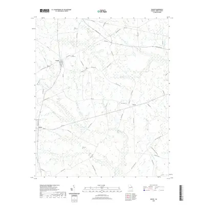 2020 Gough2020 Print · USGSThe Burke County countryside near Gough and Vidette reveals a deeply rooted landscape of family landholdings and small rural crossroads. Researchers can trace ancestral locations through numerous burial sites like Joan Society Cem, Rose Dhu Cem, and Taylor Cem.
 - 2020 Map of Avondale, 2020 Print
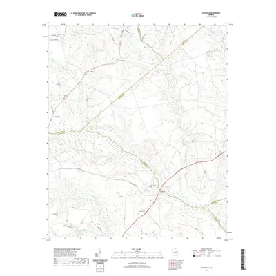 2020 Avondale2020 Print · USGSThe rural borderlands of Richmond and McDuffie counties are documented here in the modern era, showing a landscape shaped by creek systems and deep family roots. Researchers can trace numerous ancestral sites, from Silver Run Cem and Reeves Family Cem to the waters of James Pond.
 - 2020 Map of Kellys Pond, 2020 Print
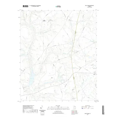 2020 Kellys Pond2020 Print · USGSThe Jefferson and Burke County line near Vidette is captured here in the early twenty-first century, showing a landscape of family plantations and rural homesteads. Local historians can trace family land markers like Ellis Plantation and numerous burial sites including McBride Cem and Rose Dhu Cem.
 - 2020 Map of Waynesboro, 2020 Print
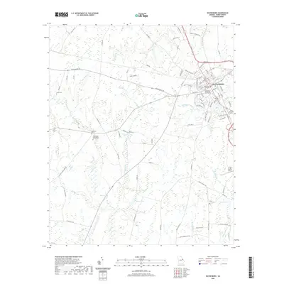 2020 Waynesboro2020 Print · USGSIn the heart of Burke County during the early twenty-first century, Waynesboro remains a classic Southern county seat. Genealogists can trace local legacies across numerous family and memorial sites, including the Waynesboro Confederate Memorial Cem, Applewhite Cem, and Bynes Grove Cem.
 - 2020 Map of Hilltonia, 2020 Print
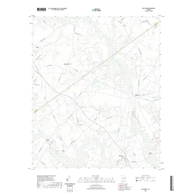 2020 Hilltonia2020 Print · USGSScreven and Burke counties are shown here at the turn of the twenty-first century, centered on the wetlands of Brier Creek. Researchers can locate family landmarks like Jenkins Cem and Lovetts Cem or trace the old roads near Sardis and Millhaven.
 - 2020 Map of Perkins, 2020 Print
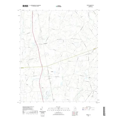 2020 Perkins2020 Print · USGSCoastal plain farming and family legacies define this Georgia landscape in the early twenty-first century. Researchers can trace rural lineages through numerous sites like Magnolia Cem, Green Fork Cem, and the old community at Munnerlyn.
Showing maps 1-25 of 52
Top cities of Burke County
- Waynesboro historical maps
- Sardis historical maps
- Midville historical maps
- Girard historical maps
- Vidette historical maps
Frequently asked questions
- What are the different types of historical maps available for Burke County?
- What is the oldest map of Burke County?
- Where can I purchase historical maps of Burke County for my home or office?
- Where can I download high-res historical maps of Burke County?
- Are there historical topographic maps available for Burke County?
- Is there historical aerial imagery available for Burke County?
- Where are historical maps of Burke County sourced from?