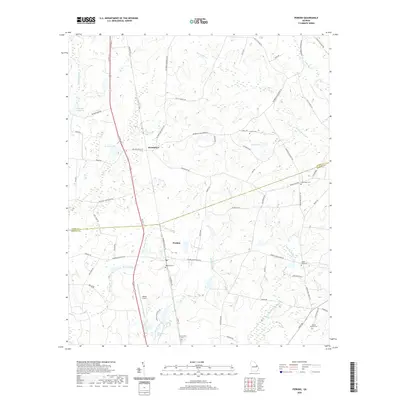
2020 Map of Perkins
USGS Topo · Published 2020About this map
Perkins and Munnerlyn anchor this rural landscape in eastern Georgia, where the boundary between Burke and Jenkins counties divides a region defined by its creeks and family burial grounds. The terrain is marked by a network of drainage ways including Dooley Branch, Spring Mill Br, and Little Buckhead Cr, which have historically shaped the agricultural layout of these communities.
Find a feature on this map
68 named features on this map. Tap any name to fly to it.
Don’t see what you’re looking for? This feature index may not catch every label — zoom into the map to look around manually.
Map Details
Editions of this 2020 Perkins Map
This is the sole edition of this map. No revisions or reprints were ever made.
Other maps of this area

1919 · Gough
USGS Topo · 1:62,500

1920 · Millen
USGS Topo · 1:62,500

1920 · Greens Cut
USGS Topo · 1:62,500

1943 · Greens Cut
USGS Topo · 1:62,500

1943 · Millen
USGS Topo · 1:62,500

1943 · Augusta East
USGS Topo · 1:125,000

1943 · Millen
USGS Topo · 1:125,000

1947 · Savannah
USGS Topo · 1:250,000

1948 · Savannah
USGS Topo · 1:250,000

1948 · Gough
USGS Topo · 1:62,500