2000s (21st Century) Maps of Burke County, Georgia
Explore 130 historic maps of Burke County from the 2000s (21st Century). These maps offer a rare glimpse into what life looked like during the 2000s — showing old roads, neighborhoods, homes, and landmarks that have changed or disappeared over time.
Whether you're researching your family's past, planning a metal detecting trip, or studying how Burke County's landscape evolved across the 2000s, these high-resolution maps are a powerful tool for exploring the history of this region.
- Focus on a specific era: All maps on this page are from the 2000s, giving you a focused view of this time period.
- See what’s changed: Compare century-old streets, trails, and buildings to today's modern landscape using overlays and satellite layers.
- Research with precision: Use these maps for genealogy, historical research, land use analysis, or educational projects.
- View, download, or print: Maps are fully viewable online in high resolution, and can be downloaded or printed for your own records.
Start exploring Burke County's history through authentic maps from the 2000s. This is your window into the past.
Burke County, GA maps
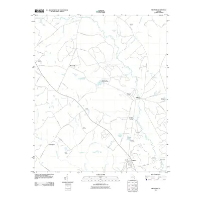
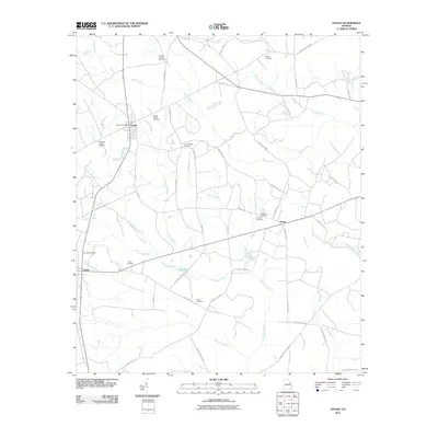
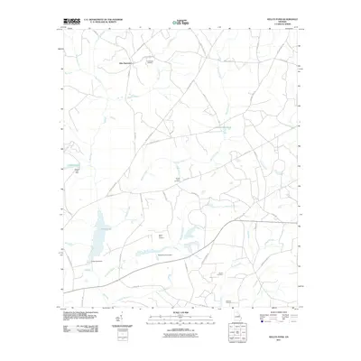
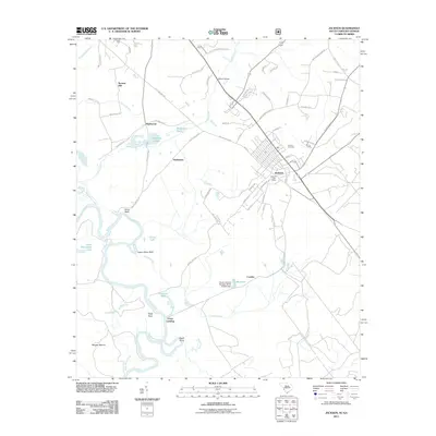
(130)- 2011 Map of McBean, 2011 Print
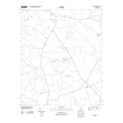 2011 McBean2011 Print · USGSCovers Burke County, including Augusta, Shell Bluff, and other nearby areas
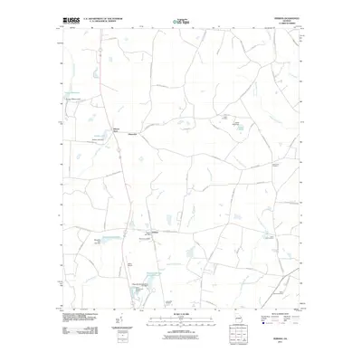
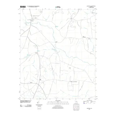
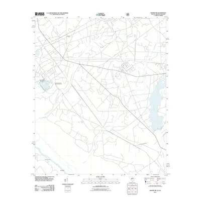
 - 2011 Map of Idlewood, 2011 Print
 2011 Idlewood2011 Print · USGSCovers Burke County, including Waynesboro, Old Church, and other nearby areas
 - 2011 Map of Alexander, 2011 Print
 2011 Alexander2011 Print · USGSCovers Burke County, including Telfair Woods, United States, and other nearby areas
 - 2011 Map of Scotts Corner, 2011 Print
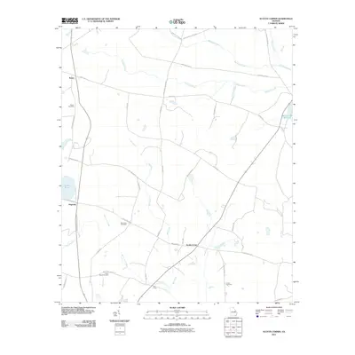 2011 Scotts Corner2011 Print · USGSCovers Burke County, including Magruder, Rosier, and other nearby areas
 - 2011 Map of Bellevue, 2011 Print
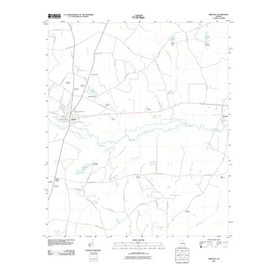
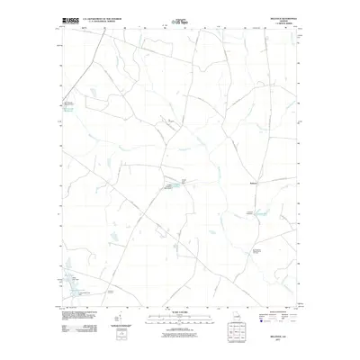 2011 Bellevue2011 Print · USGSCovers Burke County, including Bellevue, Jenkins County, and other nearby areas
 - 2011 Map of Colemans Lake, 2011 Print
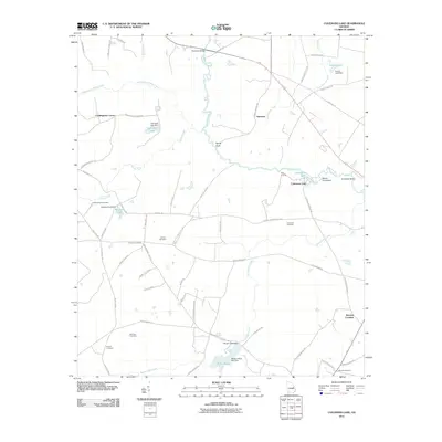 2011 Colemans Lake2011 Print · USGSCovers Burke County, including Midville, Summertown, and other nearby areas
 - 2011 Map of Midville, 2011 Print
 2011 Midville2011 Print · USGSCovers Burke County, including Midville, Three Points, and other nearby areas
 - 2011 Map of Old Town, 2011 Print
 2011 Old Town2011 Print · USGSCovers Burke County, including Louisville, Old Town, and other nearby areas
 - 2011 Map of Hilltonia, 2011 Print
 2011 Hilltonia2011 Print · USGSCovers Burke County, including Sardis, Hiltonia, and other nearby areas
 - 2011 Map of Perkins, 2011 Print
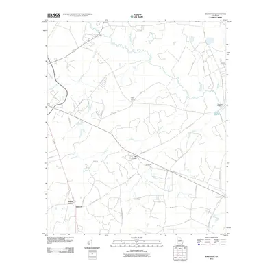
 2011 Perkins2011 Print · USGSCovers Burke County, including Perkins, Munnerlyn, and other nearby areas
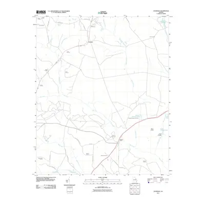
 - 2011 Map of Sardis, 2011 Print
 2011 Sardis2011 Print · USGSCovers Burke County, including Sardis, Old Sardis, and other nearby areas
 - 2011 Map of Avondale, 2011 Print
 2011 Avondale2011 Print · USGSCovers Burke County, including Augusta, Avondale, and other nearby areas
 - 2011 Map of Gough, 2011 Print
 2011 Gough2011 Print · USGSCovers Burke County, including Vidette, Drone, and other nearby areas
 - 2011 Map of Matthews, 2011 Print
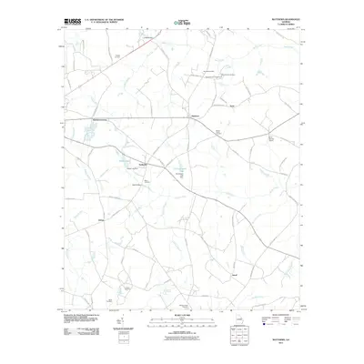 2011 Matthews2011 Print · USGSCovers Burke County, including Wrens, Stellaville, and other nearby areas
 - 2011 Map of Keysville, 2011 Print
 2011 Keysville2011 Print · USGSCovers Burke County, including Augusta, Hephzibah, and other nearby areas
 - 2011 Map of Blythe, 2011 Print
 2011 Blythe2011 Print · USGSCovers Burke County, including Augusta, Hephzibah, and other nearby areas
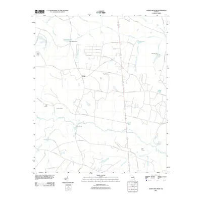
 - 2011 Map of Kellys Pond, 2011 Print
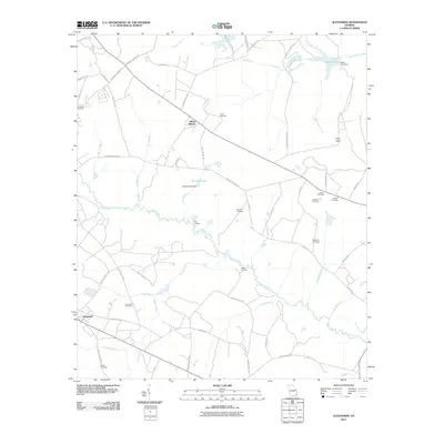
 2011 Kellys Pond2011 Print · USGSCovers Burke County, including Vidette, Ellis Plantation, and other nearby areas
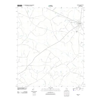
 - 2011 Map of Waynesboro, 2011 Print
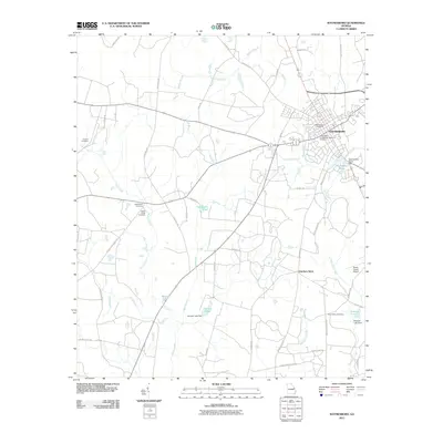 2011 Waynesboro2011 Print · USGSCovers Burke County, including Waynesboro, Hatchers Store, and other nearby areas
 - 2011 Map of Storys Millpond, 2011 Print
 2011 Storys Millpond2011 Print · USGSCovers Burke County, including Augusta, Hephzibah, and other nearby areas
 - 2011 Map of Burtons Ferry Landing, 2011 Print
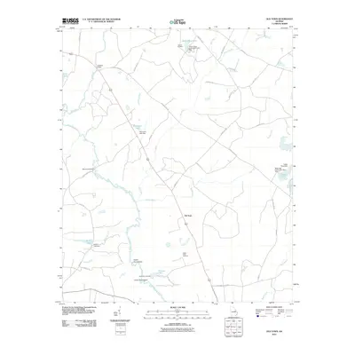
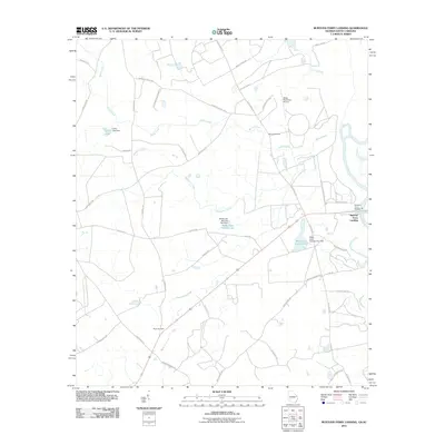 2011 Burtons Ferry Landing2011 Print · USGSCovers Burke County, including Screven County, Allendale County, and other nearby areas
 - 2011 Map of Jackson, 2011 Print
 2011 Jackson2011 Print · USGSCovers Burke County, including Augusta, Jackson, and other nearby areas
 - 2011 Map of Girard NW, 2011 Print
 2011 Girard NW2011 Print · USGSCovers Burke County, including Aiken County, Barnwell County, and other nearby areas
 - 2011 Map of Millett, 2011 Print
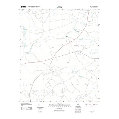
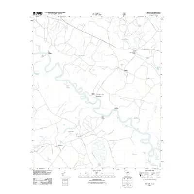 2011 Millett2011 Print · USGSCovers Burke County, including Averill, Browns Landing, and other nearby areas
 - 2011 Map of Mechanic Hill, 2011 Print
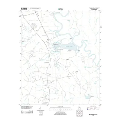 2011 Mechanic Hill2011 Print · USGSCovers Burke County, including Augusta, Tahoma, and other nearby areas
 - 2011 Map of Shell Bluff Landing, 2011 Print
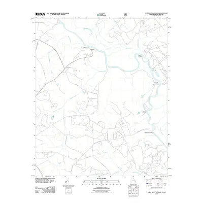 2011 Shell Bluff Landing2011 Print · USGSCovers Burke County, including Augusta, Hancock Landing, and other nearby areas
Showing maps 1-25 of 130
Top cities of Burke County
- Waynesboro historical maps
- Sardis historical maps
- Midville historical maps
- Girard historical maps
- Vidette historical maps
Frequently asked questions
- What are the different types of historical maps available for Burke County?
- What is the oldest map of Burke County?
- Where can I purchase historical maps of Burke County for my home or office?
- Where can I download high-res historical maps of Burke County?
- Are there historical topographic maps available for Burke County?
- Is there historical aerial imagery available for Burke County?
- Where are historical maps of Burke County sourced from?