Old Maps of Middle Place, Georgia for Academic Research
Study the evolution of Middle Place with 15 high-resolution historic maps. Whether you're teaching, researching, or modeling changes in land use, these maps provide essential visual documentation of urban, environmental, and geographic change.
- Analyze long-term change: Track patterns in development, transportation, and natural features.
- Ideal for environmental or urban studies: Support academic projects with primary historical map data.
- Use in the classroom or lab: Educators and researchers rely on these maps to bring historical context to life.
These maps are a powerful tool for teaching, research, and visualizing how Middle Place has changed over the decades.
Middle Place, GA maps
(15)- 1944 Map of Ossabaw Island, 1963 Print
 1944 Ossabaw Island1963 Print · USGSCoastal Georgia's barrier islands and river networks come to life in this mid-century survey of the Ogeechee and Skidaway basins. Researchers can locate historical sites like Fort McAllister, the Kilkenny Club, and the vanished Cheves Mill Chimney among the tidal marshes.
 - 1945 Map of Ossabaw Island
 1945 Ossabaw Island1945 Print · USGSThe Georgia coast at the end of the war is a complex world of tidal rivers and historic fortifications. Genealogists and local historians can trace family-named sites and landmarks like Cheves Mill Chimney, Adams Chimney, and the Kilkenny Club among the winding creeks.
 - 1946 Map of Brunswick, 1948 Print
 1946 Brunswick1948 Print · USGSCoastal Georgia in the mid-forties reveals a landscape defined by the Camp Stewart Military Reservation and the sprawling barrier islands. Genealogists and historians can trace the rail-and-river network through inland towns like Ludowici and Jesup, or locate coastal landmarks like the St Simon Light.
 - 1948 Map of Brunswick
 1948 Brunswick1948 Print · USGSCoastal Georgia in the late 1940s is defined here by its labyrinthine barrier islands and the massive footprint of Camp Stewart. Genealogists and historians can trace the rail-tied growth of Jesup and Hinesville or locate coastal landmarks like St Simon Light.
 - 1956 Map of Brunswick, 1968 Print
 1956 Brunswick1968 Print · USGSThe Georgia coast in the mid-twentieth century is a wild expanse of barrier islands and massive river deltas. You can trace the development of the maritime economy and military presence at Brunswick, or locate historic sites like Fort Frederica National Monument and Harris Neck National Wildlife Refuge.2 unique versions available
 - 1957 Map of Raccoon Key, 1959 Print
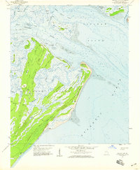 1957 Raccoon Key1959 Print · USGSCoastal Georgia's sea island landscape is captured here in the late fifties, showing the intricate tidal networks of Ossabaw Island. Researchers can trace the early paths of Main Road and Beach Road to isolated spots like Middle Place.2 unique versions available
 - 1961 Map of Brunswick
 1961 Brunswick1961 Print · USGSThe Georgia coast at the start of the 1960s was a landscape of deep tidal marshes and growing military installations. Genealogists and historians can trace rail-linked towns like Limerick Station or explore coastal landmarks from Fort Frederica National Monument to Sapelo Island.
 - 1978 Map of Brunswick
 1978 Brunswick1978 Print · USGSThe Georgia coast and its barrier islands are captured in the late 1970s, as I-95 and the rail lines shaped the growth of coastal towns. Genealogists and historians can trace family locations across the islands or locate sites near Fort Stewart, Darien, and Ludowici.2 unique versions available
 - 1979 Map of Raccoon Key, 1980 Print
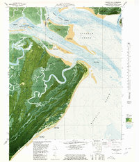 1979 Raccoon Key1980 Print · USGSCoastal Georgia's barrier islands and tidal marshes are captured in the late seventies, showing the primitive road networks and isolated landings of Ossabaw Island. Researchers can trace the winding Cabbage River and locate historic sites like Torreys Landing and Middle Place.2 unique versions available
 - 1981 Map of Jesup, 1982 Print
 1981 Jesup1982 Print · USGSCoastal Georgia in the early eighties shows a landscape of expansive river deltas and military reservations stretching from the interior to the Atlantic. Genealogists and local historians can trace family locations near Jesup, the old port of Sunbury, or the tidal reaches of the Altamaha River.
 - 2011 Map of Raccoon Key, 2011 Print
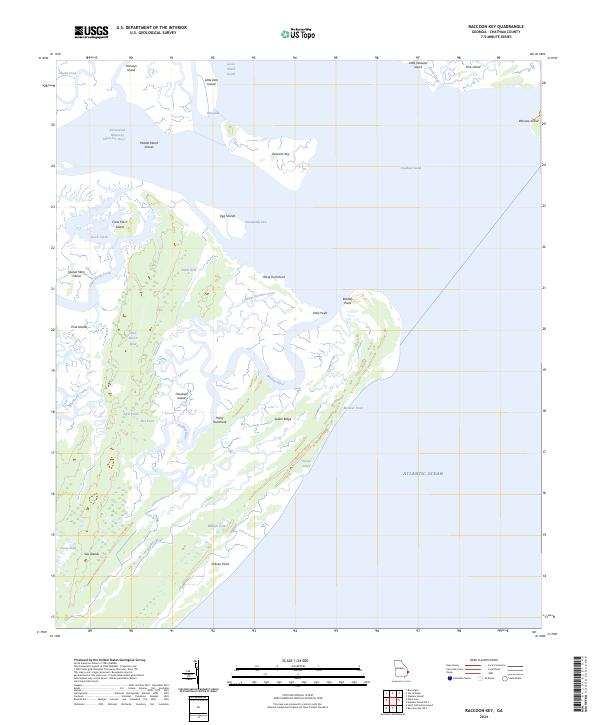
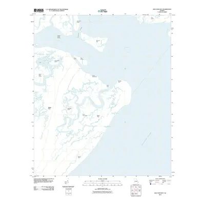 2011 Raccoon Key2011 Print · USGSCovers Middle Place, including Chatham County, United States, and other nearby areas
 - 2014 Map of Raccoon Key, 2014 Print
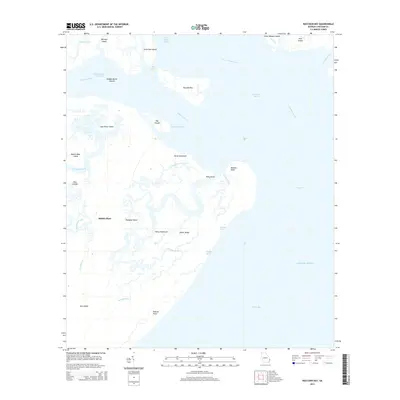 2014 Raccoon Key2014 Print · USGSCovers Middle Place, including Chatham County, United States, and other nearby areas
 - 2017 Map of Raccoon Key, 2017 Print
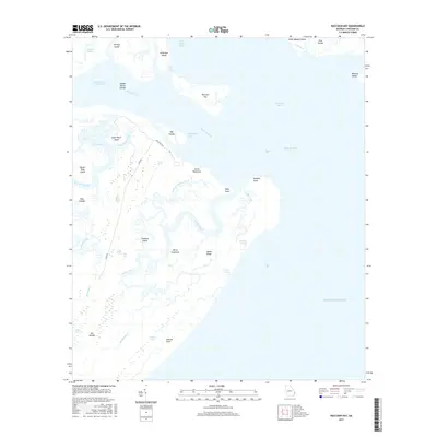 2017 Raccoon Key2017 Print · USGSCovers Middle Place, including Chatham County, United States, and other nearby areas
 - 2020 Map of Raccoon Key, 2020 Print
 2020 Raccoon Key2020 Print · USGSCovers Middle Place, including Chatham County, United States, and other nearby areas
 - 2024 Map of Raccoon Key, 2024 Print
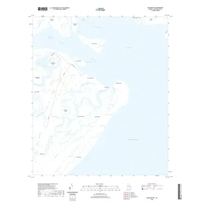
 2024 Raccoon Key2024 Print · USGSThe Georgia coast remains a labyrinth of tidal marshes and sea islands in this modern survey of the Savannah shoreline. Researchers can trace the complex waterways from Hell Gate to Ossabaw Sound, or locate isolated landmarks like Raccoon Key and Horse Hammock.
End of results
Showing maps 1-15 of 15
Top cities near Middle Place
- Savannah historical maps
- Richmond Hill historical maps
- Wilmington Island historical maps
- Georgetown historical maps
- Skidaway Island historical maps
- Montgomery historical maps
See more
Frequently asked questions
- What are the different types of historical maps available for Middle Place?
- What is the oldest map of Middle Place?
- Where can I purchase historical maps of Middle Place for my home or office?
- Where can I download high-res historical maps of Middle Place?
- Are there historical topographic maps available for Middle Place?
- Is there historical aerial imagery available for Middle Place?
- Where are historical maps of Middle Place sourced from?