2010s Maps of Clay County, Georgia
Explore 33 historic maps of Clay County from the 2010s. These maps offer a rare glimpse into what life looked like during the 2010s — showing old roads, neighborhoods, homes, and landmarks that have changed or disappeared over time.
Whether you're researching your family's past, planning a metal detecting trip, or studying how Clay County's landscape evolved across the 2010s, these high-resolution maps are a powerful tool for exploring the history of this region.
- Focus on a specific era: All maps on this page are from the 2010s, giving you a focused view of this time period.
- See what’s changed: Compare century-old streets, trails, and buildings to today's modern landscape using overlays and satellite layers.
- Research with precision: Use these maps for genealogy, historical research, land use analysis, or educational projects.
- View, download, or print: Maps are fully viewable online in high resolution, and can be downloaded or printed for your own records.
Start exploring Clay County's history through authentic maps from the 2010s. This is your window into the past.
Clay County, GA maps
(33)- 2011 Map of Fort Gaines NE, 2011 Print
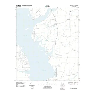 2011 Fort Gaines NE2011 Print · USGSThe Georgia-Alabama borderlands come into focus here during the early twenty-first century, centered on the expansive waters of the Walter F George Reservoir. Genealogists and local historians can trace family markers at the New Lowell Cemetery or explore the rural hubs of Days Crossroads and Moores Crossroads.
 - 2011 Map of Fort Gaines NW, 2011 Print
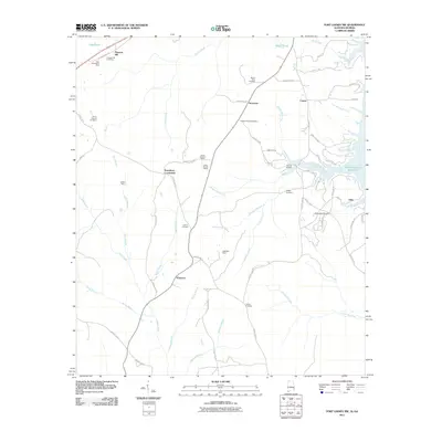 2011 Fort Gaines NW2011 Print · USGSHenry County at the turn of the decade is marked by quiet crossroads and a landscape shaped by both mining and the reservoir. Family history researchers can locate several rural burying grounds including Chester Chapel Cemetery and Liberty Cemetery, alongside mines such as Mathison Mine.2 unique versions available
 - 2011 Map of Hatcher, 2011 Print
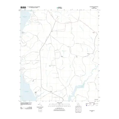 2011 Hatcher2011 Print · USGSQuitman County at the turn of the decade shows a landscape shaped by the Walter F George Reservoir and a network of traditional rural settlements. Genealogists and historians can trace family locations near the Old Pataula Cemetery, Saint Paul Cemetery, and the community of Hatcher.
 - 2011 Map of Eufaula South, 2011 Print
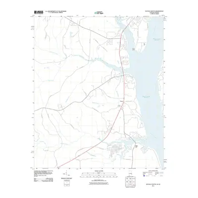 2011 Eufaula South2011 Print · USGSBarbour County’s riverfront comes into focus in this early twenty-first-century survey of the Alabama-Georgia border. Genealogists and local historians can locate Sardis Cemetery and trace the development of riverside communities like Terese and White Oak.2 unique versions available
 - 2011 Map of Fort Gaines, 2011 Print
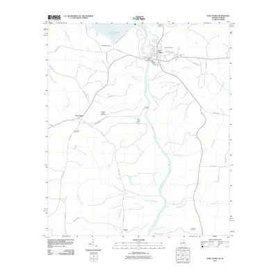 2011 Fort Gaines2011 Print · USGSFort Gaines and the Chattahoochee River borderland are captured here in the early twenty-first century as the river reaches the state line. Genealogists and local historians can locate family sites at Rose Hill Cemetery, the community of Shorterville, and landmarks like the Walter F George Lock and Dam.
 - 2011 Map of Columbia NE, 2011 Print
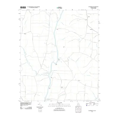 2011 Columbia NE2011 Print · USGSThe Chattahoochee River forms the central spine of this rural region at the Alabama-Georgia border during the early twenty-first century. Genealogists and local historians can trace family ties at Bethel Cemetery, locate the site of Barnes, or explore river landings like Hutchins Landing.
 - 2011 Map of Zetto, 2011 Print
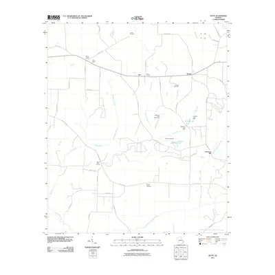 2011 Zetto2011 Print · USGSClay County at the start of the 2010s reveals a quiet agricultural landscape of crossroads and creek-side mills. Researchers can trace the heritage of local families through Harrisons Mill, Zetto, and five distinct burial grounds including Wesley Cemetery.
 - 2011 Map of Bluffton, 2011 Print
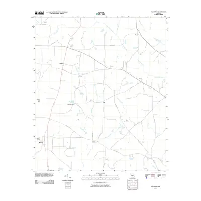 2011 Bluffton2011 Print · USGSThis Southwest Georgia landscape in the early twenty-first century reveals a deeply rooted rural community organized around small settlements and creek drainages. Researchers can locate family landmarks such as Vilulah Cemetery, Suttons Corner, and the waters of Spring Creek.
 - 2011 Map of Morris, 2011 Print
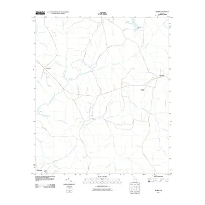 2011 Morris2011 Print · USGSQuitman County at the turn of the decade is defined by its quiet rural settlements and the winding waters of Pataula Creek. Genealogists and local historians can trace family-named roads and remote landmarks like Springvale Cemetery and the Perkins Lookout Tower.
 - 2011 Map of Coleman, 2011 Print
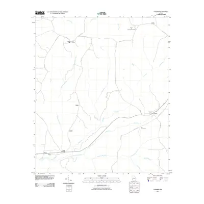 2011 Coleman2011 Print · USGSRandolph County's rural landscape is captured here in the early twenty-first century, showcasing a region defined by agricultural traditions and historic crossroads. Genealogists can locate family landmarks such as Shiloh Cemetery, Cotton Hill, and the community of Pecan.
 - 2011 Map of Blakely North, 2011 Print
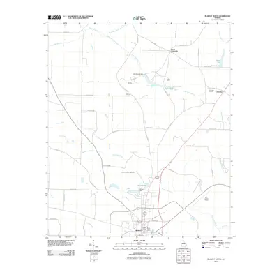 2011 Blakely North2011 Print · USGSThe city of Blakely and its surrounding Early County farmland are captured here in the early twenty-first century. Researchers can trace family roots through several local burial grounds like Mount Hope Cemetery and Hayes Cemetery or locate landmarks like Camp Hicita.
 - 2014 Map of Hatcher, 2014 Print
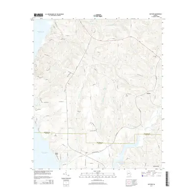 2014 Hatcher2014 Print · USGSThe borderlands of Quitman and Clay counties are shown here as they appeared in the early twenty-first century, bounded by the Walter F George Reservoir. Local historians can trace family roots at Old Pataula Cem and Saint Paul Cem, or locate small settlements like Hatcher and Garnersville.
 - 2014 Map of Zetto, 2014 Print
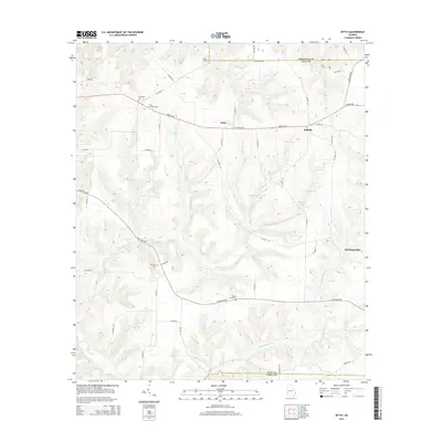 2014 Zetto2014 Print · USGSClay County and the Randolph border are captured here in the early twenty-first century, showing a rural landscape defined by its waterways and family landholdings. Researchers can locate several historic burial grounds like M Zion Cem and landmarks such as Harrisons Mill or the Clay Lookout Tower.
 - 2014 Map of Fort Gaines NE, 2014 Print
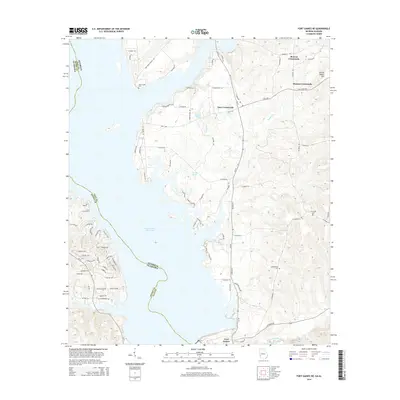 2014 Fort Gaines NE2014 Print · USGSThe Georgia-Alabama borderlands appear in the early twenty-first century as the reservoir shoreline meets rural Clay County crossroads. Genealogists can locate family landmarks like New Lowell Cem, Johnny Moore Hill, and the community at Moores Crossroads.
 - 2014 Map of Fort Gaines, 2014 Print
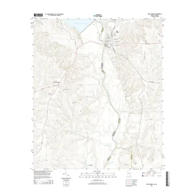 2014 Fort Gaines2014 Print · USGSThe Chattahoochee River valley and the borderlands of Georgia and Alabama are captured here in the early twenty-first century. Genealogists and local historians can trace burial sites like Rose Hill Cem and Shorterville Cem or the river crossings at Killen Bridge.
 - 2014 Map of Columbia NE, 2014 Print
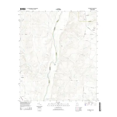 2014 Columbia NE2014 Print · USGSThe Alabama and Georgia state line meets at the winding Chattahoochee River in the mid-2010s. Researchers can locate family landmarks such as Sardis Cemetery or trace the rural landscape around Haleburg and the small airfield at Coates Airport.
 - 2014 Map of Coleman, 2014 Print
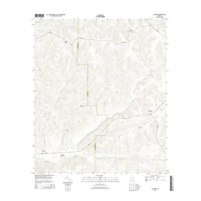 2014 Coleman2014 Print · USGSRandolph and Clay Counties are captured in this modern survey of Southwest Georgia. Genealogists and historians can trace family roots through several rural landmarks, including New Hope Cemetery, Pecan Cemetery, and the community at Coleman.
 - 2014 Map of Morris, 2014 Print
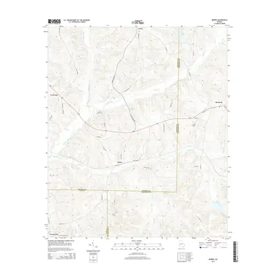 2014 Morris2014 Print · USGSThe tri-county junction of Quitman, Clay, and Randolph counties comes into focus in this early twenty-first-century survey. Local researchers can trace family lands near Morris, locate the Springvale Cem, or follow the winding course of Pataula Creek.
 - 2014 Map of Blakely North, 2014 Print
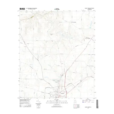 2014 Blakely North2014 Print · USGSEarly County comes into focus in this mid-2010s survey, showing the town of Blakely and its surrounding rural cemetery and lake systems. Genealogists can trace family names at Mt Hope Cemetery or Colomokee Cemetery and locate the historic Indian Mounds.
 - 2014 Map of Bluffton, 2014 Print
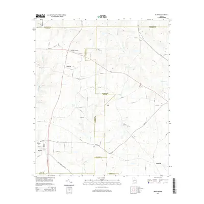 2014 Bluffton2014 Print · USGSIn Southwest Georgia during the early 2010s, this rural landscape across Calhoun and Clay counties remained centered on small hamlets and family land. Genealogists and historians can locate rural burial sites like Mars Hill Cem and Vincent Cem or trace the early foundations of Bluffton and Suttons Corner.
 - 2014 Map of Eufaula South, 2014 Print
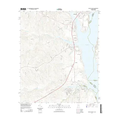 2014 Eufaula South2014 Print · USGSThe Alabama-Georgia borderlands south of Eufaula are defined by the wide waters of the reservoir in the mid-2010s. Researchers can trace rural lineages through Sardis Cem and the small communities of Terese and White Oak.
 - 2014 Map of Fort Gaines NW, 2014 Print
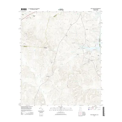 2014 Fort Gaines NW2014 Print · USGSHenry County, Alabama, and the Chattahoochee River border are shown here in the early twenty-first century as rural communities and water-driven geography meet. Genealogists can locate several historic burial grounds, such as Chester Chapel Cem and Liberty Cem, near settlements like Screamer.
 - 2017 Map of Morris, 2017 Print
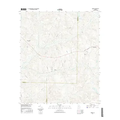 2017 Morris2017 Print · USGSThe tri-county border of Quitman, Clay, and Randolph counties is revealed in this modern survey of southwest Georgia. Researchers can trace rural lineages through family-named routes and local landmarks like Springvale Cem, Morris, and the waters of Pataula Creek.
 - 2017 Map of Bluffton, 2017 Print
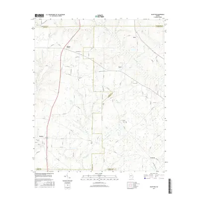 2017 Bluffton2017 Print · USGSSouthwest Georgia in the 2010s reveals a deeply agricultural landscape marked by crossroads settlements and a network of rural cemeteries. Genealogists can trace family landmarks like Mars Hill Cem and Vincent Cem or locate the small community of Suttons Corner.
 - 2017 Map of Zetto, 2017 Print
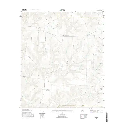 2017 Zetto2017 Print · USGSClay County's rural crossroads and family homesteads are preserved in this recent survey of the Southwest Georgia landscape. Researchers can trace the layout of small communities like Zetto and Bellville or locate historic burial grounds such as Wesley Cem and Mount Zion Cem.
Showing maps 1-25 of 33
Top cities of Clay County
Frequently asked questions
- What are the different types of historical maps available for Clay County?
- What is the oldest map of Clay County?
- Where can I purchase historical maps of Clay County for my home or office?
- Where can I download high-res historical maps of Clay County?
- Are there historical topographic maps available for Clay County?
- Is there historical aerial imagery available for Clay County?
- Where are historical maps of Clay County sourced from?