2000s (21st Century) Maps of Dougherty County, Georgia
Explore 60 historic maps of Dougherty County from the 2000s (21st Century). These maps offer a rare glimpse into what life looked like during the 2000s — showing old roads, neighborhoods, homes, and landmarks that have changed or disappeared over time.
Whether you're researching your family's past, planning a metal detecting trip, or studying how Dougherty County's landscape evolved across the 2000s, these high-resolution maps are a powerful tool for exploring the history of this region.
- Focus on a specific era: All maps on this page are from the 2000s, giving you a focused view of this time period.
- See what’s changed: Compare century-old streets, trails, and buildings to today's modern landscape using overlays and satellite layers.
- Research with precision: Use these maps for genealogy, historical research, land use analysis, or educational projects.
- View, download, or print: Maps are fully viewable online in high resolution, and can be downloaded or printed for your own records.
Start exploring Dougherty County's history through authentic maps from the 2000s. This is your window into the past.
Dougherty County, GA maps
(60)- 2011 Map of Pretoria, 2011 Print
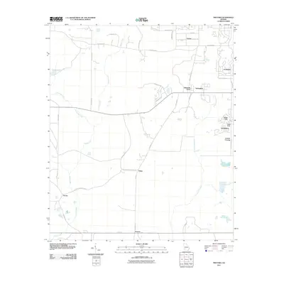 2011 Pretoria2011 Print · USGSDougherty County at the turn of the decade shows the meeting of established agricultural life and modern residential growth. Trace local family history and rural routes near Pretoria, Lockett Crossing, and the banks of Cooleewahee Creek.
 - 2011 Map of Albany NE, 2011 Print
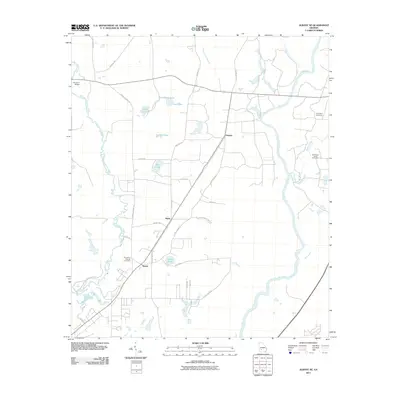 2011 Albany NE2011 Print · USGSThe rural landscapes of Lee County are documented here during the early twenty-first century, highlighting a region defined by river networks and small rail-stops. You can trace family history at Old Mount Horeb Cemetery or explore the wetlands around Coney Lake and Beloit.
 - 2011 Map of Baconton North, 2011 Print
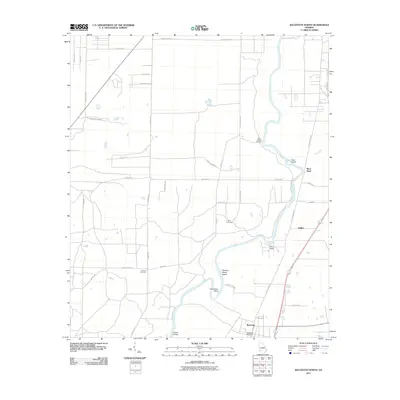 2011 Baconton North2011 Print · USGSDougherty and Mitchell Counties are captured here in the early twenty-first century as the Flint River meanders through a landscape of rural roads and quiet settlements. Researchers can locate family landmarks such as Hard Up Cemetery, the Baconton Post Office, and the riverside community of DeWitt.
 - 2011 Map of Albany West, 2011 Print
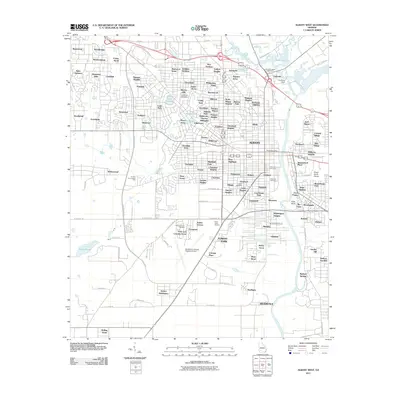 2011 Albany West2011 Print · USGSAlbany's western expansion and riverfront developments are documented here in the early twenty-first century. Genealogists and historians can trace numerous community sites like Mount Bethel Church, Floral Memory Gardens, and the Southwest Georgia Regional Airport.
 - 2011 Map of Bermuda, 2011 Print
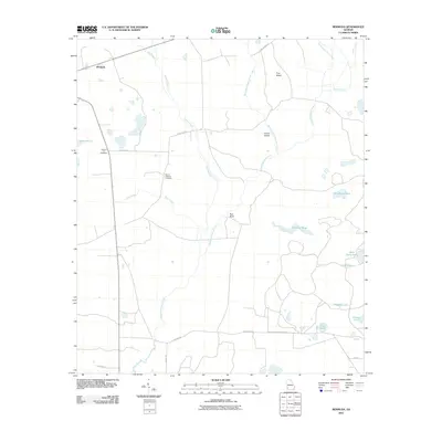 2011 Bermuda2011 Print · USGSBermuda and rural Calhoun County are shown here in the early 21st century, revealing a landscape defined by creeks and family burial grounds. Genealogists can locate Pleasant Hill Cemetery and Mount Pleasant Cemetery or trace the waters of Chickasawhatchee Creek.
 - 2011 Map of Red Store Crossroads, 2011 Print
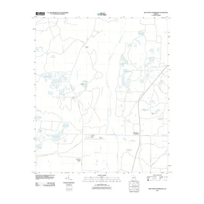 2011 Red Store Crossroads2011 Print · USGSBaker County's rural landscape at the start of the 2010s is characterized by an extensive system of ponds and family cemeteries. Genealogists and local historians can trace community roots through Whitehill Cemetery and Clifton Cemetery or locate private landmarks like Pinebloom Farm Airport.
 - 2011 Map of Holt, 2011 Print
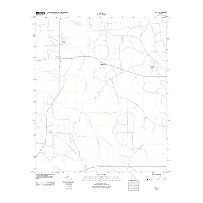 2011 Holt2011 Print · USGSThis Georgia landscape at the start of the 2010s reveals a rural region defined by its watercourses and family cemeteries. Genealogy researchers can locate Saint Paul and Salem Cemetery, or trace the winding paths of Chickasawhatchee Creek and Tallahassee Creek.
 - 2011 Map of Putney, 2011 Print
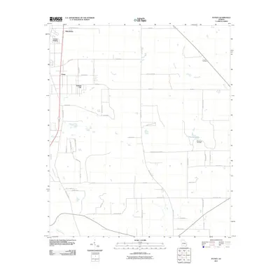 2011 Putney2011 Print · USGSDougherty County at the turn of the decade shows a landscape of growing residential pockets and rural roads. Genealogists can locate family landmarks like Antioch Cemetery, Hollands Folly, and the dam at Weatherby Lake.
 - 2011 Map of Albany East, 2011 Print
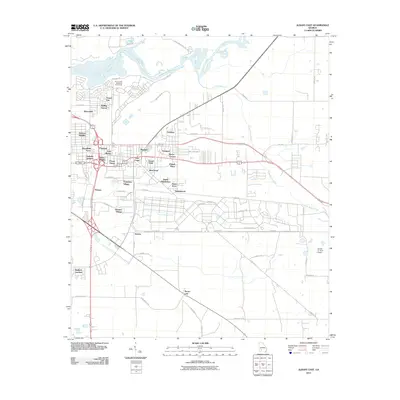 2011 Albany East2011 Print · USGSEast of the Flint River in the early 2000s, this area shows the suburban growth and neighborhood identities of modern Albany. Researchers can trace the development of numerous subdivisions like Isabella Heights and Pecan City alongside landmarks like the Double 'O' Farm Airport.
 - 2011 Map of Bridgeboro, 2011 Print
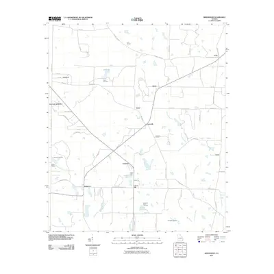 2011 Bridgeboro2011 Print · USGSWorth County agricultural lands and the Ochlockonee River are documented here in the early twenty-first century. Genealogists can locate several family-named landmarks and burial grounds, including Parker Cemetery, Liberty Hill, and Parkerville.
 - 2011 Map of Doles, 2011 Print
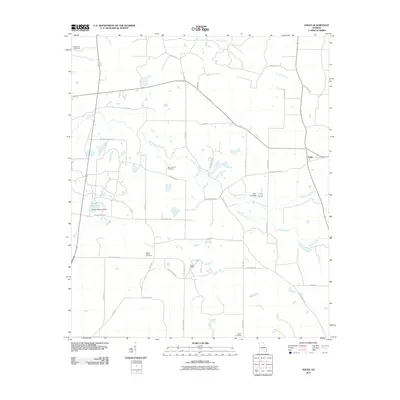 2011 Doles2011 Print · USGSAgricultural land and winding creek systems dominate this Georgia landscape in the early twenty-first century. Genealogists can trace family footprints through several historic burial sites, including Saint James Cemetery and Mount Horeb Cemetery.
 - 2011 Map of Acree, 2011 Print
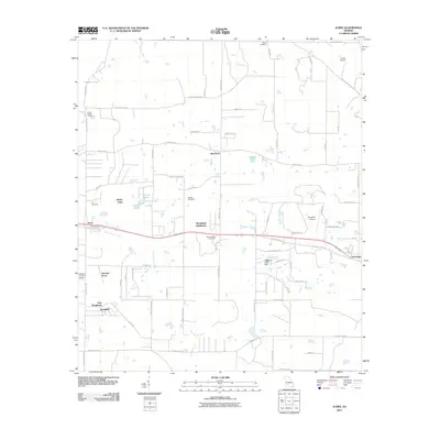 2011 Acree2011 Print · USGSDougherty County's rural communities and early 21st-century subdivisions are showcased here east of Albany. Genealogists and local historians can locate several family and community burial sites, including Salem Cemetery and Bethel Cemetery, alongside small enclaves like Acree and Gammage.
 - 2014 Map of Holt, 2014 Print
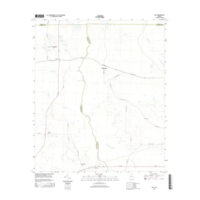 2014 Holt2014 Print · USGSSouthwest Georgia's rural landscape is captured here in the early twenty-first century, showing the intersection of Calhoun, Terrell, and Dougherty counties. Local researchers can trace family lands near Gillionville and old burial sites like Salem Cem or Spring Creek Cem.
 - 2014 Map of Red Store Crossroads, 2014 Print
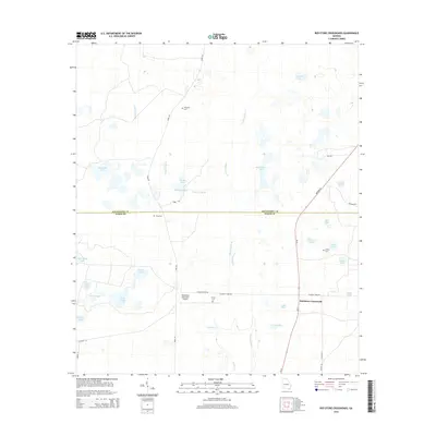 2014 Red Store Crossroads2014 Print · USGSBaker and Dougherty Counties appear here in the 2010s, showing a lowland landscape of cypress lakes and family-named ponds. Researchers can find numerous burial grounds such as Whitehill Cem and Trinity Cem near Red Store Crossroads.
 - 2014 Map of Pretoria, 2014 Print
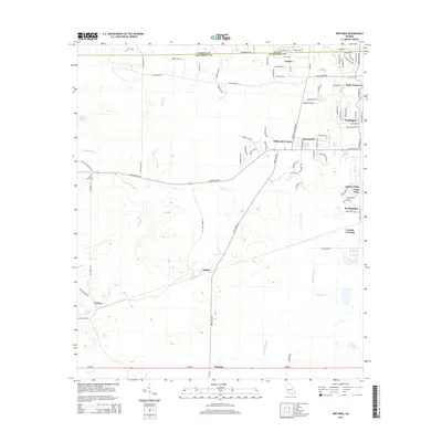 2014 Pretoria2014 Print · USGSDougherty County's rural-to-suburban transition is evident in the early twenty-first century as Albany expands westward. Genealogists and local historians can trace family locations near Mossy Grove Cem or through the established settlements of Pretoria and Vancise.
 - 2014 Map of Bridgeboro, 2014 Print
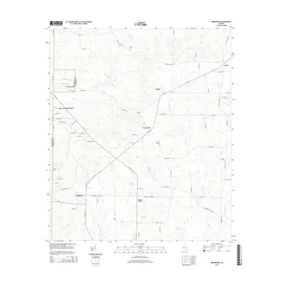 2014 Bridgeboro2014 Print · USGSWorth County and its neighbors show a landscape of traditional farming and rural intersections in the early twenty-first century. Researchers can trace family history through local landmarks like Bridgeboro, Liberty Hill, and the Parkerville Cem.
 - 2014 Map of Acree, 2014 Print
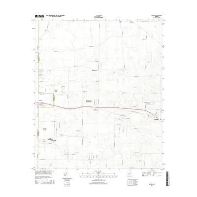 2014 Acree2014 Print · USGSCoastal plain agriculture meets growing residential hubs along the Dougherty and Worth county line in the early 2010s. Genealogists can locate family landmarks like Mt Holder Cem, Bethel Cem, and the historic railroad community of Acree.
 - 2014 Map of Putney, 2014 Print
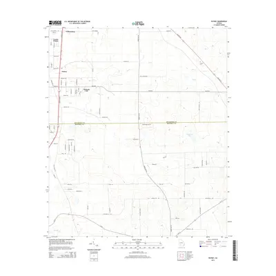 2014 Putney2014 Print · USGSThe Putney area in southwestern Georgia reflects a blend of residential growth and rural heritage during the early 2010s. Genealogists and local historians can trace family locations near Antioch Cem, Hollands Folly, and the historic Stagecoach Rd.
 - 2014 Map of Albany West, 2014 Print
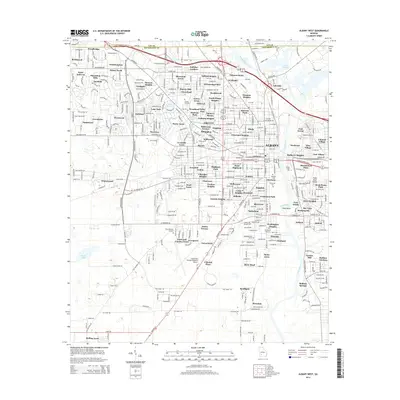 2014 Albany West2014 Print · USGSWest Albany during the early twenty-first century shows a landscape of steady suburban expansion reaching toward the Southwest Georgia Regional Airport. Genealogists and local historians can trace residential roots through established neighborhoods like Sherwood Acres or locate family sites at Crown Hill Cem and Oakview Cem.
 - 2014 Map of Albany NE, 2014 Print
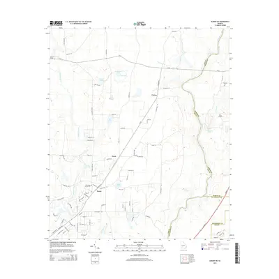 2014 Albany NE2014 Print · USGSThe rural borderlands of Lee and Worth counties are captured here in the early twenty-first century, showing a landscape defined by the Flint River and numerous natural springs. Researchers can locate family sites near Thundering Springs Cem or trace the early paths of Beloit and Chehaw.
 - 2014 Map of Albany East, 2014 Print
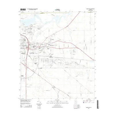 2014 Albany East2014 Print · USGSDougherty County's eastern neighborhoods and riverfront developments are documented here in the early twenty-first century. Genealogists and local historians can trace residential roots through named districts like Radium Gardens, Pecan City, and Eleanor Village.
 - 2014 Map of Bermuda, 2014 Print
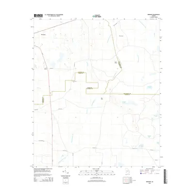 2014 Bermuda2014 Print · USGSBermuda and the surrounding rural landscape in Southwest Georgia are captured here in the early twenty-first century. Genealogists and local historians can locate Mt Pleasant Cem, trace the waters of Blue Spring, and find the named banks of Red Bluff.
 - 2014 Map of Baconton North, 2014 Print
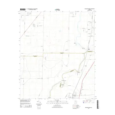 2014 Baconton North2014 Print · USGSSouthwest Georgia's river-bottom lands are shown here in the early 2010s, where the winding Flint River connects rural communities. Genealogists and local historians can locate several family-named burial grounds like Davis Cem and Hard Up Cem, as well as Blue Hole Spring.
 - 2014 Map of Doles, 2014 Print
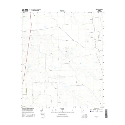 2014 Doles2014 Print · USGSThe rural borderlands of Worth and Dougherty counties are captured here in the early 2010s, revealing a landscape of family-named roads and quiet watercourses. Genealogists can trace local history through burial sites like Mt Horeb Cem or follow the path of Mill Cr to the Mercer Millpond.
 - 2017 Map of Baconton North, 2017 Print
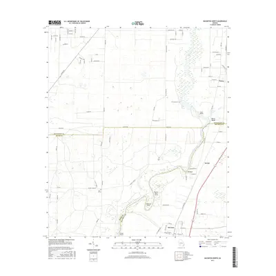 2017 Baconton North2017 Print · USGSSouth Georgia’s riverine landscape comes to life in this survey of the Flint River corridor during the late twenty-teens. Researchers can pinpoint ancestral sites like Hard Up Cem or trace the river's path past Horseshoe Bend and Wilson Blue Spring.
Showing maps 1-25 of 60
Top cities of Dougherty County
Frequently asked questions
- What are the different types of historical maps available for Dougherty County?
- What is the oldest map of Dougherty County?
- Where can I purchase historical maps of Dougherty County for my home or office?
- Where can I download high-res historical maps of Dougherty County?
- Are there historical topographic maps available for Dougherty County?
- Is there historical aerial imagery available for Dougherty County?
- Where are historical maps of Dougherty County sourced from?