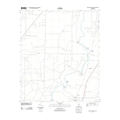
2011 Map of Baconton North
USGS Topo · Published 2011About this map
The Flint River defines the central geography of this portion of Mitchell and Dougherty Counties, cutting a winding path marked by distinct riverine features like Buzzard Roost Island, Goat Island, and Horseshoe Bend. The settlement of Baconton anchors the southern end of the sheet, where the Baconton Post Office serves the local community. Further north along the river corridor, the map identifies the small community of DeWitt and the riverside area of River Bend.
Find a feature on this map
40 named features on this map. Tap any name to fly to it.
Don’t see what you’re looking for? This feature index may not catch every label — zoom into the map to look around manually.
Map Details
Editions of this 2011 Baconton North Map
This is the sole edition of this map. No revisions or reprints were ever made.
Other maps of this area

1953 · Dothan
USGS Topo · 1:250,000

1954 · Dothan
USGS Topo · 1:250,000

1955 · Dothan
USGS Topo · 1:250,000

1956 · Albany East
USGS Topo · 1:24,000

1956 · Albany West
USGS Topo · 1:24,000

1956 · Baconton
USGS Topo · 1:62,500

1956 · Newton
USGS Topo · 1:62,500

1956 · Sasser
USGS Topo · 1:62,500

1956 · Albany
USGS Topo · 1:62,500

1973 · Pretoria
USGS Topo · 1:24,000