2000s (21st Century) Maps of Lumpkin County, Georgia
Explore 60 historic maps of Lumpkin County from the 2000s (21st Century). These maps offer a rare glimpse into what life looked like during the 2000s — showing old roads, neighborhoods, homes, and landmarks that have changed or disappeared over time.
Whether you're researching your family's past, planning a metal detecting trip, or studying how Lumpkin County's landscape evolved across the 2000s, these high-resolution maps are a powerful tool for exploring the history of this region.
- Focus on a specific era: All maps on this page are from the 2000s, giving you a focused view of this time period.
- See what’s changed: Compare century-old streets, trails, and buildings to today's modern landscape using overlays and satellite layers.
- Research with precision: Use these maps for genealogy, historical research, land use analysis, or educational projects.
- View, download, or print: Maps are fully viewable online in high resolution, and can be downloaded or printed for your own records.
Start exploring Lumpkin County's history through authentic maps from the 2000s. This is your window into the past.
Lumpkin County, GA maps
(60)- 2011 Map of Cleveland, 2011 Print
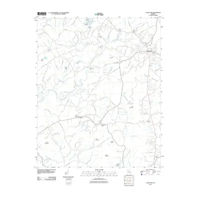 2011 Cleveland2011 Print · USGSCleveland and the surrounding North Georgia foothills appear here during the early twenty-first century. Genealogists and local historians can trace family locations near Smiths Chapel Cemetery, the settlement at Tesnatee, and landmarks like Long Mountain.
 - 2011 Map of Clermont, 2011 Print
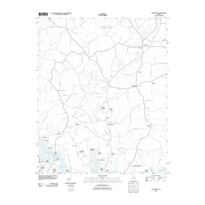 2011 Clermont2011 Print · USGSHall County in the early twenty-first century reveals a landscape where the rural highlands meet the modern shorelines of Lake Sidney Lanier. Genealogists and researchers can trace family landmarks like Mount Vernon Cemetery and historic settlements such as Clermont and Brookton.
 - 2011 Map of Murrayville, 2011 Print
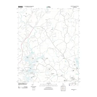 2011 Murrayville2011 Print · USGSLumpkin County at the start of the 2010s shows a landscape shaped by the waters of the Lake Sidney Lanier reservoir and a long history of gold mining. Local historians can trace family sites near Yellow Creek Cemetery or locate old operations like the Calhoun Gold Mine and Turkey Hill Mine.
 - 2011 Map of Juno, 2011 Print
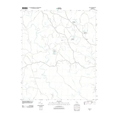 2011 Juno2011 Print · USGSDawson County at the start of the decade reveals a landscape defined by the Etowah River watershed and rural crossroads. Local historians can trace family land via Chastain Mill Rd and locate landmarks like Elliott Field or the settlement at McKee.
 - 2011 Map of Campbell Mountain, 2011 Print
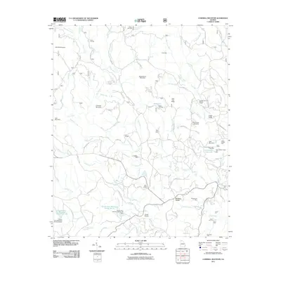 2011 Campbell Mountain2011 Print · USGSIn the Georgia foothills near Dahlonega, this early 21st-century survey reveals a landscape shaped by both the gold mining era and rural community life. Researchers can locate the Barlow Mine, trace family history at Davis Chapel Cemetery, and identify landmarks like Buckhorn Tavern or Camp Wahsega.
 - 2011 Map of Cowrock, 2011 Print
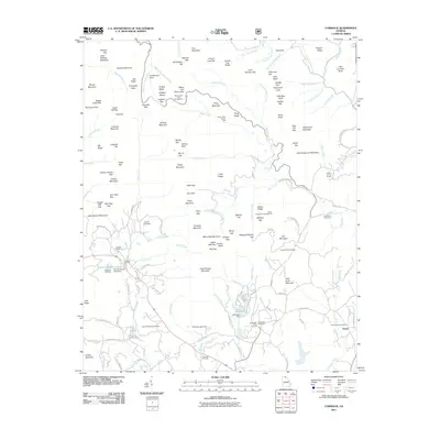 2011 Cowrock2011 Print · USGSUpper White County at the turn of the decade is a landscape of high ridges and narrow valleys where mountain life centered around ancient gaps and family burial grounds. Genealogists can trace local heritage at Tesnatee Cemetery, Dukes Creek Cemetery, and the Loudsville Camp Ground.
 - 2011 Map of Dawsonville, 2011 Print
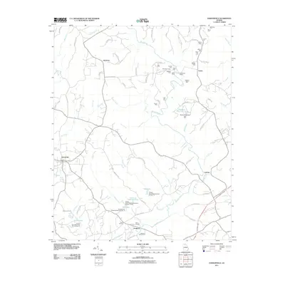 2011 Dawsonville2011 Print · USGSThis Georgia gold belt region in the early twenty-first century reveals a landscape shaped by historical mining and river management. Researchers can trace the heritage of Auraria through numerous legacy sites like the Battle Branch Mine, Whim Hill Mine, and Palmer Cemetery.
 - 2011 Map of Nimblewill, 2011 Print
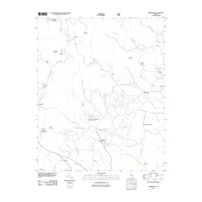 2011 Nimblewill2011 Print · USGSThe foothills of the Blue Ridge come into focus here in the early twenty-first century, showing a landscape of steep gaps and mountain settlements. You can trace the winding paths to High Shoals Cemetery, Amicalola Falls, and the old community of Nimblewill.
 - 2011 Map of Dahlonega, 2011 Print
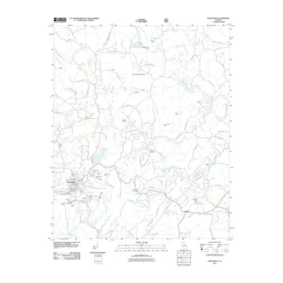 2011 Dahlonega2011 Print · USGSDahlonega and its surrounding gold-bearing ridges are shown in detail during the early twenty-first century. Researchers can trace a legacy of mining through labels for the Consolidated Mine, Findley Ridge, and the Chestatee Mine.
 - 2011 Map of Noontootla, 2011 Print
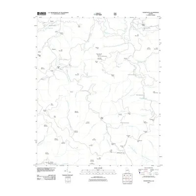 2011 Noontootla2011 Print · USGSFannin County’s high country is documented here during the early twenty-first century, showing the area’s transition into a premier recreation destination. Genealogists and hikers can trace old family sites like Wilson Mill or locate the Hawks Mountain Trail Shelter and Noontootla Cemetery.
 - 2011 Map of Neel Gap, 2011 Print
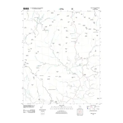 2011 Neel Gap2011 Print · USGSThe Georgia mountains around Porter Springs appear here in the early twenty-first century as a land of high ridges and narrow gaps. Researchers can locate the historical sites of Fort Smith and Stonepile Gap or trace the drainage of the Chestatee River.
 - 2011 Map of Suches, 2011 Print
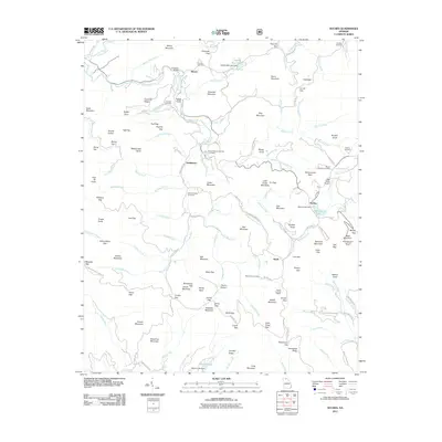 2011 Suches2011 Print · USGSSuches and the high mountain gaps of Union County are captured here in the early twenty-first century. Genealogists and hikers can trace old family burial grounds like Corinth Cemetery or find landmarks such as the Black Mountain Look Out Tower and Gooch Gap Trail Shelter.
 - 2014 Map of Juno, 2014 Print
 2014 Juno2014 Print · USGSDawson and Lumpkin Counties are shown here during the early twenty-first century, capturing a landscape where rural settlements meet the Appalachian foothills. Local historians can trace family-named landmarks and water bodies like Elliott Field Airport, Amicalola Creek, and the settlement of Juno.
 - 2014 Map of Noontootla, 2014 Print
 2014 Noontootla2014 Print · USGSThe high ridges and deep valleys of Fannin County are shown in detail as they appeared in the early 21st century. Genealogists can locate family burial sites like Greenway Cem and Stock Hill Cem, or trace the path of the Toccoa River past Wilson Mill.
 - 2014 Map of Clermont, 2014 Print
 2014 Clermont2014 Print · USGSIn the hills of Hall County during the early 2010s, this area shows the contrast between old mountain cemeteries and the rising waters of the reservoir. Researchers can locate Walka Mtn Cem, trace the drainage of W Fork Little River, or find the Nopone Lookout Tower near Whitmire.
 - 2014 Map of Murrayville, 2014 Print
 2014 Murrayville2014 Print · USGSThe foothills of the Georgia Piedmont meet the expansive waters of Lake Sidney Lanier in the early 21st century. Trace local family roots and community nodes at Yellow Creek Cem, Murrayville, and Mount Olive Church.
 - 2014 Map of Nimblewill, 2014 Print
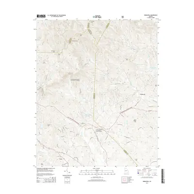 2014 Nimblewill2014 Print · USGSThe northern Georgia highlands are documented here during the early twenty-first century, showing the intersection of military training grounds and protected forest. Genealogists and hikers can trace sites like High Shoals Cem. or follow the route to Amicalola Falls.
 - 2014 Map of Dawsonville, 2014 Print
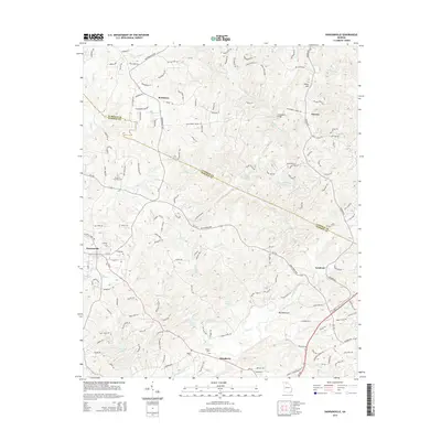 2014 Dawsonville2014 Print · USGSDawson County at the dawn of the twenty-first century reveals a landscape of growing communities and enduring rural landmarks. Genealogists and local historians can trace family ties at Palmer Cem or explore the historic settlements of Auraria and Dougherty.
 - 2014 Map of Suches, 2014 Print
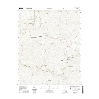 2014 Suches2014 Print · USGSThe North Georgia mountains around Suches and Gaddistown are captured here in the early twenty-first century. Genealogists and hikers can trace the connections between old family burial grounds like Woody Cem and the gaps along the Blue Ridge.
 - 2014 Map of Campbell Mountain, 2014 Print
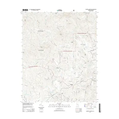 2014 Campbell Mountain2014 Print · USGSLumpkin County's mountain landscape near Dahlonega is shown here in the early twenty-first century as modern developments meet national forest lands. Genealogists and hikers can trace sites like Davis Chapel Cem, Buckhorn Tavern, and Cane Cr Falls.
 - 2014 Map of Neel Gap, 2014 Print
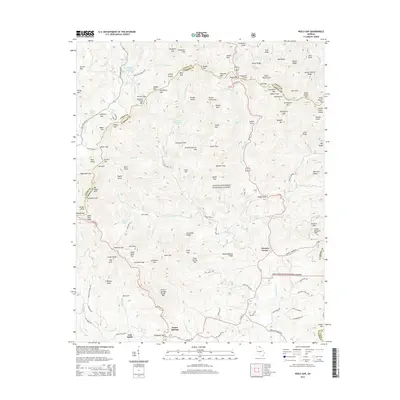 2014 Neel Gap2014 Print · USGSThe North Georgia mountains come into focus in the mid-2010s, showing a landscape of high gaps and protected forests. Genealogists and local historians can trace family-named landmarks like Porter Springs and Fort Smith alongside landmarks like Lake Winfield Scott.
 - 2014 Map of Dahlonega, 2014 Print
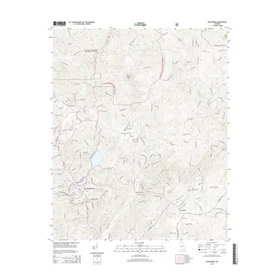 2014 Dahlonega2014 Print · USGSDahlonega and its surrounding mountain ridges appear in high detail during the early 2010s. Local researchers can trace family-named landmarks like Beardons Bridge and Mt Hope Cem alongside the waters of Yahoola Creek and the Chestatee River.
 - 2014 Map of Cowrock, 2014 Print
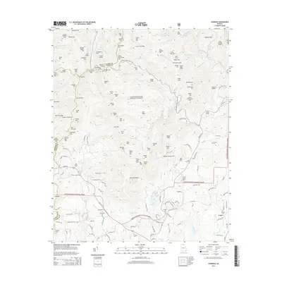 2014 Cowrock2014 Print · USGSWhite and Union counties in the early 2010s show a terrain of steep ridges and numerous family burial grounds. Researchers can find old community sites like Yonah and trace heritage at Tesnatee Cem, Louisville Cem, or Dukes Creek Cem.
 - 2014 Map of Cleveland, 2014 Print
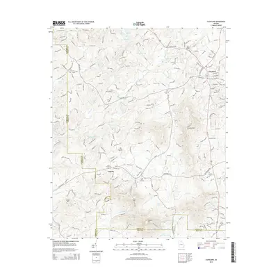 2014 Cleveland2014 Print · USGSCleveland and the surrounding White County hills are documented here in the early twenty-first century as the region balanced its rural roots with new growth. Local researchers can locate numerous community landmarks, including Smiths Chapel Cem, Deer Crossing Airport, and the Chestatee River.
 - 2017 Map of Nimblewill, 2017 Print
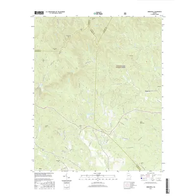 2017 Nimblewill2017 Print · USGSNorth Georgia's high country is documented here in the late twenty-teens, showing the rugged intersection of four counties within the Chattahoochee National Forest. Researchers can trace old family burial grounds at High Shoals Cem or locate Amicalola Falls and the southern terminus area of the Appalachian Trail near Springer Mtn.
Showing maps 1-25 of 60
Top cities of Lumpkin County
Frequently asked questions
- What are the different types of historical maps available for Lumpkin County?
- What is the oldest map of Lumpkin County?
- Where can I purchase historical maps of Lumpkin County for my home or office?
- Where can I download high-res historical maps of Lumpkin County?
- Are there historical topographic maps available for Lumpkin County?
- Is there historical aerial imagery available for Lumpkin County?
- Where are historical maps of Lumpkin County sourced from?